E-bok, Engelska, 2006
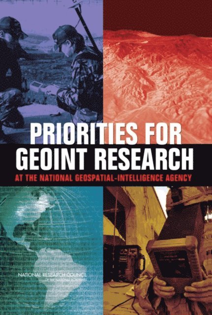
Priorities for GEOINT Research at the National Geospatial-Intelligence Agency
Av Committee on Basic and Applied Research Priorities in Geospatial Science for the National Geospatial-Intelligence Agency, Mapping Science Committee, Board on Earth Sciences and Resources, Division on Earth and Life Studies, National Research Council
494 kr
Läs direkt i Bokus Reader – eller ladda ned till din enhet (PDF kräver ofta zoom och scroll på små skärmar).
Beskrivning
The National Geospatial-Intelligence Agency (NGA) provides geospatial intelligence (GEOINT) to support national security, both as a national intelligence and a combat support agency. In the post-9/11 world, the need for faster and more accurate geospatial intelligence is increasing. GEOINT uses imagery and geospatial data and information to provide knowledge for planning, decisions, and action. For example, data from satellites, pilotless aircraft and ground sensors are integrated with maps and other intelligence data to provide location information on a potential target. This report defines 12 hard problems in geospatial science that NGA must resolve in order to evolve their capabilities to meet future needs. Many of the hard research problems are related to integration of data collected from an ever-growing variety of sensors and non-spatial data sources, and analysis of spatial data collected during a sequence of time (spatio-temporal data). The report also suggests promising approaches in geospatial science and related disciplines for meeting these challenges. The results of this study are intended to help NGA prioritize geospatial science research directions.
Produktinformation
- Utgivningsdatum: 2006-05-10
- Språk: Engelska
- Antal sidor: 114
- Filformat: PDF
- Kopieringsskydd: LCP
- ISBN: 9780309658621
- Förlag: National Academies Press
Utforska kategorier
Betyg & recensioner
0 recensioner
Inga recensioner tillgängliga.