• Fri frakt över 249 kr
  • •
  • Snabba leveranser
  • •
  • Billiga böcker
Kundservice

Du är på sajten för privatpersoner.

Företag, bibliotek eller offentlig verksamhet?

Du handlar på classic.bokus.com, där alla dina funktioner finns intakta.
Till classic.bokus.com
Bokus logotyp. Gå till startsidan.
  • Erbjudanden
  • Student
  • Topplistor
  • Barn & ungdom
  • Bokus Play
  • E-böcker
  • Ljudböcker
  • Pocketböcker
  • Spel & pussel

Upp till 25% på utvalda nyheter →

Sidfot

Mina sidor

    Hjälp

    • Kundservice
    • Vanliga frågor och svar
    • Frakt och leverans
    • Retur vid ångerrätt
    • Reklamera vara
    • Betalning
    • Köpvillkor
    • Allmänna villkor
    • Information om webbplatsens tillgänglighet

    Om Bokus

    • Om oss
    • Pressrum
    • För studenter
    • För företag
    • För bibliotek och offentlig verksamhet
    • För leverantörer
    • Hållbarhet

    Populärt

    • Aktuella erbjudanden
    • Presentkort
    • Studentlitteratur
    • Nya böcker
    • Topplistor
    • Signerade böcker
    • Engelska böcker

    Inspiration

    • Boktips
    • BookTok
    • Populära bokserier
    • Barnbokskaraktärer
    • Populära författare
    Logotyp för Bokus
    Följ oss på Facebook (extern länk)Följ oss på Instagram (extern länk)Följ oss på YouTube (extern länk)Följ oss på TikTok (extern länk)
    bokus @ CookiesAnpassa cookiesIntegritetspolicyKöpvillkor
    Till Citymail hemsida (extern länk)Till Budbee hemsida (extern länk)Till Postnord hemsida (extern länk)Till Schenker hemsida (extern länk)Till Early Bird hemsida (extern länk)Till Walleys hemsida (extern länk)
    1. Data och IT
    2. Databaser

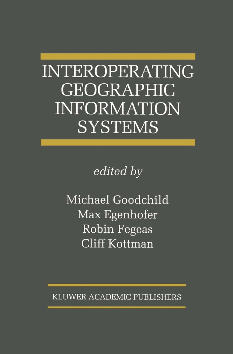
    Interoperating Geographic Information Systems

    AvMichael Goodchild,Max J. Egenhofer

    Inbunden, Engelska, 1999

    Del i serien Springer International Series in Engineering and Computer Science

    2 166 kr

    Beställningsvara. Skickas inom 10-15 vardagar. Fri frakt över 249 kr.

    Beskrivning

    Geographic information systems have developed rapidly in the past decade, and are now a major class of software, with applications that include infrastructure maintenance, resource management, agriculture, Earth science, and planning. But a lack of standards has led to a general inability for one GIS to interoperate with another. It is difficult for one GIS to share data with another, or for people trained on one system to adapt easily to the commands and user interface of another. Failure to interoperate is a problem at many levels, ranging from the purely technical to the semantic and the institutional. Interoperating Geographic Information Systems is about efforts to improve the ability of GISs to interoperate, and has been assembled through a collaboration between academic researchers and the software vendor community under the auspices of the US National Center for Geographic Information and Analysis and the Open GIS Consortium Inc. It includes chapters on the basic principles and the various conceptual frameworks that the research community has developed to think about the problem. Other chapters review a wide range of applications and the experiences of the authors in trying to achieve interoperability at a practical level. Interoperability opens enormous potential for new ways of using GIS and new mechanisms for exchanging data, and these are covered in chapters on information marketplaces, with special reference to geographic information. Institutional arrangements are also likely to be profoundly affected by the trend towards interoperable systems, and nowhere is the impact of interoperability more likely to cause fundamental change than in education, as educators address the needs of a new generation of GIS users with access to a new generation of tools. The book concludes with a series of chapters on education and institutional change. Interoperating Geographic Information Systems is suitable asa secondary text for graduate level courses in computer science, geography, spatial databases, and interoperability and as a reference for researchers and practitioners in industry, commerce and government.

    Produktinformation

    • Utgivningsdatum:1999-02-28
    • Mått:155 x 235 x 30 mm
    • Vikt:924 g
    • Format:Inbunden
    • Språk:Engelska
    • Serie:Springer International Series in Engineering and Computer Science
    • Antal sidor:509
    • Upplaga:1999
    • Förlag:Kluwer Academic Publishers
    • ISBN:9780792384366

    Utforska kategorier

    • Databaser inom Data och IT
    • Geografi inom Naturvetenskap och teknik

    Innehållsförteckning

    • Theory and Concepts.- 1. Introduction.- 2. Changing focus on interoperability in information systems: from system, syntax, structure to semantics.- 3. Interoperability and spatial information theory.- 4. The Open GIS Consortium and progress toward interoperability in GIS.- 5. Probing the concept of information communities—a first step toward semantic interoperability.- 6. Characterizing the semantic content of geographic data, models, and systems.- 7. Designing for interoperability: Overcoming semantic differences.- 8.Interoperability by exchanging executable content.- 9. Supporting interoperation of GIS objects.- 10. A specification language for interoperable GIS.- Modeling in Distributed Environments.- 11. Introduction.- 12. Interoperability of geographic information: From the spreadsheet to virtual environments.- 13. Geographical modeling in heterogeneous computing environments.- 14. Geospatial information extraction: Querying or quarrying?.- 15. Geospatial modeling: A case study for a statewide land information strategy.- 16. Information brokers for a Web-based geographic information system.- 17. Automated metadata interpretation to assist in the use of unfamiliar GIS data sources.- Systems and Experiences.- 18.Introduction.- 19.IRIS: A tool to support data analysis with maps.- 20. GeoToolKit: Opening access to object-oriented geodata stores.- 21. The geospatial interoperability problem: Lessons learned from building the GeoLens prototype.- 22. A middleware architecture for transparent access to multiple spatial object databases.- 23. Interoperating geographic information systems using the open geospatial datastore interface (OGDI).- 24. DIAL: A Web-based interoperable scientific data distribution system.- 25. Using the Internet to access geographic information:An Open GIS prototype.- 26. GEOLIB: A software component for making GIS tools interoperable.- 27. Software agent-oriented frameworks for the interoperability of georeferenced digital libraries on the World Wide Web: The SIGAL project.- 28. Interoperability with the Earth Science Remote Access Tool (ESRAT).- 29. Multi-server Internet GIS: Standardization and practical experiences.- 30. A visual geospatial information server (VGIS) providing transparent access to heterogeneous sources.- Education, Institutions, and Markets.- 31. Introduction.- 32. Organizational and technological interoperability for geographic information infrastructures.- 33. Spatial Internet marketplaces from a database perspective.- 34. From GISystems to GlServices: Spatial computing on the Internet marketplace.- 35. Interoperable education for interoperable GIS.- 36. Interoperability through organization: Digital libraries for distributed geospatial information.- Epilog.- Consolidated References.