• Fri frakt över 249 kr
  • •
  • Snabba leveranser
  • •
  • Billiga böcker
Kundservice

Du är på sajten för privatpersoner.

Företag, bibliotek eller offentlig verksamhet?

Du handlar på classic.bokus.com, där alla dina funktioner finns intakta.
Till classic.bokus.com
Bokus logotyp. Gå till startsidan.
  • Erbjudanden
  • Nyheter
  • Student
  • Topplistor
  • Barn & ungdom
  • Bokus Play
  • E-böcker
  • Pocketböcker
  • Spel & pussel

10% rabatt på allt med kod: NYSTART10 →

Sidfot

Mina sidor

    Hjälp

    • Kundservice
    • Vanliga frågor och svar
    • Frakt och leverans
    • Retur vid ångerrätt
    • Reklamera vara
    • Betalning
    • Köpvillkor
    • Allmänna villkor
    • Information om webbplatsens tillgänglighet

    Om Bokus

    • Om oss
    • Pressrum
    • För studenter
    • För företag
    • För bibliotek och offentlig verksamhet
    • För leverantörer
    • Hållbarhet

    Populärt

    • Aktuella erbjudanden
    • Presentkort
    • Studentlitteratur
    • Nya böcker
    • Topplistor
    • Signerade böcker
    • Engelska böcker

    Inspiration

    • Boktips
    • BookTok
    • Populära bokserier
    • Barnbokskaraktärer
    • Populära författare
    Logotyp för Bokus
    Följ oss på Facebook (extern länk)Följ oss på Instagram (extern länk)Följ oss på YouTube (extern länk)Följ oss på TikTok (extern länk)
    bokus @ CookiesAnpassa cookiesIntegritetspolicyKöpvillkor
    Till Citymail hemsida (extern länk)Till Budbee hemsida (extern länk)Till Postnord hemsida (extern länk)Till Schenker hemsida (extern länk)Till Early Bird hemsida (extern länk)Till Walleys hemsida (extern länk)
    1. Naturvetenskap och teknik
    2. Geovetenskap
    3. Geografi

    3S Technology Applications in Meteorology

    Observations, Methods, and Modelling

    AvShuanggen Jin

    Inbunden, Engelska, 2023

    2 648 kr

    Beställningsvara. Skickas inom 10-15 vardagar. Fri frakt över 249 kr.

    Beskrivning

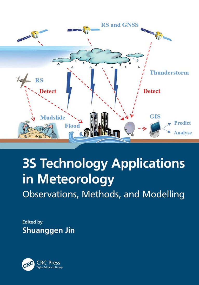
    Spatial information technology and its integration, such as remote sensing, geographic information systems (GIS), and global navigation satellite systems (GNSS), known as 3S technology, have been extensively utilized in managing and monitoring natural disasters. This book illustrates the 3S integrated applications in the field of meteorology and promotes the role of 3S in developing precise and intelligent meteorology. It presents the principles of 3S technology and the methods for monitoring different meteorological disasters and hazards as well as their application progress. The case studies from the United States, Japan, China, and Europe were conducted to help all countries understand the 3S technology functions in handling and monitoring severe meteorological hazards.FEATURESPresents integral observations from GNSS, GIS, and remote sensing in estimating and understanding meteorological changesExplains how to monitor and retrieve atmospheric parameter changes using GNSS and remote sensingShows three-dimensional modelling and evaluations of meteorological variation processing based on GISHelps meteorologists develop and use space-air-ground integrated observations for meteorological applicationsIllustrates the practices in monitoring meteorological hazards using space information techniques and case studiesThis book is intended for academics, researchers, and postgraduate students who specialize in geomatics, atmospheric science, and meteorology, as well as scientists who work in remote sensing and meteorology, and professionals who deal with meteorological hazards.

    Produktinformation

    • Utgivningsdatum:2023-10-19
    • Mått:178 x 254 x 28 mm
    • Vikt:1 000 g
    • Format:Inbunden
    • Språk:Engelska
    • Antal sidor:427
    • Förlag:Taylor & Francis Ltd
    • ISBN:9781032425139

    Utforska kategorier

    • Geografi inom Naturvetenskap och teknik
    • Geovetenskap inom Naturvetenskap och teknik
    • Artificiell intelligens inom Data och IT

    Mer om författaren

    Shuanggen Jin, PhD, is Vice-President and Professor at Henan Polytechnic University, Jiaozuo, China; Professor at Shanghai Astronomical Observatory, CAS, Shanghai, China; and Professor at Nanjing University of Information Science and Technology, Nanjing, China. He earned a BS in geodesy at Wuhan University, China, in 1999; and a PhD in geodesy at University of Chinese Academy of Sciences, China, in 2003. He has worked on satellite navigation, remote sensing, and space/planetary exploration with significant original contributions in the theory, methods, and applications of GNSS remote sensing. He has published over 500 peer-reviewed papers and 12 books/ monographs with more than 12,000 citations and H-index >55, as well as more than 20 patents/software copyrights and over 100 invited talks. He has led over 30 projects from Europe’s ESA, China-Germany (NSFC-DFG), and China’s National Key R&D Program and NSFC. He has supervised over 30 PhD and 50 MSc candidates as well as 20 postdocs.Professor Jin has been Chair of the IUGG Union Commission on Planetary Sciences, President of International Association of Planetary Sciences (IAPS), President of the International Association of CPGPS, Editor-in-Chief of International Journal of Geosciences, Editor-in-Chief of Journal of Environmental and Earth Sciences, Editor of Geoscience Letters, Associate Editor of IEEE Transactions on Geoscience and Remote Sensing and Journal of Navigation, Editorial Board member of Remote Sensing, GPS Solutions, and Journal of Geodynamics.He received First Prize of Satellite Navigation and Positioning Progress Award, First Prize of China Overseas Chinese Contribution Award, 100-Talent Program of CAS, World Class Professor of Ministry of Education and Cultures, Indonesia, Chief Scientist of National Key R&D Program, China, Elsevier China Highly Cited Scholar, World’s Top 2% Scientists, Fellow of the Electromagnetics Academy, Fellow of the International Union of Geodesy and Geophysics (IUGG), Fellow of the International Association of Geodesy (IAG), Fellow of the African Academy of Sciences, Member of the European Academy of Sciences, Member of the Russian Academy of Natural Sciences, Member of the Turkish Academy of Sciences, and Member of Academia Europaea.

    Innehållsförteckning

    • 1. A Review of 3S Technology and Its Applications in Meteorology. 2. Multi-GNSS Near-Real-Time Tropospheric Parameter Estimation and Meteorological Applications. 3. Spatial-Temporal Variation of GNSS ZTD and Its Responses to ENSO Events. 4. Exploration of Cloud and Microphysics Properties from Active and Passive Remote Sensing. 5. Remote Sensing of Cloud Properties Using Passive Spectral Observations. 6. Cloud Detection and Aerosol Optical Depth Retrieval from MODIS Satellite Imagery. 7. Tropical Belt Widening Observation and Implication from GNSS Radio Occultation Measurements. 8. Upper Atmospheric Mass Density Variations and Space Weather Responses from GNSS Precise Orbits. 9. Estimation and Variations of Surface Energy Balance from Ground, Satellite, and Reanalysis Data. 10. Aboveground Carbon Dynamics from SMOS L-Band Vegetation Optical Depth. 11. Sea Ice Thickness Estimation from Spaceborne GNSS-R. 12. Global Soil Moisture Retrieval from Spaceborne GNSS-R Based on Machine Learning Method. 13. Drought Monitoring and Evaluation in Major African Basins from Satellite Gravimetry. 14. Flood Disaster Monitoring and Extraction Based on SAR Data and Optical Data. 15. Flood Hydrological Simulation and Risk Assessment Based on GIS. 16. Numerical Weather Forecast and Multi-Meteorological Data Fusion Based on Artificial Intelligence.