• Fri frakt över 249 kr
  • •
  • Snabba leveranser
  • •
  • Billiga böcker
Kundservice

Du är på sajten för privatpersoner.

Företag, bibliotek eller offentlig verksamhet?

Du handlar på classic.bokus.com, där alla dina funktioner finns intakta.
Till classic.bokus.com
Bokus logotyp. Gå till startsidan.
  • Erbjudanden
  • Student
  • Topplistor
  • Barn & ungdom
  • Bokus Play
  • E-böcker
  • Ljudböcker
  • Pocketböcker
  • Spel och pussel

Pocketfynda! Hundratals böcker för 49 kr/st →

Sidfot

Mina sidor

    Hjälp

    • Kundservice
    • Vanliga frågor och svar
    • Frakt och leverans
    • Retur vid ångerrätt
    • Reklamera vara
    • Betalning
    • Köpvillkor
    • Allmänna villkor
    • Information om webbplatsens tillgänglighet

    Om Bokus

    • Om oss
    • Pressrum
    • För studenter
    • För företag
    • För bibliotek och offentlig verksamhet
    • För leverantörer
    • Hållbarhet

    Populärt

    • Aktuella erbjudanden
    • Presentkort
    • Studentlitteratur
    • Nya böcker
    • Topplistor
    • Signerade böcker
    • Engelska böcker

    Inspiration

    • Boktips
    • BookTok
    • Barnbokskaraktärer
    • Populära författare
    Logotyp för Bokus
    Följ oss på Facebook (extern länk)Följ oss på Instagram (extern länk)Följ oss på YouTube (extern länk)Följ oss på TikTok (extern länk)
    bokus @ CookiesAnpassa cookiesIntegritetspolicyKöpvillkor
    Till Citymail hemsida (extern länk)Till Budbee hemsida (extern länk)Till Postnord hemsida (extern länk)Till Schenker hemsida (extern länk)Till Early Bird hemsida (extern länk)Till Walleys hemsida (extern länk)
    1. Naturvetenskap och teknik
    2. Geovetenskap
    3. Geovetenskap

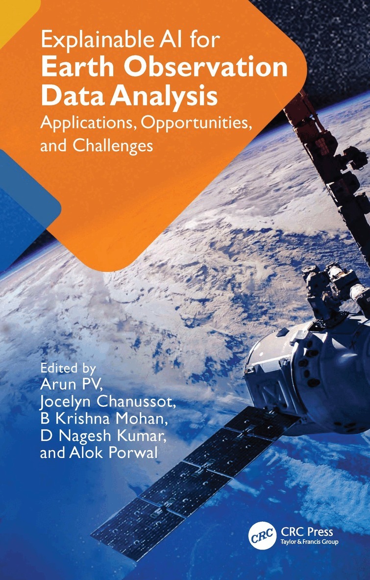
    Explainable AI for Earth Observation Data Analysis

    Applications, Opportunities, and Challenges

    AvArun PV,Jocelyn Chanussot

    Inbunden, Engelska, 2025

    1 753 kr

    Beställningsvara. Skickas inom 10-15 vardagar. Fri frakt över 249 kr.

    Beskrivning

    The role of artificial intelligence is crucial in the domain of Earth Observation (EO) data analysis. Deep learning-based approaches have improved accuracy, but they have affected the reliability and transparency of EO data. It is critical to improve the explainability of EO data analysis algorithms and complex deep learning models to ensure the quality of spatial decisions. This book discusses the various advancements in Explainable AI and investigates their suitability for various EO data analyses offering best practices for implementing algorithms that facilitate big and efficient data processing. It lays the foundation of Explainable EO and helps readers build trustworthy, secure, and robust EO systems.Features:Examines explainability of algorithms from the aspect of generalizability and reliabilityReviews state-of-the-art explainability strategies related to the preprocessing algorithmsProvides explanations for specific evaluation metrics of various EO data processing and preprocessing algorithmsDiscusses explainable ante-hoc and post-hoc approaches for EO data analysisServes as a foundational reference for developing future EO data processing strategiesAddresses the key challenges in making EO data processing algorithms interpretable and offers insights for the future of explainable EO data processingThis book is intended for graduate students, researchers and academics in computer and data science, machine learning, and image processing, as well as professionals in geospatial data science using GIS and remote sensing in Earth and environmental sciences.

    Produktinformation

    • Utgivningsdatum:2025-11-04
    • Mått:156 x 234 x 21 mm
    • Vikt:710 g
    • Format:Inbunden
    • Språk:Engelska
    • Antal sidor:280
    • Förlag:Taylor & Francis Ltd
    • ISBN:9781032980966

    Utforska kategorier

    • Geovetenskap inom Naturvetenskap och teknik
    • Geografi inom Naturvetenskap och teknik
    • Artificiell intelligens inom Data och IT

    Mer om författaren

    Arun PV is Assistant Professor at Indian Institute of Information Technology, Sricity, Chittoor, India. He leads the spatial data analytics and machine intelligence group. He has a PhD from IIT Bombay and has expertise in deep learning and remote sensing data analytics. He has over 15 years of research experience and has published over 70 publications in international journals and conference proceedings.Jocelyn Chanussot is Professor of Signal and Image Processing at the Grenoble Institute of Technology in Grenoble, France. Chanussot was nominated as a Fellow of the Institute of Electrical and Electronics Engineers (IEEE) in 2012 for his contributions to data fusion and image processing for remote sensing where he currently serves as an Editor-in-ChiefB Krishna Mohan is Professor at the Indian Institute of Technology, Bombay, India. From 2016 to 2019 he was the Head of the Centre and Institute’s Chair Professor. He has authored over 150 publications in journals, book chapters, and conference proceedings. He also has led over 45 national and international sponsored projects. Prof. Mohan is the recipient of the Indian Society of Remote Sensing National Geospatial Award for Excellence in 2012.D. Nagesh Kumar has been Professor in the Department of Civil Engineering, at the Indian Institute of Science, Bangalore, India since May 2002. He is a Fellow of the Indian Academy of Sciences, Bangalore. He is the co-author of 8 books and has published more than 220 papers including 131 in peer reviewed journals. He is the Editor-in-Chief of a journal on climate change and water and the Associate Editor for a journal on Hydraulic Engineering.Alok Porwal is Professor at the Indian Institute of Technology, Bombay, India. He specializes in Earth Observation data processing and analysis. From 2021-2024 he was the Head of the Centre and the Institute Chair Professor. He is currently an Editor of an academic journal and has authored over 200 publications in journals, book chapters, and conference proceedings. He has also led over 20 national and international sponsored projects. He is the recipient of SP Sukhatme Award for Excellence.

    Innehållsförteckning

    • 1. Towards Explainable Geospatial AI. 2. Explainable AI Methods: Challenges and Opportunities for EO Data Analysis. 3. Explainable EO Data Pre-processing: Challenges and Way Forward. 4. Explainable Feature Engineering for EO Data Analysis. 5. Towards Explainable Discriminative Models for EO Data Analysis. 6. Towards Explainable Generative Models for EO Data Analysis. 7. Earth Observation Data Analytics: Explainable AI (XAI) Strategies. 8. Towards Correlating Deep Learning Models with Physics-based Models. 9. Explainable Ante-hoc Approaches for EO Data Analysis: Opportunities and Challenges. 10. Explainable Post-hoc Approaches for EO Data Analysis: Opportunities and Challenges. 11. Online Learning Strategies for Explainability. 12. Explainability based Evaluation Metrics. 13. Benchmark Datasets for EO Data Explainability. 14. Applications and Case Studies of Explainable EO Data Analysis. 15. Future Trends in Explainable AI for Geospatial Applications.