Inbunden, Engelska, 2026
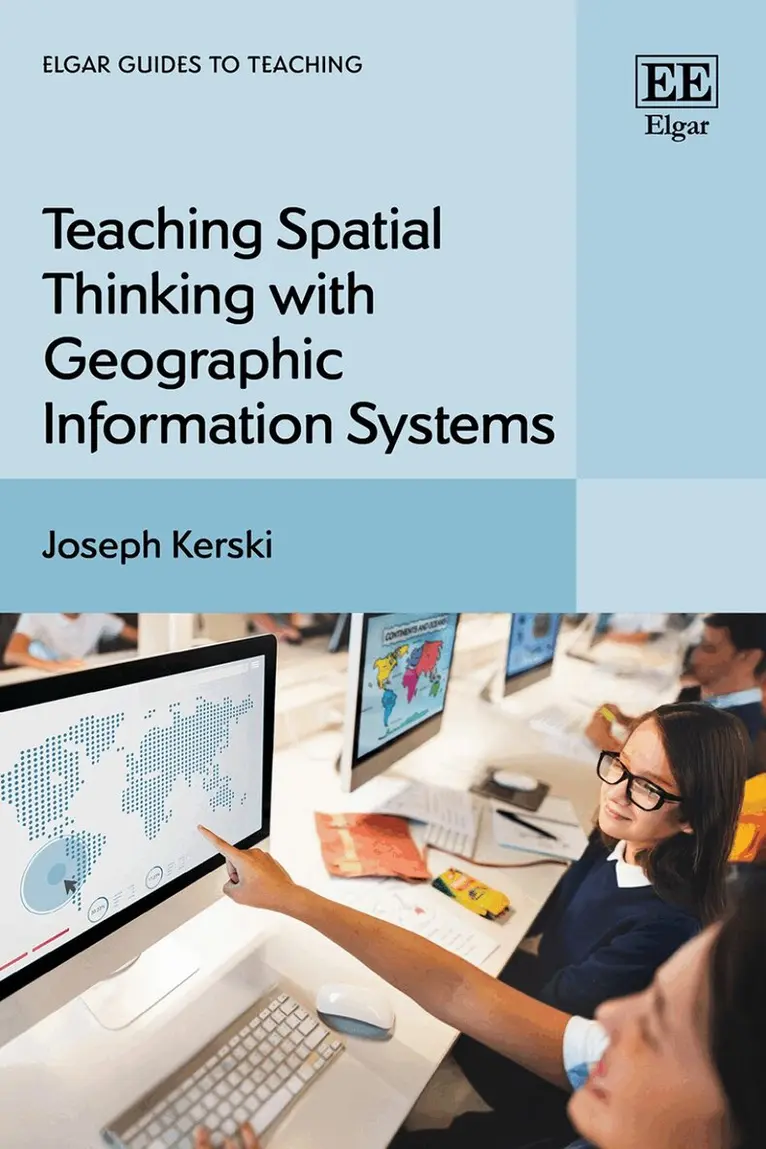
Teaching Spatial Thinking with Geographic Information Systems
2085 kr
Beställningsvara. Skickas inom 5-8 vardagar. Fri frakt över 249 kr.
Beskrivning
This book focuses on the whys of where, transcending disciplinary boundaries and offering over 100 practical hands-on lessons in teaching spatial thinking through interactive maps made with Geographic Information Systems (GIS).Using foundations in educational research and the UN Sustainable Development Goals (SDGs), the included tools and methods cover scales from local to global, building skills in analysis, data fluency, and communication that are increasingly valued in our interconnected world. Joseph Kerski illustrates a holistic approach to examining problems and taking action, covering key topics including cultural studies, population change, natural resources, environmental justice, natural hazards, and other critical topics. Chapters further include approaches on how to collect, map and analyse the findings of student investigation.The insightful methods of teaching in this book gives scholars and academics in a variety of fields such Geography, GIS, environmental studies, ethics, geoscience, as well as sociology and business, the tools to provide students with a more engaging and interdisciplinary learning process.
Produktinformation
- Utgivningsdatum: 2026-08-28
- Mått: 169 x 244 x undefined mm
- Format: Inbunden
- Språk: Engelska
- Serie: Elgar Guides to Teaching
- Förlag: Edward Elgar Publishing Ltd
- ISBN: 9781035302260
Utforska kategorier
Betyg & recensioner
0 recensioner
Inga recensioner tillgängliga.