E-bok, Engelska, 2018
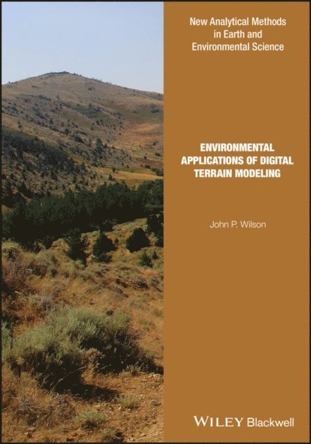
Environmental Applications of Digital Terrain Modeling
1881 kr
Läs direkt i Bokus Reader – eller ladda ned till din enhet (PDF kräver ofta zoom och scroll på små skärmar).
Beskrivning
A digital elevation model (DEM) is a digital representation of ground surface topography or terrain. It is also widely known as a digital terrain model (DTM). A DEM can be represented as a raster (a grid of squares) or as a vector based triangular irregular network (TIN). DEMs are commonly built using remote sensing techniques, but they may also be built from land surveying. DEMs are used often in geographic information systems, and are the most common basis for digitally-produced relief maps. The terrain surface can be described as compromising of two different elements; random and systematic. The random (stochastic) elements are the continuous surfaces with continuously varying relief. It would take an endless number of points to describe exactly the random terrain shapes, but these can be described in practice with a network of point. It is usual to use a network that creates sloping triangles or regular quadrants.
This book examines how the methods and data sources used to generate DEMs and calculate land surface parameters have changed over the past 25 years. The primary goal is to describe the state-of-the-art for a typical digital terrain modeling workflow that starts with data capture, continues with data preprocessing and DEM generation, and concludes with the calculation of one or more primary and secondary land surface parameters. Taken as a whole, this book covers the basic theory behind the methods, the instrumentation, analysis and interpretation that are embedded in the modern digital terrain modeling workflow, the strengths and weaknesses of the various methods that the terrain analyst must choose among, typical applications of the results emanating from these terrain modeling workflows, and future directions.
This book is intended for researchers and practitioners who wish to use DEMs, land surface parameters, land surface objects and landforms in environmental projects. The book will also be valuable as a reference text for environmental scientists who are specialists in related fields and wish to integrate these kinds of digital terrain workflows and outputs into their own specialized work environments.
Produktinformation
- Utgivningsdatum: 2018-02-15
- Språk: Engelska
- Filformat: PDF
- Kopieringsskydd: LCP
- ISBN: 9781118936207
- Förlag: Wiley
Utforska kategorier
Betyg & recensioner
0 recensioner
Inga recensioner tillgängliga.