• Fri frakt över 249 kr
  • •
  • Snabba leveranser
  • •
  • Billiga böcker
Kundservice

Du är på sajten för privatpersoner.

Företag, bibliotek eller offentlig verksamhet?

Du handlar på classic.bokus.com, där alla dina funktioner finns intakta.
Till classic.bokus.com
Bokus logotyp. Gå till startsidan.
  • Erbjudanden
  • Nyheter
  • Student
  • Topplistor
  • Barn & ungdom
  • Bokus Play
  • E-böcker
  • Pocketböcker
  • Spel & pussel

10% rabatt på allt med kod: NYSTART10 →

Sidfot

Mina sidor

    Hjälp

    • Kundservice
    • Vanliga frågor och svar
    • Frakt och leverans
    • Retur vid ångerrätt
    • Reklamera vara
    • Betalning
    • Köpvillkor
    • Allmänna villkor
    • Information om webbplatsens tillgänglighet

    Om Bokus

    • Om oss
    • Pressrum
    • För studenter
    • För företag
    • För bibliotek och offentlig verksamhet
    • För leverantörer
    • Hållbarhet

    Populärt

    • Aktuella erbjudanden
    • Presentkort
    • Studentlitteratur
    • Nya böcker
    • Topplistor
    • Signerade böcker
    • Engelska böcker

    Inspiration

    • Boktips
    • BookTok
    • Populära bokserier
    • Barnbokskaraktärer
    • Populära författare
    Logotyp för Bokus
    Följ oss på Facebook (extern länk)Följ oss på Instagram (extern länk)Följ oss på YouTube (extern länk)Följ oss på TikTok (extern länk)
    bokus @ CookiesAnpassa cookiesIntegritetspolicyKöpvillkor
    Till Citymail hemsida (extern länk)Till Budbee hemsida (extern länk)Till Postnord hemsida (extern länk)Till Schenker hemsida (extern länk)Till Early Bird hemsida (extern länk)Till Walleys hemsida (extern länk)
    1. Naturvetenskap och teknik
    2. Geovetenskap
    3. Geografi

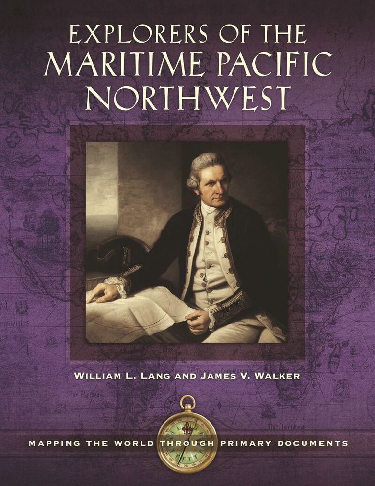
    Explorers of the Maritime Pacific Northwest

    Mapping the World through Primary Documents

    AvWilliam L. Lang Ph.D.,James V. Walker

    Inbunden, Engelska, 2016

    Del i serien Mapping the World through Primary Documents

    1 533 kr

    Beställningsvara. Skickas inom 10-15 vardagar. Fri frakt över 249 kr.

    Fler format och utgåvor

    E-bok

    1 710 kr

    E-bok

    1 710 kr

    Beskrivning

    Covering the adventures of coastal and ocean explorers who made key discoveries and landmark observations from northern California up the coastline to Alaska during the mid-1700s to the early 1800s, this anthology of primary source journal entries, book excerpts, maps, and drawings enables readers to "discover" the Northwest Coast for themselves.More than 200 years ago, explorers traveled from Central America, Russia, and even Europe to explore the coastline of the American Pacific Northwest, with goals of developing new trade routes, claiming territory for their home countries, expanding their fur trade, or exploring in the name of scientific discovery. This book will take readers to the decks of the great ships and along for the adventures of legendary explorers, such as James Cook, Alejandro Malaspina, and George Vancouver.This book collects primary source materials such as journal entries, book excerpts, maps, and drawings that document how explorers first experienced the unknown Pacific Northwest coast, as seen through the eyes of non-native people. Readers will learn how explorers such as Vitus Bering and Robert Gray used the full extent of their powers of observation to record the landscape, animals, and plants they witnessed as well as their interactions with indigenous peoples during their search for the mythic Northwest Passage. The book also explains how the maritime explorers of this period mapped the remote regions of the Northwest Coast, working without the benefit of modern technology and relying instead on their knowledge of a range of sciences, mathematics, and seamanship—in addition to their ability to endure harsh and dangerous conditions—to produce exceptionally detailed maps.

    Produktinformation

    • Utgivningsdatum:2016-05-09
    • Mått:216 x 279 x 22 mm
    • Vikt:1 247 g
    • Format:Inbunden
    • Språk:Engelska
    • Serie:Mapping the World through Primary Documents
    • Antal sidor:336
    • Förlag:Bloomsbury Publishing Plc
    • ISBN:9781610699259

    Utforska kategorier

    • Geografi inom Naturvetenskap och teknik

    Mer om författaren

    William L. Lang is professor emeritus of history at Portland State University and founding editor of The Oregon Encyclopedia.James V. Walker is a retired physician and map collector living in Eugene, OR, with research interests focusing on the Pacific Northwest and early 19th-century Trans-Mississippi West material.

    Recensioner i media

    This is a well-crafted book, written in a manner suitable for both a young novice student and a more seasoned researcher. The material offered is well-vetted. . . . This work is one that can prove valuable to any reference collection.

    Innehållsförteckning

    • PrefaceIntroductionSelected ChronologyChapter 1: Sebastián Vizcaíno, Expedition to California, 1602–16031. A Port for the Manila Galleon, 15852. Viceroy Conde de Monterrey's Sailing Orders, 16023. At the Port of Acapulco, 16024. Scurvy Interrupts the Voyage, 16035. Navigating with the Bolaños Derrotero, 16036. Rio de MartÍn Aguilar, 16037. Port of Monterey, 16038. California as an Island, 16259. Coastal Chart of the Vizcaíno Voyage, 1802Chapter 2: Vitus Bering and Aleksei Chirikov, Second Kamchatka Expedition, 1733–174310. Joseph Delisle Map, 173311. Orders from the Empress Anna, 173212. Imperial Ambitions, 1732, 173413. Reports from Kamchatka, 174214. Georg Stellar on Bering Island, 174315. Tragic Cost of Scurvy, 174116. Social Costs of Natives of Kamchatka, 174317. Joseph Delisle's Map of New Discoveries, 175218. Gerhard Müller's Attack on Delisle, 175419. The Russian Map, 1754Chapter 3: Juan Francisco de la Bodega y Quadra and Bruno de Hezeta, Second Bucareli Expedition, 177520. Defense of Empire, 175721. Viceroy Antonio Bucareli's Orders, 1775 (1773)22. Shipboard Conditions, 177523. Hazards of Navigation, 177524. Ceremonies of Possession, 177425. Bruno Hezeta's Map of the Columbia River, 177526. Ayala in San Francisco Bay, 177527. Human Cost and First Encounters, 177528. Bruno Hezeta's Coastal Map, 177529. Rare Publicized Reports, 1776, 1781Chapter 4: James Cook, First British Foray to the Northwest Coast, 177830. Secret Instructions from the Admiralty, 177631. On the Oregon Coast, 177832. Ship Repairs at Nootka Sound, 177833. Buying Nature at Nootka Sound, 177834. Native Art, 177835. Looking for the Northwest Passage, 177836. At the Bering Strait on the Edge of the Continent, 177837. Meeting the Russians, 177838. Death of Cook, 177939. Cook's Great Chart, 1784Chapter 5: Fur Traders, Commerce, and Cartography, 1785–179240. George Dixon's Discoveries in the Pacific Northwest, 178741. John Kendrick's Land Purchases, 179142. John Meares and the Nootka Sound Controversy, 179043. John Meares's Orders to Explore New Markets, 178844. A Conniving Letter to Joseph Banks, 178845. Alexander Dalrymple's Fur Trade Plan, 178946. Tragic Human Costs of Pursuing Furs, 178747. James Hanna's Conflict with Natives, 178548. John Meares's Map, 179049. Aaron Arrowsmith's Map of the Northwest Coast, 1790Chapter 6: Jean-François de Galaup, Comte de La Pérouse, Following Cook, 1785–178850. The King's Instructions, 178551. Sighting the Northwest Coast, 178652. Map of Port des Français, 179753. Lituya Bay Tragedy, 178654. The Tlingit Narrative of the Lituya Tragedy, 188655. Tlingit Trade Exchange, 178656. La Pérouse's Map of the Northwest Coast, 179757. Macao Trade Protocols, 178758. Uncertain Remedies for Scurvy, 1788Chapter 7: Alejandro Malaspina, Spanish Enlightenment on the Northwest Coast, 1788–179159. Malaspina's Plan for a Circumnavigation, 178860. In Search of the Strait of Anian, 178961. Malaspina and Bustamante at Acapulco, 179162. Strait of Anian Investigations, 179163. Port Mulgrave Map, 180264. With the Tlingit at Port Mulgrave, 179165. Speculations on the Peopling of America, 179166. A Plan of the Friendly Harbor, 180267. Malaspina at Nootka Sound, 179168. Malaspina and Political Tragedy, 1794–1803Chapter 8: George Vancouver, the Great Survey of the Northwest Coast, 1791–179569. Letter of Instruction to George Vancouver, 179170. First Contact with Northwest Natives, 179271. Near-Conflict in Puget Sound, 179272. Sounding and Surveying Puget Sound, 179273. Negotiating the Nootka Convention, 179274. Maquinna's Feast at Tahsis, 179275. Menzies at Friendly Cove, 179276. Broughton's Map of the Columbia River, 179877. Vancouver's Great Map of the Coast, 179878. The Public Humiliation of George Vancouver, 1795–1798Chapter 9: Robert Gray, First American Commercial Northwest Coast Voyages, 1787–179379. The Partners' Instructions for the First Voyage, 178780. Kendrick's Sailing Instructions, 178881. At Murderers Harbor, 178882. Gray Takes Command of the Columbia, 178983. The Partners' Instructions for the Second Voyage, 179084. At Clayoquot Sound, 179285. Conflict at Gray's Harbor, 179286. Gray on the Columbia River, 179287. Gray's Columbia River Sketch, May 1792Chapter 10: Dionisio Alcalá Galiano, Exploration of the Strait of Juan de Fuca, 179288. In Search of Spanish Dominion in the Strait of Juan de Fuca, 179289. Search for the Northwest Passage, 179290. Malaspina's and Revillagigedo's Orders to Galiano, 1791, 179291. Tetacus, Native of Vancouver Island, June 179292. Ship Manifests and Technology, 179293. The Importance to the Viceroy of Place-Names on Maps, 179394. Perils in the Strait of Juan de Fuca, July 179295. Exchange of Information between Galiano and Vancouver, June–July 179296. The Placement and Replacement of Place-Names, 179597. Coastal Map of Vizcaíno's Voyage, 1802Selected BibliographyIndex