E-bok, Engelska, 2016
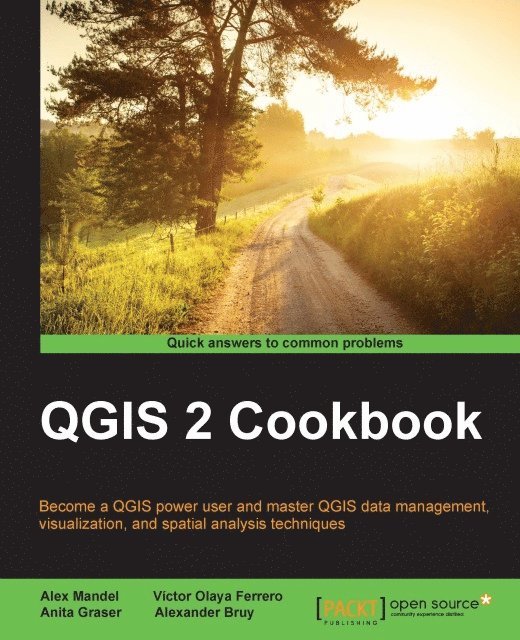
QGIS 2 Cookbook
Av Oleksandr Bruy, Anita Graser, Victor Olaya Ferrero, Alex Mandel
542 kr
Läs direkt i Bokus Reader – eller ladda ned till din enhet
Beskrivning
Become a QGIS power user and master QGIS data management, visualization, and spatial analysis techniques
Key Features
- [*]Explore and create time-based visualizations and build interactive maps
- [*]Maximize your use of the QGIS features, plugins and toolbox automation
- [*]Packed with lots of sample datasets to enable a better understanding of the code
Book Description
QGIS is a user-friendly, cross-platform desktop geographic information system used to make maps and analyze spatial data. QGIS allows users to understand, question, interpret, and visualize spatial data in many ways that reveal relationships, patterns, and trends in the form of maps. This book is a collection of simple to advanced techniques that are needed in everyday geospatial work, and shows how to accomplishthem with QGIS. You will begin by understanding the different types of data management techniques, as well as how data exploration works. You will then learn how to perform classic vector and raster analysis with QGIS, apart from creating time-based visualizations. Finally, you will learn how to create interactive and visually appealing maps with custom cartography. By the end of this book, you will have all the necessaryknowledge to handle spatial data management, exploration, and visualization tasks in QGIS.What you will learn
- [*]Import and export common tricky spatial data formats
- [*]Perform classic vector and raster analysis with QGIS
- [*]Utilize spatial databases and data management tools
- [*]Use and create geographic web services and maps
- [*]Explore and create time-based visualizations
- [*]Perform network building and routing analysis
- [*]Extend QGIS capabilities with popular plugins and toolbox automation
- [*]Make beautiful and unique maps with customized cartography
Who this book is for
If you are an intermediate GIS user, with either previous experience in QGIS or any other GIS application, this is the book for you. The recipes can be used to learn more advanced techniques in QGIS or to replicate the functionalities equivalent to other GIS platforms. This book assumes that you already have a working QGIS system in place.
Produktinformation
- Utgivningsdatum: 2016-04-29
- Språk: Engelska
- Filformat: EPUB
- Kopieringsskydd: LCP
- ISBN: 9781783984978
- Förlag: Packt Publishing
Utforska kategorier
- Inga kategorier tillgängliga.
Betyg & recensioner
0 recensioner
Inga recensioner tillgängliga.