• Fri frakt över 249 kr
  • •
  • Snabba leveranser
  • •
  • Billiga böcker
Kundservice

Du är på sajten för privatpersoner.

Företag, bibliotek eller offentlig verksamhet?

Du handlar på classic.bokus.com, där alla dina funktioner finns intakta.
Till classic.bokus.com
Bokus logotyp. Gå till startsidan.
  • Erbjudanden
  • Nyheter
  • Student
  • Topplistor
  • Barn & ungdom
  • Bokus Play
  • E-böcker
  • Pocketböcker
  • Spel & pussel

10% rabatt på allt med kod NYSTART10 →

Sidfot

Mina sidor

    Hjälp

    • Kundservice
    • Vanliga frågor och svar
    • Frakt och leverans
    • Retur vid ångerrätt
    • Reklamera vara
    • Betalning
    • Köpvillkor
    • Allmänna villkor
    • Information om webbplatsens tillgänglighet

    Om Bokus

    • Om oss
    • Pressrum
    • För studenter
    • För företag
    • För bibliotek och offentlig verksamhet
    • För leverantörer
    • Hållbarhet

    Populärt

    • Aktuella erbjudanden
    • Presentkort
    • Studentlitteratur
    • Nya böcker
    • Topplistor
    • Signerade böcker
    • Engelska böcker

    Inspiration

    • Boktips
    • BookTok
    • Populära bokserier
    • Barnbokskaraktärer
    • Populära författare
    Logotyp för Bokus
    Följ oss på Facebook (extern länk)Följ oss på Instagram (extern länk)Följ oss på YouTube (extern länk)Följ oss på TikTok (extern länk)
    bokus @ CookiesAnpassa cookiesIntegritetspolicyKöpvillkor
    Till Citymail hemsida (extern länk)Till Budbee hemsida (extern länk)Till Postnord hemsida (extern länk)Till Schenker hemsida (extern länk)Till Early Bird hemsida (extern länk)Till Walleys hemsida (extern länk)
    1. Naturvetenskap och teknik
    2. Geovetenskap
    3. Miljövetenskap och miljöpolitik

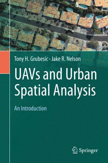
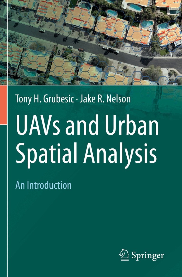
    UAVs and Urban Spatial Analysis

    An Introduction

    AvTony H. Grubesic,Jake R. Nelson

    Inbunden, Engelska, 2020

    1 947 kr

    Beställningsvara. Skickas inom 10-15 vardagar. Fri frakt över 249 kr.

    Fler format och utgåvor

    Häftad

    1 947 kr

    Beskrivning

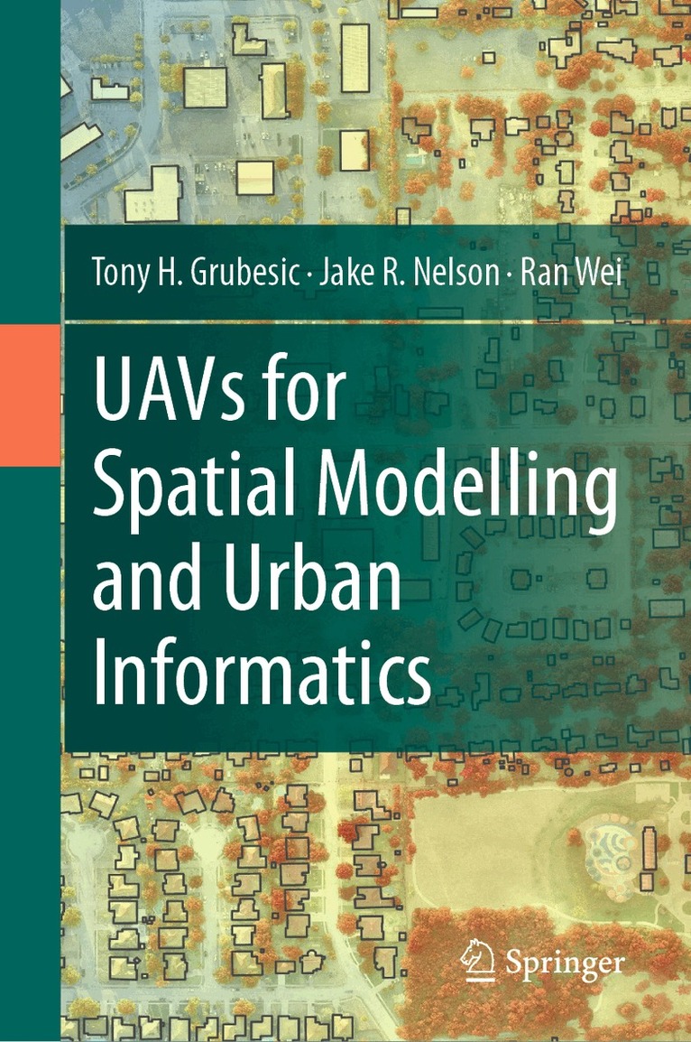
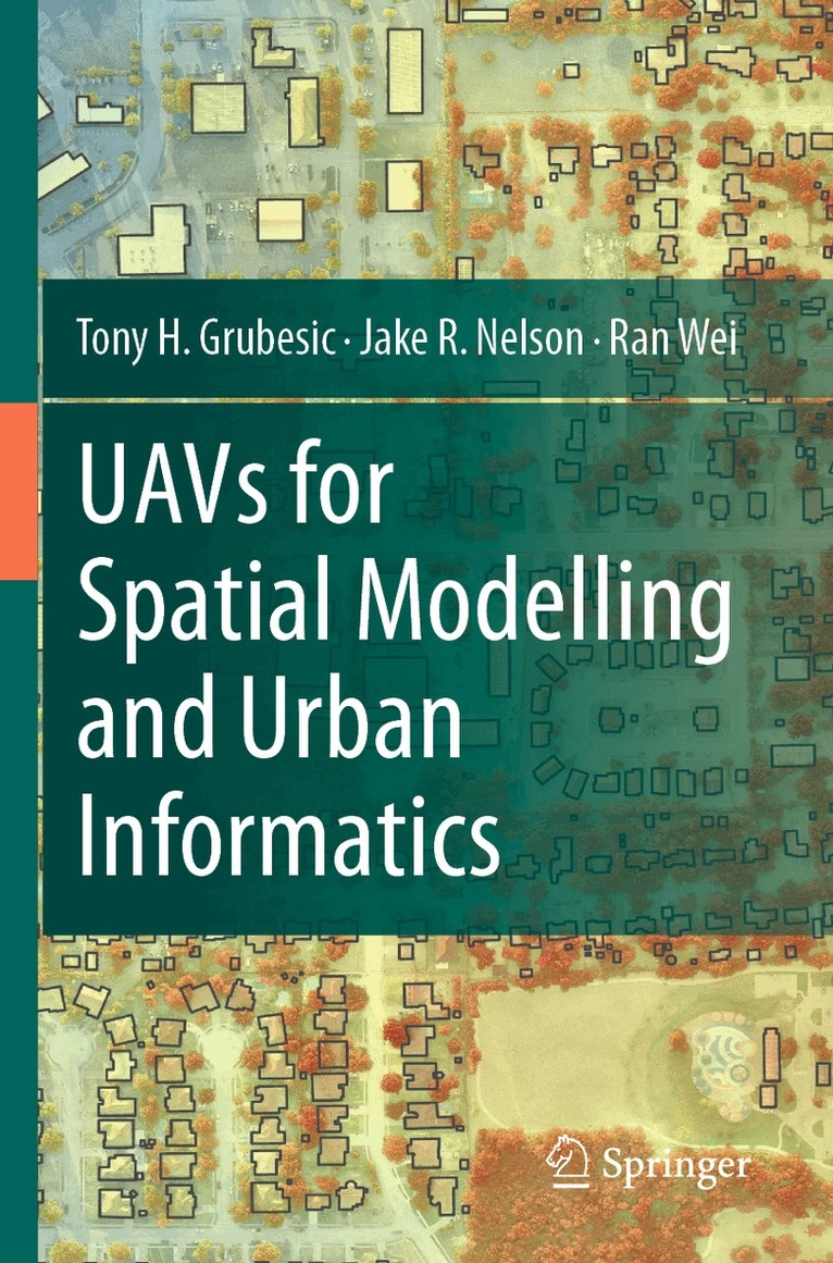
    This book provides an introduction to the use of unmanned aerial vehicles (UAVs) for the geographic observation and spatial analysis of urban areas. The velocity of urban change necessitates observation platforms that not only enhance situational awareness for planning and allied analytical efforts, but also provide the ability to rapidly and inexpensively collect data and monitor change. UAVs can accomplish both of these tasks, but their use in urban environments is loaded with social, operational, regulatory and technical challenges that must be addressed for successful deployments. The book provides a resource for educators and students who work with geographic information and are seeking to enhance these data with the use of unmanned aerial vehicles. Topics covered include, 1) a primer on UAVs and the many different ways they can be used for geographic observation, 2) a detailed overview on the use of aviation maps and charts for operating UAVs in complex urban airspace, 3) techniques for integrating UAV-derived data with more traditional geographic information, 4) application of spatial analytical tools for urban and environmental planning, and 5) an exploration of privacy and public safety issues associated with UAV operation.

    Produktinformation

    • Utgivningsdatum:2020-01-11
    • Mått:155 x 235 x 17 mm
    • Vikt:540 g
    • Format:Inbunden
    • Språk:Engelska
    • Antal sidor:206
    • Förlag:Springer Nature Switzerland AG
    • ISBN:9783030358648

    Utforska kategorier

    • Miljövetenskap och miljöpolitik inom Naturvetenskap och teknik
    • Byggnadsteknik inom Naturvetenskap och teknik
    • Geografi inom Naturvetenskap och teknik

    Mer om författaren

    Tony H. Grubesic is the Associate Dean for Research and Professor in the School of Information at the University of Texas at Austin, where he also directs the Geoinformatics & Policy Analytics Lab (GPAL). Author of over 160 research publications, his recent work focuses on unmanned aerial systems (UASs), community vulnerability, and the development of advanced geocomputational tools.  Grubesic is an FAA certified commercial drone pilot and holds a Ph.D. from Ohio State University. Jake R. Nelson is currently working in the Geoinformatics & Policy Analytics Lab at the University of Texas at Austin where his research focuses on the development and use of geospatial technologies for urban and environmental policy research. His past research covers a range of substantive areas, including the quantification of coastal vulnerability to offshore oil exploration, fisheries modeling, and the development of spatial decision support systems. Jake received his Ph.D. from Arizona State University in Public Administration and Policy and holds an M.S. and B.S. from Oregon State University.

    Innehållsförteckning

    • Chapter 1-Introduction to UAVs and urban spatial analysis.- Chapter 2-UAV platforms and implications for geographic observation.- Chapter 3-A primer on aeronautical charts and maps.- Chapter 4-Legal, environmental, operational and safety challenges in urban areas.- Chapter 5-UAVs and privacy.- Chapter 6-UAV data integration with geographic information systems.- Chapter 7-Application 1: remotely sensing physical disorder.- Chapter 8-Application 2: urban vegetation management.- Chapter 9-Application 3: disasters, pest control and emerging diseases.- Chapter 10-Application 4: water management for urban recreational areas.- Chapter 11-Application 5: structure from motion photogrammetry.- Chapter 12-UAVs and urban futures.