• Fri frakt över 249 kr
  • •
  • Snabba leveranser
  • •
  • Billiga böcker
Kundservice

Du är på sajten för privatpersoner.

Företag, bibliotek eller offentlig verksamhet?

Du handlar på classic.bokus.com, där alla dina funktioner finns intakta.
Till classic.bokus.com
Bokus logotyp. Gå till startsidan.
  • Erbjudanden
  • Student
  • Topplistor
  • Barn & ungdom
  • Bokus Play
  • E-böcker
  • Ljudböcker
  • Pocketböcker
  • Spel & pussel

10% rabatt på allt med kod NYSTART10 →

Sidfot

Mina sidor

    Hjälp

    • Kundservice
    • Vanliga frågor och svar
    • Frakt och leverans
    • Retur vid ångerrätt
    • Reklamera vara
    • Betalning
    • Köpvillkor
    • Allmänna villkor
    • Information om webbplatsens tillgänglighet

    Om Bokus

    • Om oss
    • Pressrum
    • För studenter
    • För företag
    • För bibliotek och offentlig verksamhet
    • För leverantörer
    • Hållbarhet

    Populärt

    • Aktuella erbjudanden
    • Presentkort
    • Studentlitteratur
    • Nya böcker
    • Topplistor
    • Signerade böcker
    • Engelska böcker

    Inspiration

    • Boktips
    • BookTok
    • Populära bokserier
    • Barnbokskaraktärer
    • Populära författare
    Logotyp för Bokus
    Följ oss på Facebook (extern länk)Följ oss på Instagram (extern länk)Följ oss på YouTube (extern länk)Följ oss på TikTok (extern länk)
    bokus @ CookiesAnpassa cookiesIntegritetspolicyKöpvillkor
    Till Citymail hemsida (extern länk)Till Budbee hemsida (extern länk)Till Postnord hemsida (extern länk)Till Schenker hemsida (extern länk)Till Early Bird hemsida (extern länk)Till Walleys hemsida (extern länk)
    1. Data och IT
    2. Systemvetenskap och AI

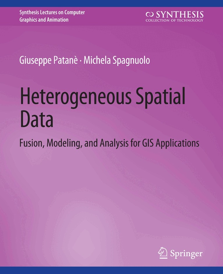
    Heterogeneous Spatial Data

    Fusion, Modeling, and Analysis for GIS Applications

    AvGiuseppe Patanè,Michela Spagnuolo

    Häftad, Engelska, 2016

    Del i serien Synthesis Lectures on Visual Computing: Computer Graphics, Animation, Computational Photography and Imaging

    492 kr

    Beställningsvara. Skickas inom 10-15 vardagar. Fri frakt över 249 kr.

    Beskrivning

    New data acquisition techniques are emerging and are providing fast and efficient means for multidimensional spatial data collection. Airborne LIDAR surveys, SAR satellites, stereo-photogrammetry and mobile mapping systems are increasingly used for the digital reconstruction of the environment. All these systems provide extremely high volumes of raw data, often enriched with other sensor data (e.g., beam intensity). Improving methods to process and visually analyze this massive amount of geospatial and user-generated data is crucial to increase the efficiency of organizations and to better manage societal challenges. Within this context, this book proposes an up-to-date view of computational methods and tools for spatio-temporal data fusion, multivariate surface generation, and feature extraction, along with their main applications for surface approximation and rainfall analysis. The book is intended to attract interest from different fields, such as computer vision, computer graphics,geomatics, and remote sensing, working on the common goal of processing 3D data. To this end, it presents and compares methods that process and analyze the massive amount of geospatial data in order to support better management of societal challenges through more timely and better decision making, independent of a specific data modeling paradigm (e.g., 2D vector data, regular grids or 3D point clouds). We also show how current research is developing from the traditional layered approach, adopted by most GIS softwares, to intelligent methods for integrating existing data sets that might contain important information on a geographical area and environmental phenomenon. These services combine traditional map-oriented visualization with fully 3D visual decision support methods and exploit semantics-oriented information (e.g., a-priori knowledge, annotations, segmentations) when processing, merging, and integrating big pre-existing data sets.

    Produktinformation

    • Utgivningsdatum:2016-04-29
    • Mått:191 x 235 x 9 mm
    • Vikt:305 g
    • Format:Häftad
    • Språk:Engelska
    • Serie:Synthesis Lectures on Visual Computing: Computer Graphics, Animation, Computational Photography and Imaging
    • Antal sidor:129
    • Förlag:Springer International Publishing AG
    • ISBN:9783031014611
    • Originaltitel:Heterogeneous Spatial Data

    Utforska kategorier

    • Systemvetenskap och AI inom Data och IT
    • Matematik inom Naturvetenskap och teknik

    Mer om författaren

    Giuseppe Patane is a researcher at CNR-IMATI (2006-today) Institute for Applied Mathematics and Information Technologies-Italian National Research Council. Since 2001, his research activities have been focused on the definition of paradigms and algorithms for modeling and analyzing digital shapes and multidimensional data. He received a Ph.D. in Mathematics and Applications from the University of Genova (2005) and a Post-Lauream Degree Master in Applications of Mathematics to Industry from the F. Severi National Institute for Advanced Mathematics, Department of Mathematics and Applications-University of Milan (2000).Michela Spagnuolo is the Research Director at CNR-IMATI-GE, where she has been working since July 2001. Her research interests include geometric and semantic modeling of 3D objects, approaches based on computational topology for the analysis of shapes, and methods for the evaluation of similarity at the structural and semantic level. She authored more than 130 reviewed papers in scientific journals and international conferences, and is an associate editor of international journals in computer graphics (currently, The Visual Computer and Computers & Graphics). She actively works as chair of conferences and workshops, and she is a member of the steering committee of Shape Modeling International and of the EG Workshops on 3D Object Retrieval. In 2014, she was nominated as Fellow of the Eurographics Association.

    Innehållsförteckning

    • List of Figures.- List of Tables.- Preface.- Acknowledgments.- Spatio-temporal Data Fusion.- Spatial and Environmental Data Approximation.- Feature Extraction.- Applications to Surface Approximation and Rainfall Analysis.- Conclusions.- Bibliography.- Authors' Biographies.