• Fri frakt över 249 kr
  • •
  • Snabba leveranser
  • •
  • Billiga böcker
Kundservice

Du är på sajten för privatpersoner.

Företag, bibliotek eller offentlig verksamhet?

Du handlar på classic.bokus.com, där alla dina funktioner finns intakta.
Till classic.bokus.com
Bokus logotyp. Gå till startsidan.
  • Erbjudanden
  • Nyheter
  • Student
  • Topplistor
  • Barn & ungdom
  • Bokus Play
  • E-böcker
  • Pocketböcker
  • Spel & pussel

10% rabatt på allt med kod NYSTART10 →

Sidfot

Mina sidor

    Hjälp

    • Kundservice
    • Vanliga frågor och svar
    • Frakt och leverans
    • Retur vid ångerrätt
    • Reklamera vara
    • Betalning
    • Köpvillkor
    • Allmänna villkor
    • Information om webbplatsens tillgänglighet

    Om Bokus

    • Om oss
    • Pressrum
    • För studenter
    • För företag
    • För bibliotek och offentlig verksamhet
    • För leverantörer
    • Hållbarhet

    Populärt

    • Aktuella erbjudanden
    • Presentkort
    • Studentlitteratur
    • Nya böcker
    • Topplistor
    • Signerade böcker
    • Engelska böcker

    Inspiration

    • Boktips
    • BookTok
    • Populära bokserier
    • Barnbokskaraktärer
    • Populära författare
    Logotyp för Bokus
    Följ oss på Facebook (extern länk)Följ oss på Instagram (extern länk)Följ oss på YouTube (extern länk)Följ oss på TikTok (extern länk)
    bokus @ CookiesAnpassa cookiesIntegritetspolicyKöpvillkor
    Till Citymail hemsida (extern länk)Till Budbee hemsida (extern länk)Till Postnord hemsida (extern länk)Till Schenker hemsida (extern länk)Till Early Bird hemsida (extern länk)Till Walleys hemsida (extern länk)
    1. Naturvetenskap och teknik
    2. Geovetenskap
    3. Geografi

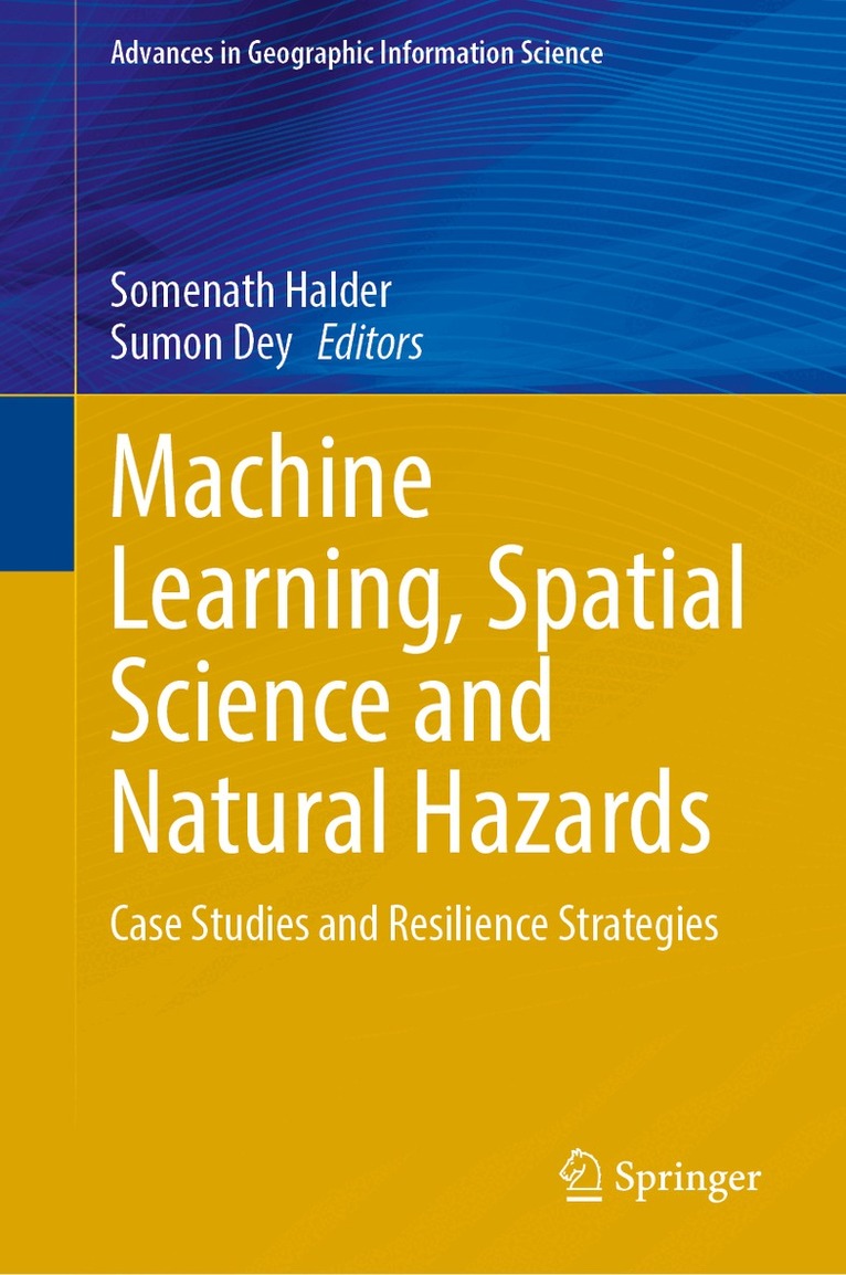
    Machine Learning, Spatial Science and Natural Hazards

    Case Studies and Resilience Strategies

    AvSomenath Halder,Sumon Dey

    Inbunden, Engelska, 2026

    Del i serien Advances in Geographic Information Science

    2 990 kr

    Kommande

    Beskrivning

    This contributed volume examines how machine learning (ML) and artificial intelligence (AI) are being used in hazard science, environmental management, and related policy studies. It brings together work that combines model-based outputs with ground-level data to study risk, monitoring, and decision-making across disciplines. The chapters here address natural hazard management, including fluvial and landslide processes, vegetation–erosion dynamics, air quality, forest fires, and coastal hazards. Watershed assessment, flood and erosion zonation, and approaches to regional and global monitoring using advanced datasets and models are also covered. Furthermore, the book  explores links between environmental change, resource use, and social inequality, with attention to applications at multiple spatial scales. Contributions draw on remote sensing, GIS, and statistical analysis to quantify environmental processes and assess policy responses. Case studies illustrate how these tools are applied in different contexts, alongside discussions of data integration and methodological design. The volume includes both theoretical and empirical work, offering perspectives on how ML- and AI-based approaches can be incorporated into research and practice.

    Produktinformation

    • Utgivningsdatum:2026-11-17
    • Mått:155 x 235 x undefined mm
    • Format:Inbunden
    • Språk:Engelska
    • Serie:Advances in Geographic Information Science
    • Antal sidor:370
    • Förlag:Springer Nature Switzerland AG
    • ISBN:9783032295880

    Utforska kategorier

    • Geografi inom Naturvetenskap och teknik
    • Miljövetenskap och miljöpolitik inom Naturvetenskap och teknik
    • Systemvetenskap och AI inom Data och IT

    Mer om författaren

    Dr. Somenath Halder is an Assistant Professor at the Department of Geography in Kaliachak College, University of Gour Banga, West Bengal, India. He has completed his PG from Department of Geography and Applied Geography, University of North Bengal, India, and PhD from Department of Geography, Visva-Bharati, India. Dr. Halder’s field of interest includes multi-dimensional data modeling connecting to socio-political agenda, conflicting issues with laws and ecology, community practices, crisis management, spatio-temporal analysis, environmental management, policy science, climate change, watershed management, hydrological modeling, geospatial data analysis, and GIS applications with more than 15 academic years of experience. Dr. Halder has published more than 48 research articles in peer-reviewed reputed journals. Meanwhile, he performs his academic endeavor as peer-reviewer in number of Scopus and Web of Science indexed prestigious journals like, Modeling Earth System and Environment, Journal of Environment, Development and Sustainability, Internal Journal of Geoheritage and Parks, GeoJournal, South Asian Survey, Research in Globalization, Current Psychology, Sage Open, and may more. Recently Dr. Halder published an edited book entitled Advancement of GI-Science and Sustainable Agriculture: A Multi-Dimensional Approach, New Advancements in Geomorphological Research: Issues & Challenges in Quantitative Spatial Science, and Progress in Multicriteria Decision Making Models: A New Paradigm to hazard Monitoring jointly with Dr. Jayanta Das from Springer Nature. Dr. Sumon Dey is an Assistant Professor (Scale-I) at the Department of Computer Applications in Sikkim Manipal Institute of Technology, Sikkim Manipal University, Sikkim, India. He has completed his Postgraduate and PhD degrees from the Department of Computer Science and Technology at the University of North Bengal, India. Dr. Dey’s PhD thesis covers the broader theme of Landslide Susceptibility Assessment and Zonation in the Darjeeling Himalayan Region using RS-GIS and Machine Learning-based Techniques. His research interests include disaster susceptibility assessment and mapping, optimization techniques, statistical modeling, ensemble learning, explainable artificial intelligence, and remote sensing and geographic information systems, with more than 6 years of academic experience. Dr. Sumon Dey has published several scholarly articles in international journals of repute (indexed in Science Citation Index Expanded and Scopus) and book chapters (indexed in Scopus), focusing mainly on landslide susceptibility zonation and mapping in the Eastern Himalayas and the Western Ghats.

    Innehållsförteckning

    • Role of machine learning in modern spatial science: an introductory discussion.-ethical considerations in ai-generated data for modern spatial sciences: risks, accountability, and governance in geo-ai-driven geomorphological and hazard mapping.-A review study of application of machine learning (ml) and deep learning (dl) techniques in landslide prediction in north east india.- A systematic review of rainfall prediction technique for tripura: advance in machine learning and climatic trend analysis.- Landslide susceptibility mapping using machine learning and deep learning techniques in north-east india: a guiding literature.- Geospatial machine learning for watershed risk intelligence: an unsupervised multi-algorithm approach to flood, erosion, and recharge zonation in himalayan foothill sub-basins of the ramganga river, india.-machine learning based long-term vegetation dynamics evaluation in response to climatic variable stress using cloud based geospatial tool in eastern india.-landslide susceptibility mapping using ann and svm machine learning models in the dima hasao district of assam, eastern himalayas, india.-ensemble machine learning for flood susceptibility mapping in the teesta river basin: performance and insights.- Data-driven flood susceptibility mapping of chadpur, comilla, feni, lakshmipur, noakhali: machine learning as a tool for climate resilience.- Metaheuristic whale optimization-based novel ensembled meta-learner for landslide susceptibility prediction: a study in parts of eastern himalayas, india.- A data driven framework for landslide susceptibility modeling and spatial prediction in parts of western ghats, india.-geo-ai based landslide susceptibility assessment in kalimpong district, west bengal, india.- Acomparative exploration of machine learning ensembles for air quality prediction.- Evolving methodological transformations in landslide susceptibility assessment: transitioning from multi-criteria decision making and statistical to data-driven machine learning frameworks.-comprehending teesta flood susceptibility: a boruta-driven comparative.- Integrated approaches to forest-fire dynamics and susceptibility mapping for community-based management in north-east india.- Landslide vulnerability zonation and mapping in darjeeling himalayan region: a modified bi-variate statistical methodology.-Novel hybrid framework combining analytic hierarchy process, weight of evidence, and light gradient boosting machines for spatial landslide susceptibility mapping: a case study in darjeeling district, west bengal, india.- Bridging the gap of digital divide in geospatial ai in the age of spatial intelligence.- Machine learning and geospatial ai for natural hazard resilience.