• Fri frakt över 249 kr
  • •
  • Snabba leveranser
  • •
  • Billiga böcker
Kundservice

Du är på sajten för privatpersoner.

Företag, bibliotek eller offentlig verksamhet?

Du handlar på classic.bokus.com, där alla dina funktioner finns intakta.
Till classic.bokus.com
Bokus logotyp. Gå till startsidan.
  • Erbjudanden
  • Student
  • Topplistor
  • Barn & ungdom
  • Bokus Play
  • E-böcker
  • Ljudböcker
  • Pocketböcker
  • Spel & pussel

10% rabatt på allt med kod NYSTART10 →

Sidfot

Mina sidor

    Hjälp

    • Kundservice
    • Vanliga frågor och svar
    • Frakt och leverans
    • Retur vid ångerrätt
    • Reklamera vara
    • Betalning
    • Köpvillkor
    • Allmänna villkor
    • Information om webbplatsens tillgänglighet

    Om Bokus

    • Om oss
    • Pressrum
    • För studenter
    • För företag
    • För bibliotek och offentlig verksamhet
    • För leverantörer
    • Hållbarhet

    Populärt

    • Aktuella erbjudanden
    • Presentkort
    • Studentlitteratur
    • Nya böcker
    • Topplistor
    • Signerade böcker
    • Engelska böcker

    Inspiration

    • Boktips
    • BookTok
    • Populära bokserier
    • Barnbokskaraktärer
    • Populära författare
    Logotyp för Bokus
    Följ oss på Facebook (extern länk)Följ oss på Instagram (extern länk)Följ oss på YouTube (extern länk)Följ oss på TikTok (extern länk)
    bokus @ CookiesAnpassa cookiesIntegritetspolicyKöpvillkor
    Till Citymail hemsida (extern länk)Till Budbee hemsida (extern länk)Till Postnord hemsida (extern länk)Till Schenker hemsida (extern länk)Till Early Bird hemsida (extern länk)Till Walleys hemsida (extern länk)
    1. Historia och arkeologi
    2. Historia
    3. Historia: teori och metod
    • Nyhet

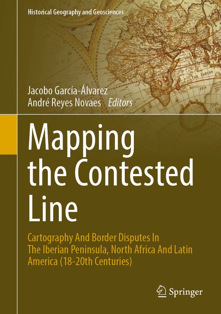
    Mapping the Contested Line

    Cartography and Border Disputes in the Iberian Peninsula, North Africa and Latin America (18–20th Centuries)

    AvJacobo García-Álvarez,André Reyes Novaes

    Inbunden, Engelska, 2026

    Del i serien Historical Geography and Geosciences

    1 560 kr

    Beställningsvara. Skickas inom 10-15 vardagar. Fri frakt över 249 kr.

    Beskrivning

    This book brings together eight contributions on the relationships between cartography and border disputes, using map history to frame the construction of nation-states and colonial territories in the Iberian Peninsula, North Africa and Latin America from the 18th to the 20th century. Written by scholars from Spain, France, Portugal, Argentina, Uruguay and Brazil, the essay is divided into two main parts. Part I (Chapters 2 to 5) focuses on the use and contribution of maps to the processes of negotiation and boundary fixation on disputed borders, both in diplomatic forums and in the materialisation of the border on the ground, whereas Part II (Chapters 6 to 8) delves into the circulation of maps used by boundary commissions, as well as into how the political purposes of cartography and the audiences to whom maps were addressed and communicated conditioned the very representation of borders. In addition to these Parts, the introductory chapter provides an overview of recent scholarship about the links between maps and border disputes, both at a general level and in the countries and regions specifically considered in this volume. The book is addressed to a wide range of researchers, including geographers, historians, political scientists and specialists in geopolitics and the history of international relations.

    Produktinformation

    • Utgivningsdatum:2026-08-19
    • Mått:178 x 254 x undefined mm
    • Format:Inbunden
    • Språk:Engelska
    • Serie:Historical Geography and Geosciences
    • Antal sidor:162
    • Förlag:Springer Nature Switzerland AG
    • ISBN:9783032298881

    Utforska kategorier

    • Historia: teori och metod inom Historia och arkeologi
    • Geografi inom Naturvetenskap och teknik

    Innehållsförteckning

    • Contested Lines and Mapping Practices: An Introduction to the Relationships Between Cartography and Border Disputes in the Iberian Peninsula, North Africa and Latin America.- Negotiating and Fixing the Line.- Circulating and Communicating the Line.