• Fri frakt över 249 kr
  • •
  • Snabba leveranser
  • •
  • Billiga böcker
Kundservice

Du är på sajten för privatpersoner.

Företag, bibliotek eller offentlig verksamhet?

Du handlar på classic.bokus.com, där alla dina funktioner finns intakta.
Till classic.bokus.com
Bokus logotyp. Gå till startsidan.
  • Erbjudanden
  • Nyheter
  • Student
  • Topplistor
  • Barn & ungdom
  • Bokus Play
  • E-böcker
  • Pocketböcker
  • Spel & pussel

10% rabatt på allt med kod: NYSTART10 →

Sidfot

Mina sidor

    Hjälp

    • Kundservice
    • Vanliga frågor och svar
    • Frakt och leverans
    • Retur vid ångerrätt
    • Reklamera vara
    • Betalning
    • Köpvillkor
    • Allmänna villkor
    • Information om webbplatsens tillgänglighet

    Om Bokus

    • Om oss
    • Pressrum
    • För studenter
    • För företag
    • För bibliotek och offentlig verksamhet
    • För leverantörer
    • Hållbarhet

    Populärt

    • Aktuella erbjudanden
    • Presentkort
    • Studentlitteratur
    • Nya böcker
    • Topplistor
    • Signerade böcker
    • Engelska böcker

    Inspiration

    • Boktips
    • BookTok
    • Populära bokserier
    • Barnbokskaraktärer
    • Populära författare
    Logotyp för Bokus
    Följ oss på Facebook (extern länk)Följ oss på Instagram (extern länk)Följ oss på YouTube (extern länk)Följ oss på TikTok (extern länk)
    bokus @ CookiesAnpassa cookiesIntegritetspolicyKöpvillkor
    Till Citymail hemsida (extern länk)Till Budbee hemsida (extern länk)Till Postnord hemsida (extern länk)Till Schenker hemsida (extern länk)Till Early Bird hemsida (extern länk)Till Walleys hemsida (extern länk)
    1. Naturvetenskap och teknik
    2. Geovetenskap
    3. Geovetenskap

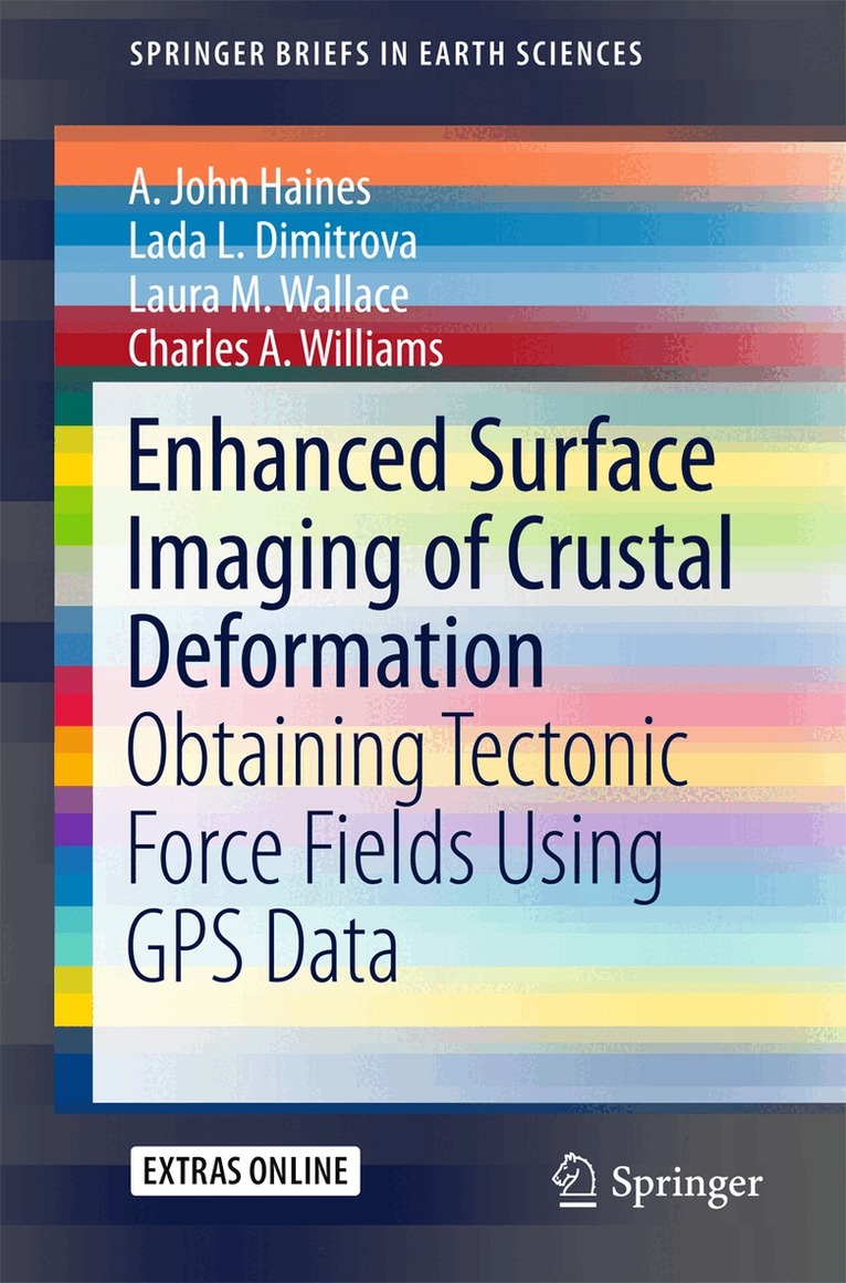
    Enhanced Surface Imaging of Crustal Deformation

    Obtaining Tectonic Force Fields Using GPS Data

    AvA. John Haines,Lada L. Dimitrova

    Häftad, Engelska, 2015

    Del i serien SpringerBriefs in Earth Sciences

    547 kr

    Beställningsvara. Skickas inom 10-15 vardagar. Fri frakt över 249 kr.

    Beskrivning

    This book takes an in depth look at a novel methodology for analyzing Global Positioning System (GPS) data to obtain the highest possible resolution surface imaging of tectonic deformation sources without prescribing the nature of either the sources or the subsurface medium. GPS methods are widely used to track the surface expression of crustal deformation at tectonic plate boundaries, and are typically expressed in terms of velocity fields or strain rate fields. Vertical derivatives of horizontal stress (VDoHS) rates at the Earth’s surface can also be derived from GPS velocities, and VDoHS rates provide much higher resolution information about subsurface deformation sources than velocities or strain rates. In particular, VDoHS rates allow for high precision estimates of fault dips, slip rates and locking depths, as well as objective characterization of previously unknown (or hidden) tectonic deformation zones.

    Produktinformation

    • Utgivningsdatum:2015-08-26
    • Mått:155 x 235 x 7 mm
    • Vikt:204 g
    • Format:Häftad
    • Språk:Engelska
    • Serie:SpringerBriefs in Earth Sciences
    • Antal sidor:99
    • Förlag:Springer International Publishing AG
    • ISBN:9783319215778

    Utforska kategorier

    • Geovetenskap inom Naturvetenskap och teknik
    • Tillämpad fysik inom Naturvetenskap och teknik
    • Geografi inom Naturvetenskap och teknik

    Innehållsförteckning

    • 1. Introduction.- 2. Introduction to the Vertical Derivatives of Horizontal Stress (VDoHS) Rates.- 3. Inversion Methodology.- 4. 1-Dimensional Synthetic Examples.- 5. Application to Central South Island, New Zealand.- 6. 2-Dimensional Examples.- 7. Concluding Remarks.