• Fri frakt över 249 kr
  • •
  • Snabba leveranser
  • •
  • Billiga böcker
Kundservice

Du är på sajten för privatpersoner.

Företag, bibliotek eller offentlig verksamhet?

Du handlar på classic.bokus.com, där alla dina funktioner finns intakta.
Till classic.bokus.com
Bokus logotyp. Gå till startsidan.
  • Erbjudanden
  • Nyheter
  • Student
  • Topplistor
  • Barn & ungdom
  • Bokus Play
  • E-böcker
  • Pocketböcker
  • Spel & pussel

10% rabatt på allt med kod NYSTART10 →

Sidfot

Mina sidor

    Hjälp

    • Kundservice
    • Vanliga frågor och svar
    • Frakt och leverans
    • Retur vid ångerrätt
    • Reklamera vara
    • Betalning
    • Köpvillkor
    • Allmänna villkor
    • Information om webbplatsens tillgänglighet

    Om Bokus

    • Om oss
    • Pressrum
    • För studenter
    • För företag
    • För bibliotek och offentlig verksamhet
    • För leverantörer
    • Hållbarhet

    Populärt

    • Aktuella erbjudanden
    • Presentkort
    • Studentlitteratur
    • Nya böcker
    • Topplistor
    • Signerade böcker
    • Engelska böcker

    Inspiration

    • Boktips
    • BookTok
    • Populära bokserier
    • Barnbokskaraktärer
    • Populära författare
    Logotyp för Bokus
    Följ oss på Facebook (extern länk)Följ oss på Instagram (extern länk)Följ oss på YouTube (extern länk)Följ oss på TikTok (extern länk)
    bokus @ CookiesAnpassa cookiesIntegritetspolicyKöpvillkor
    Till Citymail hemsida (extern länk)Till Budbee hemsida (extern länk)Till Postnord hemsida (extern länk)Till Schenker hemsida (extern länk)Till Early Bird hemsida (extern länk)Till Walleys hemsida (extern länk)
    1. Data och IT
    2. Databaser

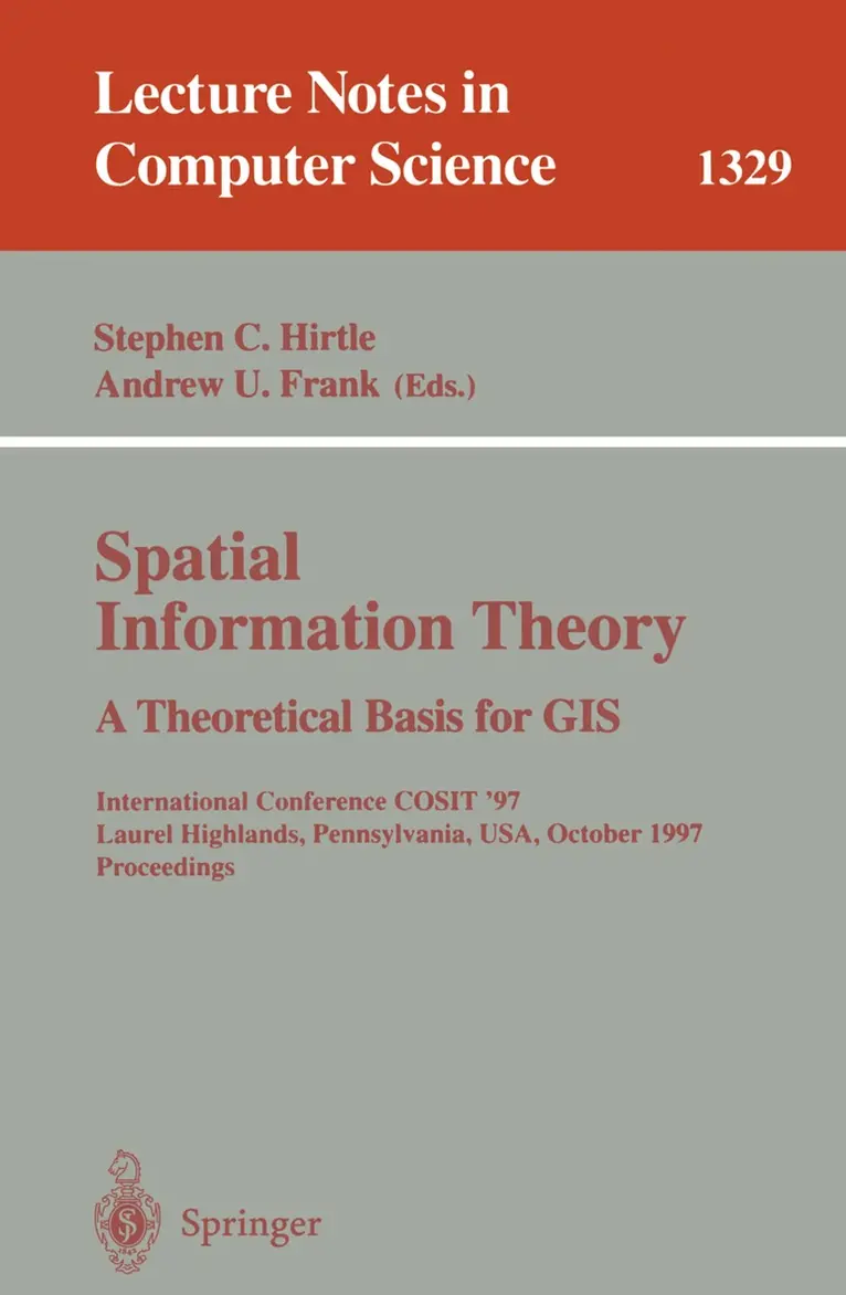
    Spatial Information Theory A Theoretical Basis for GIS

    International Conference COSIT '97, Laurel Highlands, Pennsylvania, USA, October 15-18, 1997. Proceedings

    AvStephen C. Hirtle,Andrew U. Frank

    Häftad, Engelska, 1997

    Del i serien Lecture Notes in Computer Science

    1 086 kr

    Beställningsvara. Skickas inom 10-15 vardagar. Fri frakt över 249 kr.

    Beskrivning

    This book constitutes the refereed proceedings of the 1997 International Conference on Spatial Information Theory, COSIT'97, held in Laurel Highlands, Pennsylvania, USA, in October 1997. The 31 revised full papers presented were carefully selected from a total of 66 submissions. Also included are seven posters. The volume is divided into sections on representations of change, structuring of space, boundaries and gradations, topological models of space, formal models of space, cognitive aspects of spatial acquisition, novel use of spatial information, wayfinding and map interpretation, representations of spatial concepts, new approaches to spatial information.

    Produktinformation

    • Utgivningsdatum:1997-10-01
    • Mått:155 x 235 x 29 mm
    • Vikt:797 g
    • Format:Häftad
    • Språk:Engelska
    • Serie:Lecture Notes in Computer Science
    • Antal sidor:518
    • Upplaga:1997
    • Förlag:Springer-Verlag Berlin and Heidelberg GmbH & Co. KG
    • ISBN:9783540636236

    Utforska kategorier

    • Databaser inom Data och IT
    • Artificiell intelligens inom Data och IT
    • Geografi inom Naturvetenskap och teknik

    Innehållsförteckning

    • Continuous change in spatial regions.- Qualitative representation of change.- Image-schemata-based spatial inferences: The container-surface algebra.- A city metaphor to support navigation in complex information spaces.- Using hierarchical spatial data structures for hierarchical spatial reasoning.- Structuring space with image schemata: Wayfinding in airports as a case study.- Fiat and bona fide Boundaries: Towards an ontology of spatially extended objects.- A representation-oriented taxonomy of gradation.- Classification as an impediment to the reliable and valid use of spatial information: A disaggregate approach.- What maps mean to people: Denotation, connotation, and geographic visualization in land-use debates.- The algebraic structure of sets of regions.- Complex regions in topological queries.- A cognitive assessment of topological spatial relations: Results from an empirical investigation.- Voronoï diagrams on line segments: Measurements for contextual generalization purposes.- A qualitative coordinate language of location of figures within the ground.- Identification of fuzzy objects from field observation data.- Long-term spatial representations from pictorial and textual input.- Feature accumulation and route structuring in distance estimations — An interdisciplinary approach.- The perception and cognition of environmental distance: Direct sources of information.- Improving multi-purpose GIS design: Participative design.- Self-organization, cities, cognitive maps and information systems.- Cognitive requirements on making and interpreting maps.- From knowledge to words to wayfinding: Issues in the production and comprehension of route directions.- Spatial representation for pragmatic navigation.- Partition and conquer.- Supporting emergence in spatialreasoning with shape algebras and formal logic.- Linear constraints: Geometric objects represented by inequalitiesl.- An event-based approach to spatial information.- Geocognostics — A new framework for spatial information theory.- Graphical modelling for geographic explanation.- Experiments using context and significance to enhance the reporting capabilities of gis.- Automatic summarization of radiographic imagery.- An automated system for name placement which complies with cartographic quality criteria: The hydrographic network.- Agent-based simulations of a city dynamics in a gis environment.- A logical approach to incorporating qualitative spatial reasoning into GIS (Extended Abstract).- User interaction in a sketch-based GIS user interface.- Metrical refinement of topological relations.- Approximation of topological relations between fuzzy regions satisfying a linguistically described query.