• Fri frakt över 249 kr
  • •
  • Snabba leveranser
  • •
  • Billiga böcker
Kundservice

Du är på sajten för privatpersoner.

Företag, bibliotek eller offentlig verksamhet?

Du handlar på classic.bokus.com, där alla dina funktioner finns intakta.
Till classic.bokus.com
Bokus logotyp. Gå till startsidan.
  • Erbjudanden
  • Nyheter
  • Student
  • Topplistor
  • Barn & ungdom
  • Bokus Play
  • E-böcker
  • Pocketböcker
  • Spel & pussel

10% rabatt på allt med kod: NYSTART10 →

Sidfot

Mina sidor

    Hjälp

    • Kundservice
    • Vanliga frågor och svar
    • Frakt och leverans
    • Retur vid ångerrätt
    • Reklamera vara
    • Betalning
    • Köpvillkor
    • Allmänna villkor
    • Information om webbplatsens tillgänglighet

    Om Bokus

    • Om oss
    • Pressrum
    • För studenter
    • För företag
    • För bibliotek och offentlig verksamhet
    • För leverantörer
    • Hållbarhet

    Populärt

    • Aktuella erbjudanden
    • Presentkort
    • Studentlitteratur
    • Nya böcker
    • Topplistor
    • Signerade böcker
    • Engelska böcker

    Inspiration

    • Boktips
    • BookTok
    • Populära bokserier
    • Barnbokskaraktärer
    • Populära författare
    Logotyp för Bokus
    Följ oss på Facebook (extern länk)Följ oss på Instagram (extern länk)Följ oss på YouTube (extern länk)Följ oss på TikTok (extern länk)
    bokus @ CookiesAnpassa cookiesIntegritetspolicyKöpvillkor
    Till Citymail hemsida (extern länk)Till Budbee hemsida (extern länk)Till Postnord hemsida (extern länk)Till Schenker hemsida (extern länk)Till Early Bird hemsida (extern länk)Till Walleys hemsida (extern länk)
    1. Ekonomi och Ledarskap
    2. Företagsekonomi

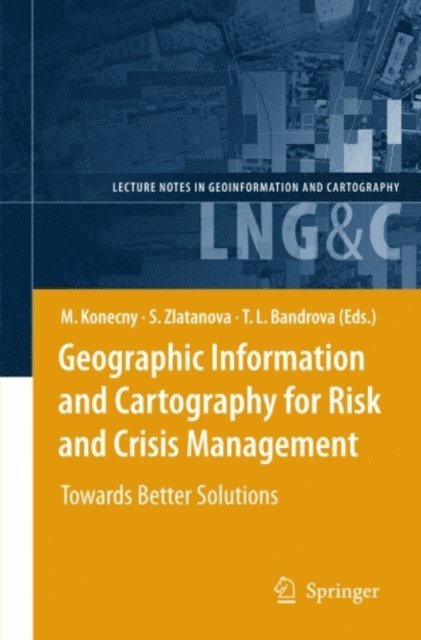
    Geographic Information and Cartography for Risk and Crisis Management

    Towards Better Solutions

    AvTemenoujka L. Bandrova,Sisi Zlatanova

    E-bok
    PDF, Engelska, 2010

    2 044 kr

    Läs direkt i Bokus Reader – eller ladda ned till din enhet (PDF kräver ofta zoom och scroll på små skärmar).

    Beskrivning

    Cartography and geographic information (GI) are remarkably appropriate for the requirements of early warning (EW) and crisis management (CM). The use of geospatial technology has  increased tremendously in the last years. ICT has changed from just using maps created in advance, to new approaches, allowing individuals (decision-makers) to use cartography interactively, on the basis of individual user''s requirements. The new generation of cartographic visualizations based on standardisation, formal modelling, use of sensors, semantics and ontology, allows for the better adaptation of information to the needs of the users. In order to design a new framework in pre-disaster and disaster management safety/security/privacy aspects of institutions and citizens need to be considered. All this can only be achieved by demonstrating new research achievements, sharing best practices (e.g. in the health area) and working towards the wider acceptance of geospatial technology in society, with the help of education and media.

    This book will outline research frontiers and applications of cartography and GI in EW and CM and document their roles and potentials in wider processes going on in information/knowledge-based societies.

    Produktinformation

    • Utgivningsdatum:2010-03-15
    • Språk:Engelska
    • Filformat:PDF
    • Kopieringsskydd:LCP
    • ISBN:9783642034428
    • Förlag:Springer Berlin Heidelberg

    Utforska kategorier

    • Företagsekonomi inom Ekonomi och Ledarskap
    • Tillämpad fysik inom Naturvetenskap och teknik
    • Geovetenskap inom Naturvetenskap och teknik