Temenoujka L. Bandrova – författare
Visar alla böcker från författaren Temenoujka L. Bandrova. Handla med fri frakt och snabb leverans.
3 produkter
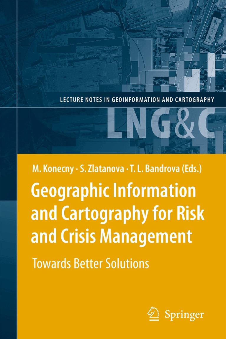
Geographic Information and Cartography for Risk and Crisis Management
Towards Better Solutions
Av Milan Konecny, Sisi Zlatanova m. fl.
Inbunden, 2010
1632 kr
Lägg i varukorg
Cartography and geographic information (GI) are remarkably appropriate for the requirements of early warning (EW) and crisis management (CM). The use of geospatial technology has increased tremendously in the last years. ICT has changed from just using maps created in advance, to new approaches, …
Geographic Information and Cartography for Risk and Crisis Management
Towards Better Solutions
Av Temenoujka L. Bandrova, Sisi Zlatanova m. fl.
E-bok, 2010
2044 kr
Lägg i varukorg
Cartography and geographic information (GI) are remarkably appropriate for the requirements of early warning (EW) and crisis management (CM). The use of geospatial technology has increased tremendously in the last years. ICT has changed from just using maps created in advance, to new approaches, …
Geographic Information and Cartography for Risk and Crisis Management
Towards Better Solutions
Av Milan Konecny, Sisi Zlatanova m. fl.
Häftad, 2012
1632 kr
Lägg i varukorg
Cartography and geographic information (GI) are remarkably appropriate for the requirements of early warning (EW) and crisis management (CM). The use of geospatial technology has increased tremendously in the last years. ICT has changed from just using maps created in advance, to new approaches, …