• Fri frakt över 249 kr
  • •
  • Snabba leveranser
  • •
  • Billiga böcker
Kundservice

Du är på sajten för privatpersoner.

Företag, bibliotek eller offentlig verksamhet?

Du handlar på classic.bokus.com, där alla dina funktioner finns intakta.
Till classic.bokus.com
Bokus logotyp. Gå till startsidan.
  • Erbjudanden
  • Nyheter
  • Student
  • Topplistor
  • Barn & ungdom
  • Bokus Play
  • E-böcker
  • Pocketböcker
  • Spel & pussel

10% rabatt på allt med kod: NYSTART10 →

Sidfot

Mina sidor

    Hjälp

    • Kundservice
    • Vanliga frågor och svar
    • Frakt och leverans
    • Retur vid ångerrätt
    • Reklamera vara
    • Betalning
    • Köpvillkor
    • Allmänna villkor
    • Information om webbplatsens tillgänglighet

    Om Bokus

    • Om oss
    • Pressrum
    • För studenter
    • För företag
    • För bibliotek och offentlig verksamhet
    • För leverantörer
    • Hållbarhet

    Populärt

    • Aktuella erbjudanden
    • Presentkort
    • Studentlitteratur
    • Nya böcker
    • Topplistor
    • Signerade böcker
    • Engelska böcker

    Inspiration

    • Boktips
    • BookTok
    • Populära bokserier
    • Barnbokskaraktärer
    • Populära författare
    Logotyp för Bokus
    Följ oss på Facebook (extern länk)Följ oss på Instagram (extern länk)Följ oss på YouTube (extern länk)Följ oss på TikTok (extern länk)
    bokus @ CookiesAnpassa cookiesIntegritetspolicyKöpvillkor
    Till Citymail hemsida (extern länk)Till Budbee hemsida (extern länk)Till Postnord hemsida (extern länk)Till Schenker hemsida (extern länk)Till Early Bird hemsida (extern länk)Till Walleys hemsida (extern länk)
    1. Naturvetenskap och teknik
    2. Geovetenskap
    3. Miljövetenskap och miljöpolitik

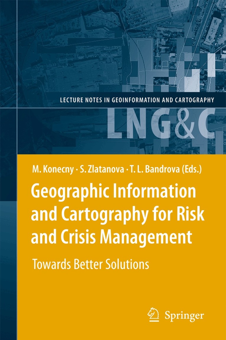
    Geographic Information and Cartography for Risk and Crisis Management

    Towards Better Solutions

    AvMilan Konecny,Sisi Zlatanova

    Häftad, Engelska, 2012

    Del i serien Lecture Notes in Geoinformation and Cartography

    1 626 kr

    Beställningsvara. Skickas inom 10-15 vardagar. Fri frakt över 249 kr.

    Beskrivning

    Cartography and geographic information (GI) are remarkably appropriate for the requirements of early warning (EW) and crisis management (CM). The use of geospatial technology has  increased tremendously in the last years. ICT has changed from just using maps created in advance, to new approaches, allowing individuals (decision-makers) to use cartography interactively, on the basis of individual user's requirements. The new generation of cartographic visualizations based on standardisation, formal modelling, use of sensors, semantics and ontology, allows for the better adaptation of information to the needs of the users. In order to design a new framework in pre-disaster and disaster management safety/security/privacy aspects of institutions and citizens need to be considered. All this can only be achieved by demonstrating new research achievements, sharing best practices (e.g. in the health area) and working towards the wider acceptance of geospatial technology in society, with the help of education and media. This book will outline research frontiers and applications of cartography and GI in EW and CM and document their roles and potentials in wider processes going on in information/knowledge-based societies.

    Produktinformation

    • Utgivningsdatum:2012-05-04
    • Mått:155 x 235 x 26 mm
    • Vikt:703 g
    • Format:Häftad
    • Språk:Engelska
    • Serie:Lecture Notes in Geoinformation and Cartography
    • Antal sidor:429
    • Upplaga:2010
    • Förlag:Springer-Verlag Berlin and Heidelberg GmbH & Co. KG
    • ISBN:9783642262937

    Utforska kategorier

    • Miljövetenskap och miljöpolitik inom Naturvetenskap och teknik
    • Geografi inom Naturvetenskap och teknik

    Innehållsförteckning

    • Geoinformation Processing and Modelling.- Earth Observations and Dynamic Mapping: Key Assets for Risk Management.- Spatial Information for Disaster Management Using Examples from IstanbulIstanbul .- Rapid Population Maps for Crisis Response.- Modeling of Spatiotemporal Distribution of Urban Population at High Resolution – Value for Risk Assessment and Emergency Management.- A Framework for Defining a 3D Model in Support of Risk Management.- DB4GeO, a 3D/4D Geodatabase and Its Application for the Analysis of Landslides.- GIS Procedure to Forecast and Manage Woodland Fires.- Cartographic Support of Fire Engine Navigation to Operation Site.- Strategies for the Automatic Extraction of Water Bodies from TerraSAR-X / TanDEM-X data.- GIS Techniques in the Evaluation of Pipeline Networks Seismic Hazard.- Towards a Quick Damage Detection System Based on Grid Computing.- GMES Services for Conflict Prevention and Mitigation: Supporting the DG RELEX in Mission Planning.- Geo-information Services.- Mobilizing Multi-source Geospatial Information for EW and EM: Maximize Sharing, Enhance Flexibility, and Minimize Costs.- Metainformation in Crisis Management Architecture – Theoretical Approaches, INSPIRE Solution.- Collaborative Post-disaster Damage Mapping via Geo Web Services.- Decision Support for Tsunami Early Warning in Indonesia: The Role of OGC Standards.- A Service-Based Architecture for the Interoperability of Heterogeneous Sensor data: A Case Study on Early Warning.- Development of a Coupled Geoinformation and Simulation System for Early Warning.- Multi-criteria Evaluation for Emergency Management in Spatial Data Infrastructures.- Field Tracking Tool: A Collaborative Framework from the Field to the Decision Makers.- Practical Experience with a Contextual Map Service.-Advanced Cartographic Visualisation.- Cartography and Geoinformation for Early Warning and Emergency Management.- Process Support and Adaptive Geovisualisation in Emergency Management.- Perceptions of Various Cartographic Representations Under Specific Conditions.- Research of Students’ Cartographical Knowledge in Early Warning and Crisis Management.- Geovisual Analytics Tools for Communicating Emergency and Early Warning.- Kernel Density Estimations for Visual Analysis of Emergency Response Data.- Monitoring and Comparing: A Cartographic Web Application for Real-time Visualization of Hydrological Data.- Designing Map Keys Map Key for Crisis ManagementCrisis Management on the Regional Operational and Informational Centre Level: Monitoring Transport of Dangerous Goods via Contextual Visualisation Contextual Visualization .