• Fri frakt över 249 kr
  • •
  • Snabba leveranser
  • •
  • Billiga böcker
Kundservice

Du är på sajten för privatpersoner.

Företag, bibliotek eller offentlig verksamhet?

Du handlar på classic.bokus.com, där alla dina funktioner finns intakta.
Till classic.bokus.com
Bokus logotyp. Gå till startsidan.
  • Erbjudanden
  • Nyheter
  • Student
  • Topplistor
  • Barn & ungdom
  • Bokus Play
  • E-böcker
  • Pocketböcker
  • Spel & pussel

10% rabatt på allt med kod: NYSTART10 →

Sidfot

Mina sidor

    Hjälp

    • Kundservice
    • Vanliga frågor och svar
    • Frakt och leverans
    • Retur vid ångerrätt
    • Reklamera vara
    • Betalning
    • Köpvillkor
    • Allmänna villkor
    • Information om webbplatsens tillgänglighet

    Om Bokus

    • Om oss
    • Pressrum
    • För studenter
    • För företag
    • För bibliotek och offentlig verksamhet
    • För leverantörer
    • Hållbarhet

    Populärt

    • Aktuella erbjudanden
    • Presentkort
    • Studentlitteratur
    • Nya böcker
    • Topplistor
    • Signerade böcker
    • Engelska böcker

    Inspiration

    • Boktips
    • BookTok
    • Populära bokserier
    • Barnbokskaraktärer
    • Populära författare
    Logotyp för Bokus
    Följ oss på Facebook (extern länk)Följ oss på Instagram (extern länk)Följ oss på YouTube (extern länk)Följ oss på TikTok (extern länk)
    bokus @ CookiesAnpassa cookiesIntegritetspolicyKöpvillkor
    Till Citymail hemsida (extern länk)Till Budbee hemsida (extern länk)Till Postnord hemsida (extern länk)Till Schenker hemsida (extern länk)Till Early Bird hemsida (extern länk)Till Walleys hemsida (extern länk)
    1. Naturvetenskap och teknik
    2. Geovetenskap
    3. Geovetenskap

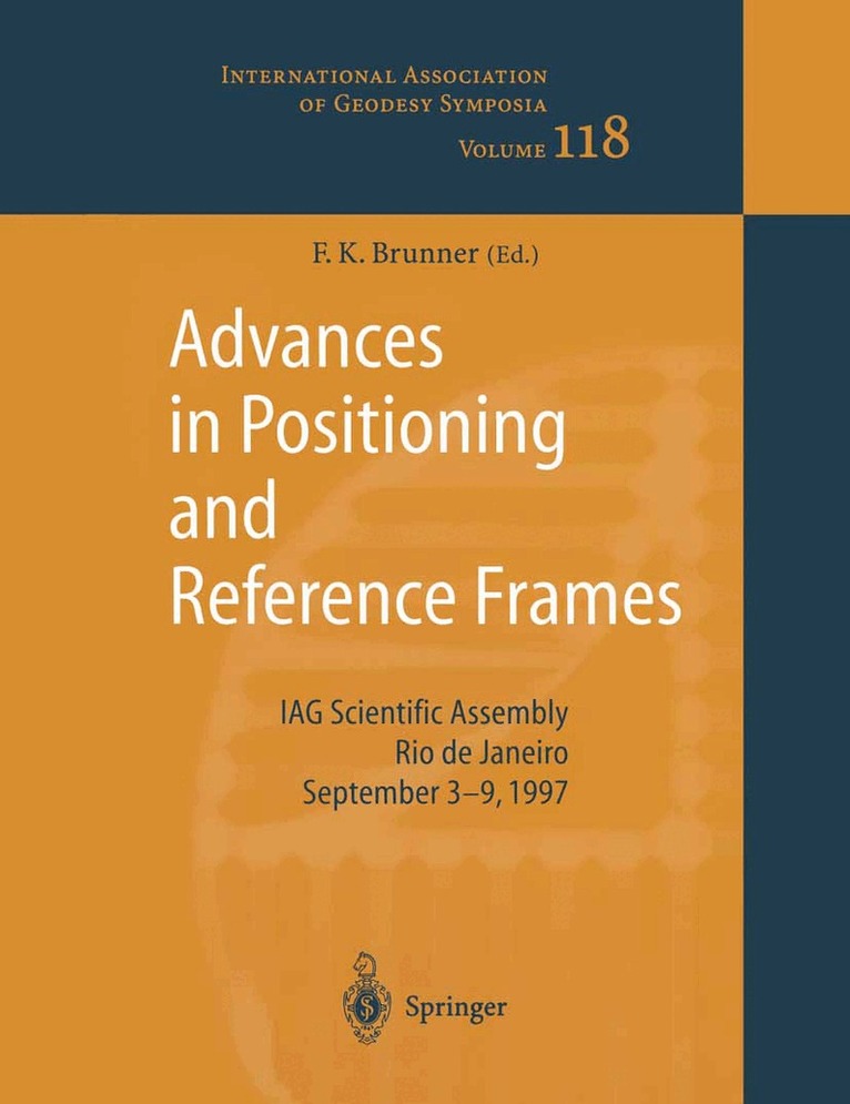
    Advances in Positioning and Reference Frames

    IAG Scientific Assembly Rio de Janeiro, Brazil, September 3–9, 1997

    AvFritz K. Brunner

    Häftad, Engelska, 2010

    Del 118 i serien International Association of Geodesy Symposia

    2 165 kr

    Beställningsvara. Skickas inom 10-15 vardagar. Fri frakt över 249 kr.

    Beskrivning

    Klaus-Peter Schwarz, lAG President The University of Calgary The Scientific Assembly of the International Association of Geodesy (lAG) was held from September 3 to 9, 1997 in Rio de Janeiro, Brazil, in conjunction with the 18th Brazilean Congress of Carthography. This was the first time that one ofthe major lAG meetings took place in Brazil. It provided an opportunity to showcase the progress of geodetic work in South America through campaigns such as SIRGAS. It also provided an opportunity for a large group of international experts to present the state of the art in ge- odesy and geodynamis and to interact with their hosts on possibilities of future coopera- tion. For the lAG, it continued a trend, started in Beijing four years ago, to hold major geodetic meetings outside of Europe and North America. The International Geoid School which was held in Sao Paulo following this meeting showed another facet of this grow- ing internationalization ofIAG activities and services.The scientific program of the meeting consisted of three symposia and two special ses- sions, namely Symposium 1 : Advances in Positioning and Reference Frames Symposium 2: Gravity and Geoid Symposium 3: Geodynamics Special Session 1: lAG Services Special Session 2: Geodesy in Antartica. Papers presented at the first symposium are published in volume 1 of these proceedings, while papers of symposia 2 and 3 as well as special session 2 are contained in volume 2. Papers presented at special session 1 will be published separately.

    Produktinformation

    • Utgivningsdatum:2010-12-01
    • Mått:210 x 279 x 23 mm
    • Vikt:999 g
    • Format:Häftad
    • Språk:Engelska
    • Serie:International Association of Geodesy Symposia
    • Antal sidor:398
    • Förlag:Springer-Verlag Berlin and Heidelberg GmbH & Co. KG
    • ISBN:9783642084256

    Utforska kategorier

    • Geovetenskap inom Naturvetenskap och teknik
    • Tillämpad fysik inom Naturvetenskap och teknik

    Innehållsförteckning

    • Session 1: Maintenance and Densification of Reference Frames.- WGS 84 — Past, Present and Future.- ITRF Densification and Continuous Realization by the IGS.- The Use of the EUREF Permanent GPS Network for the Maintenance of the European Terrestrial Reference Frame.- The European Vertical GPS Reference Network Campaign 1997 — Concept and Status.- From UELN-95 to EVS 2000 — European Activities for a Continental Vertical Datum.- Global GPS Networks and the Determination of Earth Rotation Parameters.- Realization of the ITRF-94 in Thailand and Malaysia by Use of a Combined Network for Geodynamics and National Survey.- The ITRF96 Realization of the International Terrestrial Reference System (Abstract).- Modernizing the Reference Framework for Canada’s Maritime Provinces.- Permanent GPS Tracking Network including the Mediterranean Area.- Session 2: GPS Reference Networks.- The Brazilian Network for Continuous Monitoring of GPS (RBMC): Operation and Products.- Towards an Austrian GPS Reference Network.- Real-Time Differential GPS Error Modelling in Regional Reference Station Networks.- Processing Strategies for Regional GPS Networks.- A Continental Wide Area Differential GPS Strategy.- Possibility of a Dynamic Cadastre for a Dynamic Nation.- Preliminary Stability Test for the Regional GPS Tracking Stations in Taiwan.- The Use of Heuristics in the Design of GPS Networks.- Transformations of GPS Coordinates and Heights in Trinidad.- Vectors Connecting the Geodetic Points at Metsähovi and Sjökulla.- Use of the Finnish Permanent GPS Network (FinnNet) in Regional GPS Campaigns.- The New Swiss National Height System LHN95.- The Non-Fiducial Approach Applied to GPS Networks.- The Statefix West Australian GPS Network.- POLREF-96 — The New Geodetic Reference Frame forPoland.- Session 3: SIRGAS Project.- An Overview of the SIRGAS Project (Abstract).- The Definition and Realization of the Reference System in the SIRGAS Project.- Time Evolution of the SIRGAS Reference Frame.- Results of the SIRGAS 95 GPS Network Processing at DGFI/I.- The Integration of Brazilian Geodetic Network into SIRGAS.- Adjustment of the New Venezuelan National GPS Network within the SIRGAS Reference Frame.- Realization of a Geocentric Reference System in Argentina in Connection with SIRGAS.- Some Considerations Related to the New Realization of SAD-69 in Brazil.- The IGS Regional Network Associate Analysis Center for South America at DGFI/I.- The Redefinition of the Geodetic Reference System of Uruguay into SIRGAS Frame.- Session 4: Current Developments in Precise GPS Positioning.- GPS Ambiguity Resolution for Navigation, Rapid Static Surveying, and Regional Networks.- GPS Antenna and Site Effects.- Precise GPS Positioning Improvements by Reducing Antenna and Site Dependent Effects.- IGS Orbit, Clock and EOP Combined Products: An Update.- The Use of GPS for Monitoring of the Ionospheric Disturbances.- An Integrated GPS Monitoring System for Site Investigation of Nuclear Waste Disposal.- Determination of Stochastic Models of GPS Baselines in GPS Network Adjustment.- The Assisi Landslide GPS Network.- Use of a Regional Ionospheric Model in GPS Geodetic Applications.- Instantaneous Ambiguity Resolution for Medium-Range GPS Kinematic Positioning Using Multiple Reference Stations.- Exploiting the SIRGAS Colocations for Determining Elevation Dependent Phase Center Variations of Geodetic GPS Antennas.- Real-Time Failure Detection and Repair in Ionospheric Delay Estimation Using GPS by Robust and Conventional Kalman Filter State Estimates.- GPS Levelling Results fromTwo Test Areas in Finland.- Quality Control Algorithms for Permanent GPS Receiver Applications.- Fast Ambiguity Resolution in Network Mode.- Session 5: GPS Kinematic Applications.- High Precision GPS Kinematic Positioning: Progress and Outlook.- Kinematic Positioning Using Adaptive Filters and Multiple DGPS Receiver Configurations.- Estimating the Residual Tropospheric Delay for Airborne Differential GPS Positioning.- High-Accuracy Airborne Integrated Mapping System.- Airborne GPS Performance during a Photogrammetric Project.- Signal Distortion in High Precision GPS Surveys (Abstract).- Testing GPS Approaches for Civil Aviation in the Swiss Alps.- Static and Kinematic Positioning with GPS for the Construction and Maintenance of High Speed Railway Lines.- Kinematic GPS for Ice Sheet Surveys in Greenland.- A Reweighted Filtering Algorithm and its Application to Open Pit Deformation Monitoring.- Permanent Automatic GPS Deformation Monitoring Systems: A Review of System Architecture and Data Processing Strategies.- Modified GPS-OTF Algorithms for Bridge Monitoring: Application to the Pierre-Laporte Suspension Bridge in Quebec City.- The GPS Component of the Project for Digital Mapping of the KARST Aquifer System Near Curitiba, Brazil (Abstract).- Kinematic GPS Positioning with Adaptive Kalman Filtering Techniques.