• Fri frakt över 249 kr
  • •
  • Snabba leveranser
  • •
  • Billiga böcker
Kundservice

Du är på sajten för privatpersoner.

Företag, bibliotek eller offentlig verksamhet?

Du handlar på classic.bokus.com, där alla dina funktioner finns intakta.
Till classic.bokus.com
Bokus logotyp. Gå till startsidan.
  • Erbjudanden
  • Nyheter
  • Student
  • Topplistor
  • Barn & ungdom
  • Bokus Play
  • E-böcker
  • Pocketböcker
  • Spel & pussel

10% studentrabatt med kod TERM26

Sidfot

Mina sidor

    Hjälp

    • Kundservice
    • Vanliga frågor och svar
    • Frakt och leverans
    • Retur vid ångerrätt
    • Reklamera vara
    • Betalning
    • Köpvillkor
    • Allmänna villkor
    • Information om webbplatsens tillgänglighet

    Om Bokus

    • Om oss
    • Pressrum
    • För studenter
    • För företag
    • För bibliotek och offentlig verksamhet
    • För leverantörer
    • Hållbarhet

    Populärt

    • Aktuella erbjudanden
    • Presentkort
    • Studentlitteratur
    • Nya böcker
    • Topplistor
    • Signerade böcker
    • Engelska böcker

    Inspiration

    • Boktips
    • BookTok
    • Populära bokserier
    • Barnbokskaraktärer
    • Populära författare
    Logotyp för Bokus
    Följ oss på Facebook (extern länk)Följ oss på Instagram (extern länk)Följ oss på YouTube (extern länk)Följ oss på TikTok (extern länk)
    bokus @ CookiesAnpassa cookiesIntegritetspolicyKöpvillkor
    Till Citymail hemsida (extern länk)Till Budbee hemsida (extern länk)Till Postnord hemsida (extern länk)Till Schenker hemsida (extern länk)Till Early Bird hemsida (extern länk)Till Walleys hemsida (extern länk)
    1. Naturvetenskap och teknik
    2. Geovetenskap
    3. Geovetenskap

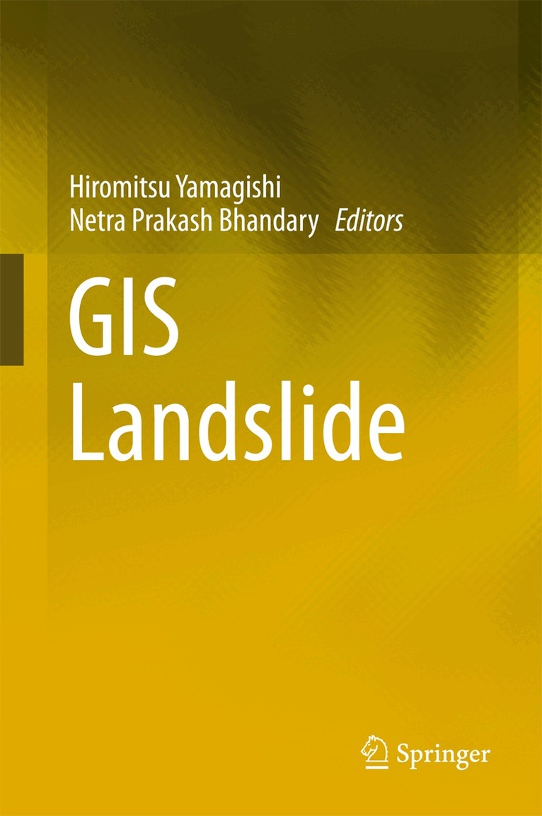
    GIS Landslide

    AvHiromitsu Yamagishi,Netra Prakash Bhandary

    Inbunden, Engelska, 2017

    1 634 kr

    Beställningsvara. Skickas inom 10-15 vardagar. Fri frakt över 249 kr.

    Beskrivning

    This book presents landslide studies using the geographic information system (GIS), which includes not only the science of GIS and remote sensing, but also technical innovations, such as detailed light detection and ranging profiles, among others. To date most of the research on landslides has been found in journals on topography, geology, geo-technology, landslides, and GIS, and is limited to specific scientific aspects. Although journal articles on GIS using landslide studies are abundant, there are very few books on this topic. This book is designed to fill that gap and show how the latest GIS technology can contribute in terms of landslide studies. In a related development, the GIS Landslide Workshop was established in Japan 7 years ago in order to communicate and solve the scientific as well as technical problems of GIS analyses, such as how to use GIS software and its functions. The workshop has significantly contributed to progress in the field.Included among the chapters of this book are GIS using susceptibility mapping, analyses of deep-seated and shallow landslides, measuring and visualization of landslide distribution in relation to topography, geological facies and structures, rivers, land use, and infrastructures such as roads and streets. Filled with photographs, figures, and tables, this book is of great value to researchers in the fields of geography, geology, seismology, environment, remote sensing, and atmospheric research, as well as to students in these fields.

    Produktinformation

    • Utgivningsdatum:2017-05-23
    • Mått:155 x 235 x 19 mm
    • Vikt:530 g
    • Format:Inbunden
    • Språk:Engelska
    • Antal sidor:230
    • Upplaga:17001
    • Förlag:Springer Verlag, Japan
    • ISBN:9784431543909

    Utforska kategorier

    • Geovetenskap inom Naturvetenskap och teknik
    • Miljövetenskap och miljöpolitik inom Naturvetenskap och teknik
    • Geografi inom Naturvetenskap och teknik

    Innehållsförteckning

    • Scope and review [established research].- Introduction to GIS.- Introduction to remote sensing.- Measuring and visulalization of deep-seated landslide using GIS.- Relation to topography.- Relation to geology and geologic structures.- Analyses of deep-seated landslides and hazard mapping using GIS.- Measuring and visualization of shallow landslide induced by heavy rainfalls using GIS.- Measuring and visualization of precipitation using GIS.- Measuring and visualization of shallow landslide induced by earthquakes using GIS.- Measuring and GIS analyses of drainage system and flood.- Measuring and visualization of glaciers using GIS.- Photographs and remote sensing analyses.- Related extensional analyses.- Scientific problems.- Technical problems.- Programming.- For the future.