• Fri frakt över 249 kr
  • •
  • Snabba leveranser
  • •
  • Billiga böcker
Kundservice

Du är på sajten för privatpersoner.

Företag, bibliotek eller offentlig verksamhet?

Du handlar på classic.bokus.com, där alla dina funktioner finns intakta.
Till classic.bokus.com
Bokus logotyp. Gå till startsidan.
  • Erbjudanden
  • Nyheter
  • Student
  • Topplistor
  • Barn & ungdom
  • Bokus Play
  • E-böcker
  • Pocketböcker
  • Spel & pussel

10% rabatt på allt med kod: NYSTART10 →

Sidfot

Mina sidor

    Hjälp

    • Kundservice
    • Vanliga frågor och svar
    • Frakt och leverans
    • Retur vid ångerrätt
    • Reklamera vara
    • Betalning
    • Köpvillkor
    • Allmänna villkor
    • Information om webbplatsens tillgänglighet

    Om Bokus

    • Om oss
    • Pressrum
    • För studenter
    • För företag
    • För bibliotek och offentlig verksamhet
    • För leverantörer
    • Hållbarhet

    Populärt

    • Aktuella erbjudanden
    • Presentkort
    • Studentlitteratur
    • Nya böcker
    • Topplistor
    • Signerade böcker
    • Engelska böcker

    Inspiration

    • Boktips
    • BookTok
    • Populära bokserier
    • Barnbokskaraktärer
    • Populära författare
    Logotyp för Bokus
    Följ oss på Facebook (extern länk)Följ oss på Instagram (extern länk)Följ oss på YouTube (extern länk)Följ oss på TikTok (extern länk)
    bokus @ CookiesAnpassa cookiesIntegritetspolicyKöpvillkor
    Till Citymail hemsida (extern länk)Till Budbee hemsida (extern länk)Till Postnord hemsida (extern länk)Till Schenker hemsida (extern länk)Till Early Bird hemsida (extern länk)Till Walleys hemsida (extern länk)
    1. Naturvetenskap och teknik
    2. Geovetenskap
    3. Geografi

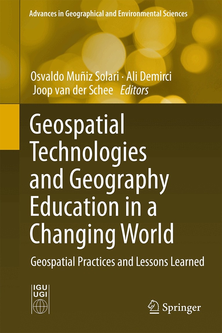
    Geospatial Technologies and Geography Education in a Changing World

    Geospatial Practices and Lessons Learned

    AvOsvaldo Muñiz Solari,Ali Demirci

    Inbunden, Engelska, 2015

    Del i serien Advances in Geographical and Environmental Sciences

    1 625 kr

    Beställningsvara. Skickas inom 10-15 vardagar. Fri frakt över 249 kr.

    Beskrivning

    This book is an initiative presented by the Commission on Geographical Education of the International Geographical Union. It focuses particularly on what has been learned from geospatial projects and research from the past decades of implementing geospatial technologies (GST) in formal and informal education. The objective of this publication is to inform an international audience of teachers, professionals, scholars, and policymakers about the state of the art and prospects of geospatial practices (GPs) as organized activities that use GST and lessons learned in relation to geographical education. GST make up an advanced body of knowledge developed by practitioners of geographic information systems (GIS), remote sensing (RS), global positioning systems, (GPS), and digital cartography (DC). GST have long been applied in many different sectors; however, their first use in higher education began in the early 1980s and then diffused to secondary schools during the 1990s. Starting with GIS and RS, it evolved into a much broader context, as GST expanded to include GPS and DC with new communication technologies and Internet applications. GST have been used around the world as a combination of tools and special techniques to make research, teaching, and learning more effective.

    Produktinformation

    • Utgivningsdatum:2015-09-11
    • Mått:155 x 235 x 18 mm
    • Vikt:580 g
    • Format:Inbunden
    • Språk:Engelska
    • Serie:Advances in Geographical and Environmental Sciences
    • Antal sidor:221
    • Upplaga:15001
    • Förlag:Springer Verlag, Japan
    • ISBN:9784431555186

    Utforska kategorier

    • Geografi inom Naturvetenskap och teknik
    • Undervisning i specifika ämnen inom Psykologi och pedagogik

    Mer om författaren

    Osvaldo Muniz Solari is professor of Geography in the Department of Geography and Associate Director of the Gilbert Grosvenor Center for Geographic Education at Texas State University, Texas, United States of America. He is a core faculty for the Ph.D. Program in Geographic Education. He received his Master of Arts degree in Geography from Michigan State University and a Ph.D. in Geography from The University of Tennessee. His main fields of research are online learning methods in geography, new technologies for global collaboration, and international flows. He is a member of the Steering Committee of the Commission on Geographical Education of the International Geographical Union. He is also a member of the US Commission in Geography of the Pan American Institute of Geography and History (PAIGH), Organization of American States.Ali Demirci is an associate professor at the Department of Geography, Fatih University in Istanbul, Turkey. He received his Ph.D. degree in 2004 from Marmara University in Turkey and studied secondary school geography education in the US as his dissertation subject. His major research interests are geography education in general and geospatial technologies and their applications in geography education in particular. Many of his studies were published in national and international journals in a wide range of topics including curricular developments, the use of GIS and other geospatial technologies in geography education, and the application of GIS and Remote Sensing in different areas. He is the author and co-author of many books published in Turkish and English some of which are “GIS for Teachers“ published in Turkish by Fatih University with the support of Esri-Turkey; “GIS-based Projects at Schools: Examples of Using GIS for Education“ published by Esri-Turkey, and “International Perspectives on Teaching and Learning with GIS in Secondary Schools“ published by Springer. Over the past ten years, he has beeninvolved in many national and international activities such as organizing and managing projects, conferences, workshops, and courses to introduce GIS to secondary and higher education institutions. He is the Vice President of the Turkish Association of Geographers and a steering committee member of the Commission on Geographical Education of the International Geographical Union.Joop van der Schee is professor of Geography for Education and Communication at the Faculty of Geosciences, Utrecht University, The Netherlands and also professor for Geography Education at VU University, Amsterdam, The Netherlands, appointed by the Royal Dutch Geography Society. He is co-chair of the Commission on Geographical Education of the International Geographical Union. His main fields of research are learning with digital maps and thinking through geography strategies. In both areas he has published in English, German and Dutch since 1987.

    Innehållsförteckning

    • Geospatial Technology in Geography Education.- Digital Geography Education in the 21st Century: Needs and Opportunities.- Spatial Thinking in Education: Concepts, Development, and Assessment.- Education for Spatial Citizenship.- Integrating GIS and Other Geospatial Technologies in Middle Schools.- Geospatial Education in High Schools: Curriculums, Methodologies, and Practices.- Applied Geospatial Technologies in Higher Education.- Practice of Geospatial Technologies in Informal Learning.- WebGIS in Education.- Teaching GIS and Other Geospatial Technologies to In-service Teachers.- Professional Development Focusing on Iinquiry-based Learning Using GIS.- The Effectiveness of Geospatial Practices in Education.- An Assessment of the Use of GIS in Teaching.- A Review of Geospatial Thinking Assessment in High Schools.- Opportunities and Challenges in Using Geospatial Technologies for Education.- Digital Earth – Digital World: Strategies for Geospatial Technologies in 21st Century Education.- What the Agenda of Geospatial Science for Geography Education Should be for the Future.