• Fri frakt över 249 kr
  • •
  • Snabba leveranser
  • •
  • Billiga böcker
Kundservice

Du är på sajten för privatpersoner.

Företag, bibliotek eller offentlig verksamhet?

Du handlar på classic.bokus.com, där alla dina funktioner finns intakta.
Till classic.bokus.com
Bokus logotyp. Gå till startsidan.
  • Erbjudanden
  • Nyheter
  • Student
  • Topplistor
  • Barn & ungdom
  • Bokus Play
  • E-böcker
  • Pocketböcker
  • Spel & pussel

10% studentrabatt med kod TERM26

Sidfot

Mina sidor

    Hjälp

    • Kundservice
    • Vanliga frågor och svar
    • Frakt och leverans
    • Retur vid ångerrätt
    • Reklamera vara
    • Betalning
    • Köpvillkor
    • Allmänna villkor
    • Information om webbplatsens tillgänglighet

    Om Bokus

    • Om oss
    • Pressrum
    • För studenter
    • För företag
    • För bibliotek och offentlig verksamhet
    • För leverantörer
    • Hållbarhet

    Populärt

    • Aktuella erbjudanden
    • Presentkort
    • Studentlitteratur
    • Nya böcker
    • Topplistor
    • Signerade böcker
    • Engelska böcker

    Inspiration

    • Boktips
    • BookTok
    • Populära bokserier
    • Barnbokskaraktärer
    • Populära författare
    Logotyp för Bokus
    Följ oss på Facebook (extern länk)Följ oss på Instagram (extern länk)Följ oss på YouTube (extern länk)Följ oss på TikTok (extern länk)
    bokus @ CookiesAnpassa cookiesIntegritetspolicyKöpvillkor
    Till Citymail hemsida (extern länk)Till Budbee hemsida (extern länk)Till Postnord hemsida (extern länk)Till Schenker hemsida (extern länk)Till Early Bird hemsida (extern länk)Till Walleys hemsida (extern länk)
    1. Historia och arkeologi
    2. Historia
    3. Historia: särskilda händelser och ämnen
    4. Historisk geografi

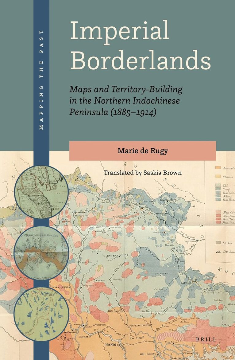
    Imperial Borderlands

    Maps and Territory-Building in the Northern Indochinese Peninsula (1885-1914)

    AvMarie de Rugy

    Inbunden, Engelska, 2021

    Del 1 i serien Mapping the Past

    2 511 kr

    Beställningsvara. Skickas inom 5-8 vardagar. Fri frakt över 249 kr.

    Beskrivning

    This book presents a connected history of South-East Asian borderlands, drawing on late nineteenth-century British and French geographical policies and practice. It focuses on the ‘scramble’ in Asia, when, in 1885, the British Raj incorporated Upper Burma and the French created a Protectorate in Annam-Tonkin, the Northern part of present-day Vietnam. Fought over by the imperial states and neighbouring nations, the frontier zones were fashioned and represented not only by the two European powers, but also by the Chinese Empire, the Kingdom of Siam, and the local populations. The counterpoint between the discourses produced and the cartographical practices on the ground, in the longue durée, reveals the interacting processes of territory-building in all their unpredictability.This book is the updated version of the author’s Aux confins des empires. Cartes et constructions territoriales dans le nord de la péninsule indochinoise (1885–1914) (Paris: Éditions de la Sorbonne, 2018). It is translated by Saskia Brown, an experienced academic translator from French in the humanities and social sciences.With a foreword by Matthew Edney.

    Produktinformation

    • Utgivningsdatum:2021-10-21
    • Mått:155 x 235 x 23 mm
    • Vikt:757 g
    • Format:Inbunden
    • Språk:Engelska
    • Serie:Mapping the Past
    • Antal sidor:326
    • Förlag:Brill
    • ISBN:9789004456211
    • Originaltitel:Aux confins des empires
    • Översättare:Saskia Brown

    Utforska kategorier

    • Historisk geografi inom Historia och arkeologi

    Mer om författaren

    Marie de Rugy is a Lecturer in Modern History at Sciences Po Strasbourg. She has published one monograph and several articles on cartography and empire in South-East Asia.

    Recensioner i media

    Reviews of the French edition“In this beautifully produced book, which contains a separate section with fine reproductions of the main maps, Marie de Rugy has exposed the complexity of colonial cartography, with all its technical and human challenges, in a particularly critical way, thereby demonstrating the relevance of a comparative approach. Her research takes a fresh look at questions about centrality and periphery in cartographic matters.”East Asian Science, Technology, and Medicine, no.50, 2019, 184-186.“This enterprise was anything but easy (…) Marie de Rugy’s book is not only an excellent monograph on cartography in Asia at the end of the 19th century. It is also an inspiring reflection on the nature of the conquest and the transformation of imperial margins by European empires.”L’Histoire, no.458, April 2019.“This book delves into several colonial regimes and (…) offers a nuanced analysis of the interactions between colonisers and colonised peoples. Here lies its success.”Liens socios“By presenting a comparative approach, adopting a large questioning and delving into a huge variety of sources, the author offers a reference work.”La letttre de l’Afrase, no.96“Overall, it is a very original book, especially chapter 6 where the author analyses indigenous maps and immerse readers in the heart of the map production process”Revue d'histoire du XIXe siècle, no.58, 2019, 290-292.“Another asset of this research is the constant attention given to the interaction between colonial cartographers and the local inhabitants in the gathering of general and specific information about the annexed territories, the collection of topographical data, and the eventual production of new maps. (…) she successfully avoids the pitfall of binary thinking in which European and native views of space are diametrically opposed.”East Asian Science, Technology, and Medicine, no.50, 2019, 184-186.“Marie de Rugy’s book distinguishes itself by its analysis of the way Europeans related to colonised peoples and knowledge.”IRSEM - Institute for Strategic Research (Newsletter Oct 2018)“A strong point is the methodological choice to “cross-examine” imperial systems (“croiser les différents systèmes impériaux”), that is, to systematically and critically conduct a comparative study of the British and French colonial worlds, with a focus on a wide range ofdynamics, in particular the circulation of knowledge and practices.”East Asian Science, Technology, and Medicine, no.50, 2019, 184-186.“Intensive and critical research has produced a particularly solid study, which moreover offers a great deal of inspiration for similar research about other colonial settings.” East Asian Science, Technology, and Medicine, no.50, 2019, 184-186.“Aux confins des empires gives a new perspective to borderland studies in Southeast Asia.”IRSEM - Institute for Strategic Research (Newsletter Oct 2018)“The book allows readers to get to the very root of the current hierarchy between margins and centres in Burma, Laos and Vietnam.”IRSEM - Institute for Strategic Research (Newsletter Oct 2018)"One of the book’s strengths is its coverage of indigenous Southeast Asian mapping. In particular, de Rugy spotlights Vietnam’s strong mapping tradition, a subject that has received little attention in the West. The book is handsomely produced, with a generous number of sharp, color images of maps, many of which were previously unknown. It will be a welcome addition to many libraries." – Harold Meinheit, in: Washington Map Society, Winter 2022/23, p.43

    Innehållsförteckning

    • ForewordAcknowledgementsList of FiguresAcronyms and Transcription ConventionsIntroduction1 A History of Maps and Territories2 Confines, Margins, Frontiers: Space as an Object3 Connecting Empires1 Connected Histories of Exploration1 A Well-Stocked Colonial Library with a Long History2 Geographies of Exploration and Travel Narratives before 18853 Colonial Knowledge and Empire-Building after 18852 Colonial Geographical Departments and Large-Scale Map-Making Programmes1 The Creation of Colonial Geographical Departments2 Systematic Mapping of the Whole Territory: A Qualitative Advance?3 Meeting the Challenge of Limited Staff, Budgets and Material3 Geographical Institutions: Collaboration, Competition, and Confrontation1 Rivalry and Cooperation between Map-Makers2 The Circulation and Uses of Maps4 Triangulation “from the Mountains to the Sea1 Tough Working Conditions and a Dangerous Terrain2 Topographers and Geodetic Surveyors in Action: Adapting Standard Practice3 Human Settlements and Dwellings: A Map-Maker’s Headache5 Consulting the Local Population1 The Role of Intelligence: Local Information Sources during the Conquest2 Place Names, the Impossible Task6 Using Asian Maps: Borrowings and Reworkings1 Checking Historical Borders7 Colonial Roads and Territorial Reconfigurations1 Travelling across the Territory2 The Margins Reconfigured by Roads8 Locating, Demarcating, and Crossing the Border1 Theoretical Variations2 Boundary Marking in Practice3 Border Controls and Infringements9 Logics of Rule and Territorial Anomalies1 The Specific Status of the Frontier Provinces2 Unstable Territorial DivisionsConclusionBibliographyIndex