Mapping the Past – serie
Visar alla böcker i serien Mapping the Past. Handla med fri frakt och snabb leverans.
6 produkter
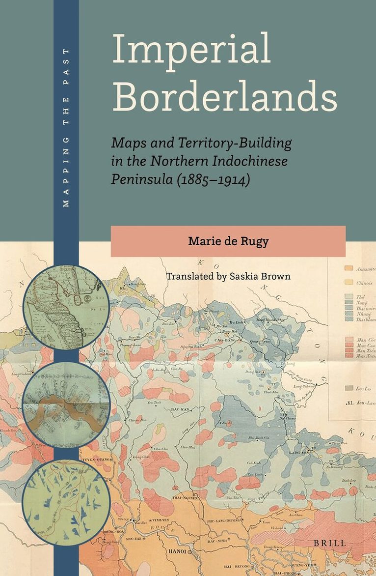
Imperial Borderlands
Maps and Territory-Building in the Northern Indochinese Peninsula (1885-1914)
Inbunden, 2021
2593 kr
Lägg i varukorg
This book presents a connected history of South-East Asian borderlands, drawing on late nineteenth-century British and French geographical policies and practice. It focuses on the ‘scramble’ in Asia, when, in 1885, the British Raj incorporated Upper Burma and the French created a Protectorate in …
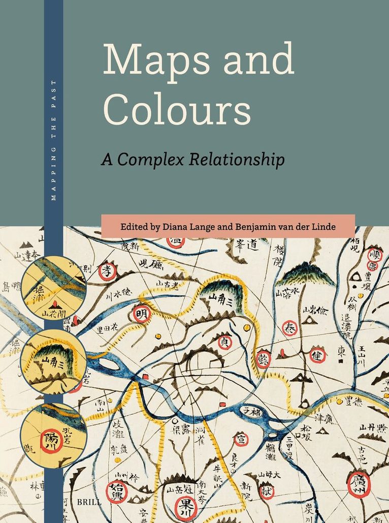
Maps and Colours
A Complex Relationship
Av Diana Lange
Häftad, 2024
1787 kr
Lägg i varukorg
Colours make the map: they affect the map’s materiality, content, and handling. With a wide range of approaches, 14 case studies from various disciplines deal with the colouring of maps from different geographical regions and periods. Connected by their focus on the (hand)colouring of the examined …
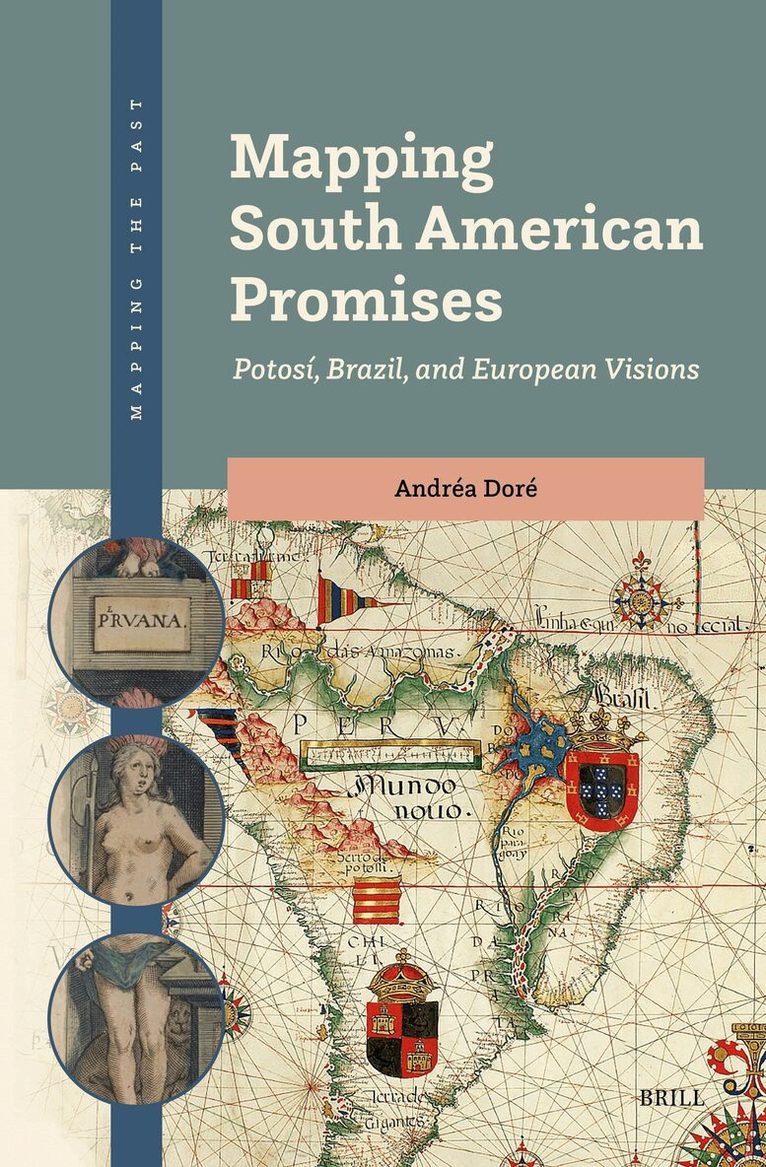
Mapping South American Promises: Potosí, Brazil, and European Visions
Av Andréa Doré
Inbunden, 2025
2340 kr
Lägg i varukorg
“Nomen est omen”. A name is a prophecy, a destiny, or even a promise. Why was South America once referred to as Peru, “Peruana”, or “América Peruana”? What role did the Potosí Mountain play in shaping these designations? And how did these perceptions affect the lands of Brazil? This book offers new …
L'Amérique Méridionale: The Map That Shaped Brazil in the 18th Century
Inbunden, 2024
2043 kr
Lägg i varukorg
This book explores how the origins of Brazil’s modern borders can be traced to the cartography of the Americas produced by the eighteenth-century French cartographer J.B.B. d’Anville. It argues that this map reflects the geopolitical policies of the Portuguese diplomat D. Luis da Cunha, who was …
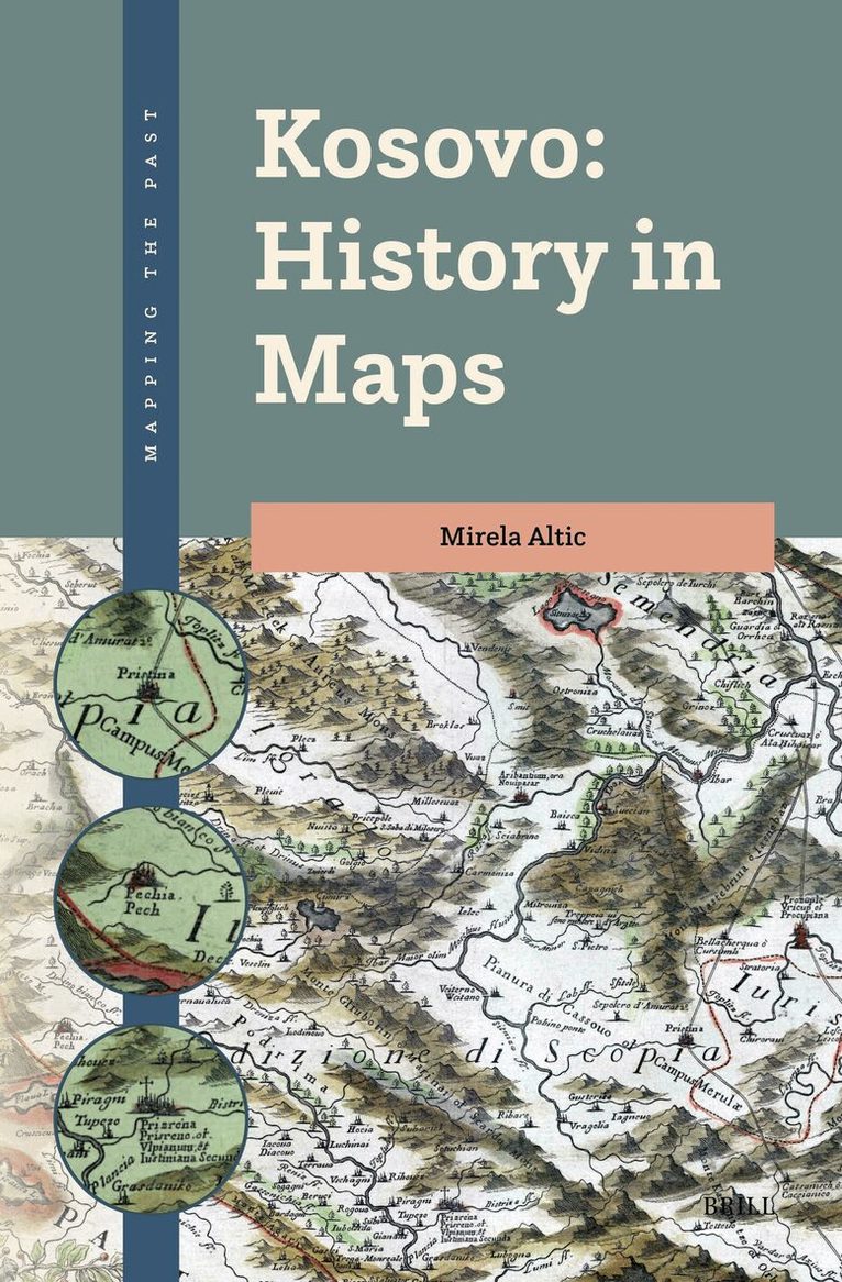
Kosovo: History in Maps
Av Mirela Altic
Inbunden, 2025
2110 kr
Lägg i varukorg
In Kosovo: History in Maps, the story of Kosovo's history is told through maps which take us through space and time, from antiquity to the present day. Placed at the intersection of the Ottoman, Habsburg, and Serbian Empires, Kosovo attracted the attention of cartographers and mapmakers from …
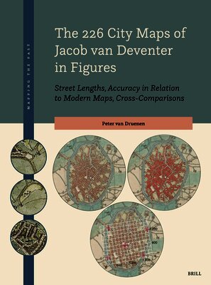
226 City Maps of Jacob van Deventer in Figures
Street Lengths, Accuracy in Relation to Modern Maps, Cross-Comparisons
Häftad, 2026
3143 kr
Lägg i varukorg
In this publication, Peter van Druenen presents an innovative method by which – for the first time – all 226 city maps created by Jacob van Deventer between 1545 and 1575 have been systematically and consistently measured, analysed for quality, and compared. The essence of this ‘Passus Method’ lies …