E-bok, Engelska, 2012
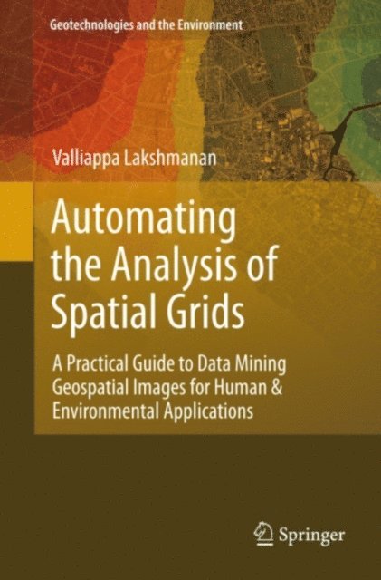
Automating the Analysis of Spatial Grids
2111 kr
Läs direkt i Bokus Reader – eller ladda ned till din enhet (PDF kräver ofta zoom och scroll på små skärmar).
Beskrivning
The ability to create automated algorithms to process gridded spatial data is increasingly important as remotely sensed datasets increase in volume and frequency. Whether in business, social science, ecology, meteorology or urban planning, the ability to create automated applications to analyze and detect patterns in geospatial data is increasingly important. This book provides students with a foundation in topics of digital image processing and data mining as applied to geospatial datasets. The aim is for readers to be able to devise and implement automated techniques to extract information from spatial grids such as radar, satellite or high-resolution survey imagery.
Produktinformation
- Utgivningsdatum: 2012-06-14
- Språk: Engelska
- Filformat: PDF
- Kopieringsskydd: LCP
- ISBN: 9789400740754
- Förlag: Springer Netherlands
Utforska kategorier
Betyg & recensioner
0 recensioner
Inga recensioner tillgängliga.