• Fri frakt över 249 kr
  • •
  • Snabba leveranser
  • •
  • Billiga böcker
Kundservice

Du är på sajten för privatpersoner.

Företag, bibliotek eller offentlig verksamhet?

Du handlar på classic.bokus.com, där alla dina funktioner finns intakta.
Till classic.bokus.com
Bokus logotyp. Gå till startsidan.
  • Erbjudanden
  • Nyheter
  • Student
  • Topplistor
  • Barn & ungdom
  • Bokus Play
  • E-böcker
  • Pocketböcker
  • Spel & pussel

10% rabatt på allt med kod: NYSTART10 →

Sidfot

Mina sidor

    Hjälp

    • Kundservice
    • Vanliga frågor och svar
    • Frakt och leverans
    • Retur vid ångerrätt
    • Reklamera vara
    • Betalning
    • Köpvillkor
    • Allmänna villkor
    • Information om webbplatsens tillgänglighet

    Om Bokus

    • Om oss
    • Pressrum
    • För studenter
    • För företag
    • För bibliotek och offentlig verksamhet
    • För leverantörer
    • Hållbarhet

    Populärt

    • Aktuella erbjudanden
    • Presentkort
    • Studentlitteratur
    • Nya böcker
    • Topplistor
    • Signerade böcker
    • Engelska böcker

    Inspiration

    • Boktips
    • BookTok
    • Populära bokserier
    • Barnbokskaraktärer
    • Populära författare
    Logotyp för Bokus
    Följ oss på Facebook (extern länk)Följ oss på Instagram (extern länk)Följ oss på YouTube (extern länk)Följ oss på TikTok (extern länk)
    bokus @ CookiesAnpassa cookiesIntegritetspolicyKöpvillkor
    Till Citymail hemsida (extern länk)Till Budbee hemsida (extern länk)Till Postnord hemsida (extern länk)Till Schenker hemsida (extern länk)Till Early Bird hemsida (extern länk)Till Walleys hemsida (extern länk)
    1. Naturvetenskap och teknik
    2. Matematik och naturvetenskap
    3. Astronomi

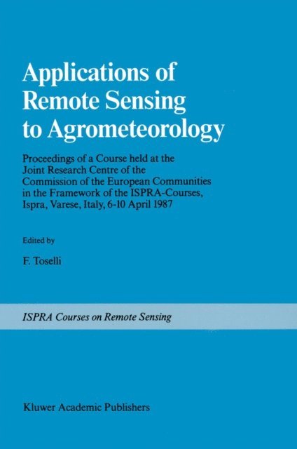
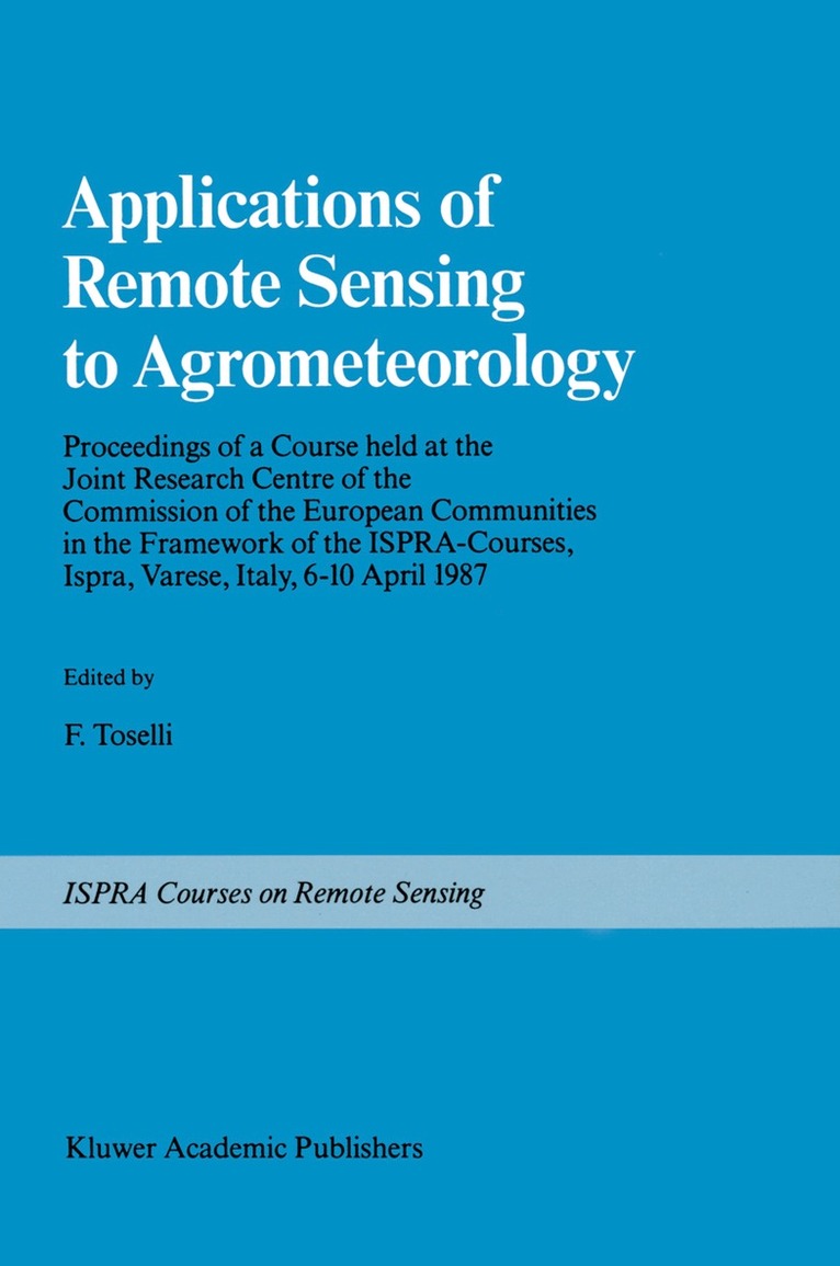
    Applications of Remote Sensing to Agrometeorology

    Proceedings of a Course held at the Joint Research Centre of the Commission of the European Communities in the Framework of the Ispra-Courses, Ispra, Varese, Italy, 6–10 April 1987

    AvF. Toselli

    Häftad, Engelska, 2011

    Del i serien Ispra Courses

    2 165 kr

    Beställningsvara. Skickas inom 10-15 vardagar. Fri frakt över 249 kr.

    Beskrivning

    Within the framework of Ispra Courses, a course on "Applications of Remote Sensing to Agrometeorology" was held from April 6th to 10th, 1987 at the Joint Research Centre of the European Communities, Ispra Italy. The purpose of the course was to familiarize scientists, active in Agrometeorology and related fields, with remote sensing techniques and their potential applications in their respective disciplines. Conventional ground investigations in various fields of natural sciences such as hydrology, pedology and agrometeorology can be supple­ mented by a range of instruments carried by airborne or earth orbiting platforms. The last few years, in particular, have seen many developments in this respect and a growing amount of information can now be derived not only from dedicated earth resources satellites such as the LANDSAT and SPOT, but also from other platforms such as METEOSAT and the series of NOAA-TIROS. Future platforms (ERS-l, Space Station, etc.) with their advanced sensors will further broaden the range of applications open to the investigators. The use of these data sources, together with field investigations, can lead, at a reduced cost, to a better characterization of the spatial and temporal properties of natural systems.

    Produktinformation

    • Utgivningsdatum:2011-10-05
    • Mått:155 x 235 x 19 mm
    • Vikt:511 g
    • Format:Häftad
    • Språk:Engelska
    • Serie:Ispra Courses
    • Antal sidor:326
    • Förlag:Springer
    • ISBN:9789401075015

    Utforska kategorier

    • Astronomi inom Naturvetenskap och teknik
    • Meteorologi och klimatologi inom Naturvetenskap och teknik
    • Geografi inom Naturvetenskap och teknik

    Innehållsförteckning

    • Fundamentals of Remote Sensing.- Sensors.- Platforms.- The Luxuriant Image — An Introduction to Remote Sensing Data Processing.- Image Processing Techniques: Filtering, Exogenous Data, Geometrical Processing.- Imaging Radar Fundamentals.- Radar Post-Processing.- Extraction of Surface Temperature from Satellite Data.- Use of Surface Temperature in Agrometeorology.- Radiation Budget at the Ground from Satellite Data.- Microwave Remote Sensing of Soil Moisture.- The Vegetation Index and the Study of Vegetation Dynamics.- Satellite Remote Sensing of Rainfall.