Anngret Simms – författare
Visar alla böcker från författaren . Handla med fri frakt och snabb leverans.
7 produkter
7 produkter
Häftad, Engelska, 2019
787 kr
Skickas inom 10-15 vardagar
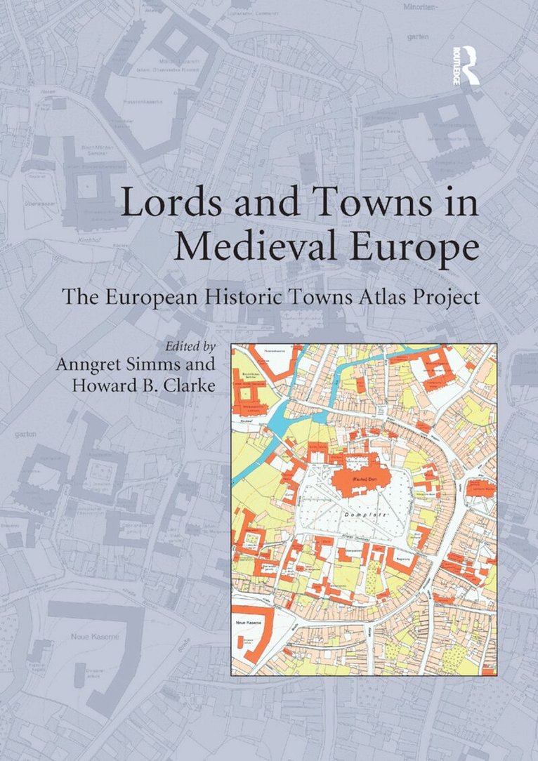
This volume is based on possibly the biggest single Europe-wide project in urban history. In 1955 the International Commission for the History of Towns established the European historic towns atlas project in accordance with a common scheme in order to encourage comparative urban studies. Although advances in urban archaeology since the 1960s have highlighted the problematic relationship between the oldest extant town plan and the actual origins of a town, the large-scale cadastral maps as they have been made available by the European historic towns atlas project are still necessary if we want to understand the evolution of the physical form of our towns. By 2014 the project consisted of over 500 individual publications from over 18 different countries across Europe. Each atlas comprises at least a core-map at the scale of 1:2500, analytical maps and an explanatory text. The time has come to use this enormous database that has been compiled over the last 40 years. This volume, itself based on a conference related to this topic that was held in the Royal Irish Academy in Dublin in 2006, takes up this challenge. The focus of the volume is on the question of how seigneurial power influenced the creation of towns in medieval Europe and of how this process in turn influenced urban form. Part I of the volume addresses two major issues: the history of the use of town plans in urban research and the methodological challenges of comparative urban history. Parts II and III constitute the core of the book focusing on the dynamic relationship between lordship and town planning in the core area of medieval Europe and on the periphery. In Part IV the symbolic meaning of town plans for medieval people is discussed. Part V consists of critical contributions by an archaeologist, an art historian and an historical geographer. By presenting case studies by leading researchers from different European countries, this volume combines findings that were hitherto not available in English
Inbunden, Engelska, 2015
2 740 kr
Skickas inom 10-15 vardagar
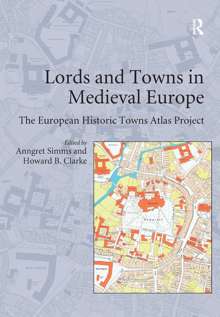
This volume is based on possibly the biggest single Europe-wide project in urban history. In 1955 the International Commission for the History of Towns established the European historic towns atlas project in accordance with a common scheme in order to encourage comparative urban studies. Although advances in urban archaeology since the 1960s have highlighted the problematic relationship between the oldest extant town plan and the actual origins of a town, the large-scale cadastral maps as they have been made available by the European historic towns atlas project are still necessary if we want to understand the evolution of the physical form of our towns. By 2014 the project consisted of over 500 individual publications from over 18 different countries across Europe. Each atlas comprises at least a core-map at the scale of 1:2500, analytical maps and an explanatory text. The time has come to use this enormous database that has been compiled over the last 40 years. This volume, itself based on a conference related to this topic that was held in the Royal Irish Academy in Dublin in 2006, takes up this challenge. The focus of the volume is on the question of how seigneurial power influenced the creation of towns in medieval Europe and of how this process in turn influenced urban form. Part I of the volume addresses two major issues: the history of the use of town plans in urban research and the methodological challenges of comparative urban history. Parts II and III constitute the core of the book focusing on the dynamic relationship between lordship and town planning in the core area of medieval Europe and on the periphery. In Part IV the symbolic meaning of town plans for medieval people is discussed. Part V consists of critical contributions by an archaeologist, an art historian and an historical geographer. By presenting case studies by leading researchers from different European countries, this volume combines findings that were hitherto not available in English. A comparison of the English and German bibliographies, attached to this volume, reveals some interesting insights as to how the focus of research shifted over time. The book also shows how work on urban topography integrates the approaches of the historian, archaeologist and historical geographer. The narrative of medieval urbanization becomes enriched and the volume is a genuine contribution to European studies.
E-bok
Engelska, 2017928 kr
Läs direkt efter köp
This volume is based on possibly the biggest single Europe-wide project in urban history. In 1955 the International Commission for the History of Towns established the European historic towns atlas project in accordance with a common scheme in order to encourage comparative urban studies. Although advances in urban archaeology since the 1960s have highlighted the problematic relationship between the oldest extant town plan and the actual origins of a town, the large-scale cadastral maps as they have been made available by the European historic towns atlas project are still necessary if we want to understand the evolution of the physical form of our towns. By 2014 the project consisted of over 500 individual publications from over 18 different countries across Europe. Each atlas comprises at least a core-map at the scale of 1:2500, analytical maps and an explanatory text. The time has come to use this enormous database that has been compiled over the last 40 years. This volume, itself based on a conference related to this topic that was held in the Royal Irish Academy in Dublin in 2006, takes up this challenge. The focus of the volume is on the question of how seigneurial power influenced the creation of towns in medieval Europe and of how this process in turn influenced urban form. Part I of the volume addresses two major issues: the history of the use of town plans in urban research and the methodological challenges of comparative urban history. Parts II and III constitute the core of the book focusing on the dynamic relationship between lordship and town planning in the core area of medieval Europe and on the periphery. In Part IV the symbolic meaning of town plans for medieval people is discussed. Part V consists of critical contributions by an archaeologist, an art historian and an historical geographer. By presenting case studies by leading researchers from different European countries, this volume combines findings that were hitherto not available in English. A comparison of the English and German bibliographies, attached to this volume, reveals some interesting insights as to how the focus of research shifted over time. The book also shows how work on urban topography integrates the approaches of the historian, archaeologist and historical geographer. The narrative of medieval urbanization becomes enriched and the volume is a genuine contribution to European studies.
E-bok
PDF, Engelska, 2017928 kr
Läs direkt efter köp
This volume is based on possibly the biggest single Europe-wide project in urban history. In 1955 the International Commission for the History of Towns established the European historic towns atlas project in accordance with a common scheme in order to encourage comparative urban studies. Although advances in urban archaeology since the 1960s have highlighted the problematic relationship between the oldest extant town plan and the actual origins of a town, the large-scale cadastral maps as they have been made available by the European historic towns atlas project are still necessary if we want to understand the evolution of the physical form of our towns. By 2014 the project consisted of over 500 individual publications from over 18 different countries across Europe. Each atlas comprises at least a core-map at the scale of 1:2500, analytical maps and an explanatory text. The time has come to use this enormous database that has been compiled over the last 40 years. This volume, itself based on a conference related to this topic that was held in the Royal Irish Academy in Dublin in 2006, takes up this challenge. The focus of the volume is on the question of how seigneurial power influenced the creation of towns in medieval Europe and of how this process in turn influenced urban form. Part I of the volume addresses two major issues: the history of the use of town plans in urban research and the methodological challenges of comparative urban history. Parts II and III constitute the core of the book focusing on the dynamic relationship between lordship and town planning in the core area of medieval Europe and on the periphery. In Part IV the symbolic meaning of town plans for medieval people is discussed. Part V consists of critical contributions by an archaeologist, an art historian and an historical geographer. By presenting case studies by leading researchers from different European countries, this volume combines findings that were hitherto not available in English. A comparison of the English and German bibliographies, attached to this volume, reveals some interesting insights as to how the focus of research shifted over time. The book also shows how work on urban topography integrates the approaches of the historian, archaeologist and historical geographer. The narrative of medieval urbanization becomes enriched and the volume is a genuine contribution to European studies.
Del 255 - BAR International Series
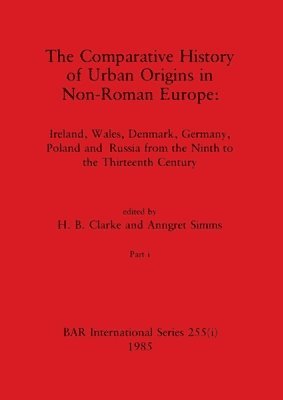
Comparative History of Urban Origins in Non-Roman Europe, Part i
Ireland, Wales, Denmark, Germany, Poland and Russia from the Ninth to the Thirteenth Century
Häftad, Engelska, 1985
1 107 kr
Skickas inom 5-8 vardagar
Del 255 - BAR International Series
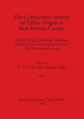
Comparative History of Urban Origins in Non-Roman Europe, Part ii
Ireland, Wales, Denmark, Germany, Poland and Russia from the Ninth to the Thirteenth Century
Häftad, Engelska, 1985
1 107 kr
Skickas inom 5-8 vardagar
E-bok
PDF, Tyska, 2016507 kr
Läs direkt efter köp
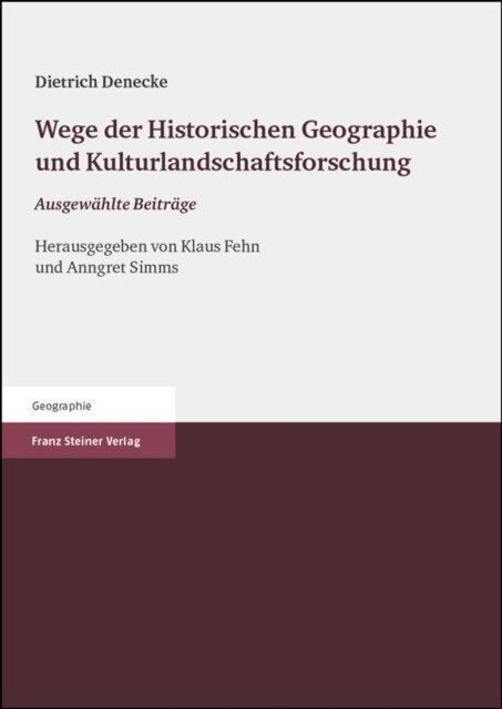
Die Historische Geographie verbindet nicht nur die Geographie und die Geschichtswissenschaften, sondern tragt mit ihren anwendungsorientierten Beitragen auch ganz wesentlich zu einer modernen fachubergreifenden Kulturlandschaftspflege bei. Dietrich Denecke verkorpert wie kaum ein anderer diese Verbindung von Grundlagenforschung und Anwendungsbezug und die zeitliche und raumliche Weite der Historischen Geographie. Fur den vorliegenden Sammelband aus Anlass seines 70. Geburtstags haben Klaus Fehn und Anngret Simms dreizehn grundlegende Aufsatze ausgewahlt und sie den Abschnitten: Wege der Forschung, Siedlungs- und Flurgenese, Verkehr und Altstra en, Stadt und Anwendung zugeordnet. Der Band enthalt ferner ein komplettes Literaturverzeichnis von Dietrich Denecke, eine ausfuhrliche Wurdigung seiner wissenschaftlichen Bedeutung sowie richtungsweisende Uberlegungen des Jubilars zur Zukunft des Forschungsfeldes. Das E-Book vermittelt so einen vorzuglichen Einblick in die Forschungsschwerpunkte einer modernen Historischen Geographie was aufgrund der fehlenden deutschsprachigen Lehrbucher zu diesem Fach besonders wichtig ist.