Geographical Sciences Committee – författare
Visar alla böcker från författaren Geographical Sciences Committee. Handla med fri frakt och snabb leverans.
14 produkter
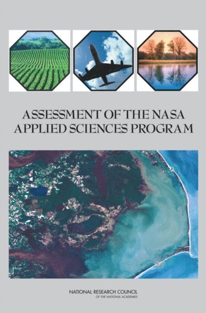
Assessment of the NASA Applied Sciences Program
Av Committee on Extending Observations and Research Results to Practical Applications: A Review of NASA's Approach, Geographical Sciences Committee m. fl.
E-bok, 2007
468 kr
Lägg i varukorg
Remote sensing data and models from the National Aeronautics and Space Administration (NASA) are the basis for a wide spectrum of scientific research endeavors and are key inputs to many public and private services. The NASA Applied Sciences Program (ASP) and its precursors have been tasked with …
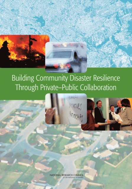
Building Community Disaster Resilience Through Private-Public Collaboration
Av Committee on Private-Public Sector Collaboration to Enhance Community Disaster Resilience, Geographical Sciences Committee m. fl.
E-bok, 2011
458 kr
Lägg i varukorg
Natural disasters—including hurricanes, earthquakes, volcanic eruptions, and floods—caused more than 220,000 deaths worldwide in the first half of 2010 and wreaked havoc on homes, buildings, and the environment. To withstand and recover from natural and human-caused disasters, it is essential that …
Assessment of the NASA Applied Sciences Program
Av Committee on Extending Observations and Research Results to Practical Applications: A Review of NASA's Approach, Geographical Sciences Committee m. fl.
E-bok, 2007
658 kr
Lägg i varukorg
Remote sensing data and models from the National Aeronautics and Space Administration (NASA) are the basis for a wide spectrum of scientific research endeavors and are key inputs to many public and private services. The NASA Applied Sciences Program (ASP) and its precursors have been tasked with …
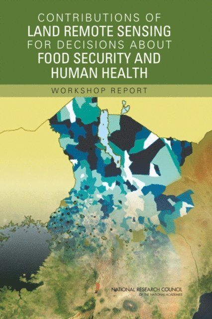
Contributions of Land Remote Sensing for Decisions About Food Security and Human Health
Workshop Report
Av Committee on the Earth System Science for Decisions About Human Welfare: Contributions of Remote Sensing, Geographical Sciences Committee m. fl.
E-bok, 2006
572 kr
Lägg i varukorg
Land remote sensing: the use of space-based satellite technologies to obtain information on environmental variables such as land-use and land-covering combination with other types of data can provide information on changes in the Earth''s surface and atmosphere that are critical for forecasting and …
Learning to Think Spatially
Av Committee on Support for Thinking Spatially: The Incorporation of Geographic Information Science Across the K-12 Curriculum, Geographical Sciences Committee m. fl.
E-bok, 2005
741 kr
Lägg i varukorg
Learning to Think Spatially examines how spatial thinking might be incorporated intoexisting standards-based instruction across the school curriculum. Spatial thinkingmust be recognized as a fundamental part of K–12 education and as an integratorand a facilitator for problem solving across the …
Building Community Disaster Resilience Through Private-Public Collaboration
Av Committee on Private-Public Sector Collaboration to Enhance Community Disaster Resilience, Geographical Sciences Committee m. fl.
E-bok, 2011
658 kr
Lägg i varukorg
Natural disasters—including hurricanes, earthquakes, volcanic eruptions, and floods—caused more than 220,000 deaths worldwide in the first half of 2010 and wreaked havoc on homes, buildings, and the environment. To withstand and recover from natural and human-caused disasters, it is essential that …
Advancing Land Change Modeling
Opportunities and Research Requirements
Av National Research Council, Division on Earth and Life Studies m. fl.
Häftad, 2014
398 kr
Lägg i varukorg
People are constantly changing the land surface through construction, agriculture, energy production, and other activities. Changes both in how land is used by people (land use) and in the vegetation, rock, buildings, and other physical material that cover the Earth's surface (land cover) can be …
Advancing Land Change Modeling
Opportunities and Research Requirements
Av Committee on Needs and Research Requirements for Land Change Modeling, Geographical Sciences Committee m. fl.
E-bok, 2014
589 kr
Lägg i varukorg
People are constantly changing the land surface through construction, agriculture, energy production, and other activities. Changes both in how land is used by people (land use) and in the vegetation, rock, buildings, and other physical material that cover the Earth''s surface (land cover) can be …
Fostering Transformative Research in the Geographical Sciences
Av Committee on Identifying Transformative Research in the Geographical Sciences, Geographical Sciences Committee m. fl.
E-bok, 2019
695 kr
Lägg i varukorg
The central purpose of all research is to create new knowledge. In the geographical sciences this is driven by a desire to create new knowledge about the relations between space, place, and the anthropogenic and non-anthropogenic features and processes of the Earth. But some research goes beyond …
Learning to Think Spatially
Av Committee on Support for Thinking Spatially: The Incorporation of Geographic Information Science Across the K-12 Curriculum, Geographical Sciences Committee m. fl.
E-bok, 2005
634 kr
Lägg i varukorg
Learning to Think Spatially examines how spatial thinking might be incorporated intoexisting standards-based instruction across the school curriculum. Spatial thinkingmust be recognized as a fundamental part of K–12 education and as an integratorand a facilitator for problem solving across the …
Contributions of Land Remote Sensing for Decisions About Food Security and Human Health
Workshop Report
Av Committee on the Earth System Science for Decisions About Human Welfare: Contributions of Remote Sensing, Geographical Sciences Committee m. fl.
E-bok, 2006
399 kr
Lägg i varukorg
Land remote sensing: the use of space-based satellite technologies to obtain information on environmental variables such as land-use and land-covering combination with other types of data can provide information on changes in the Earth''s surface and atmosphere that are critical for forecasting and …
Contributions of Land Remote Sensing for Decisions About Food Security and Human Health
Workshop Report
Av National Research Council, Division on Earth and Life Studies m. fl.
Häftad, 2006
637 kr
Tillfälligt slut
Land remote sensing: the use of space-based satellite technologies to obtain information on environmental variables such as land-use and land-covering combination with other types of data can provide information on changes in the Earth's surface and atmosphere that are critical for forecasting and …
Assessment of the NASA Applied Sciences Program
Av National Research Council, Division on Earth and Life Studies m. fl.
Häftad, 2007
665 kr
Tillfälligt slut
Remote sensing data and models from the National Aeronautics and Space Administration (NASA) are the basis for a wide spectrum of scientific research endeavors and are key inputs to many public and private services. The NASA Applied Sciences Program (ASP) and its precursors have been tasked with …
Building Community Disaster Resilience Through Private-Public Collaboration
Av National Research Council, Division on Earth and Life Studies m. fl.
Häftad, 2011
474 kr
Tillfälligt slut
Natural disasters--including hurricanes, earthquakes, volcanic eruptions, and floods--caused more than 220,000 deaths worldwide in the first half of 2010 and wreaked havoc on homes, buildings, and the environment. To withstand and recover from natural and human-caused disasters, it is essential …