Harvey Map Services Ltd. – författare
Visar alla böcker från författaren Harvey Map Services Ltd.. Handla med fri frakt och snabb leverans.
6 produkter
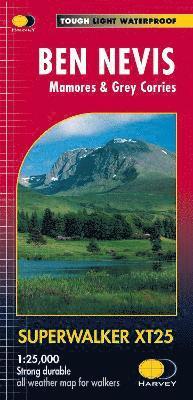
Ben Nevis
Mamores & Grey Corries
2017
253 kr
Lägg i varukorg
Ben Nevis with the Mamores and Grey Corries ranges at 1:25,000 on a double-sided, waterproof and tear-resistant map from Harvey Map Services in their Superwalker series, with the peak area also shown in greater detail at 1:12,500. The map divides the area north/south, with a good overlap between …
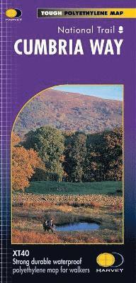
Cumbria Way
2016
345 kr
Lägg i varukorg
Entire route on one mapThe Cumbria Way is 112km (70 miles) from Ulverston to Carlisle. It passes through Coniston, Dungeon Ghyll, Keswick and Caldbeck. The route passes mostly through valleys rather than over high tops.Tough, light, durable and 100% waterproofIncludes Rights of WayRoute clearly …
Cairngorms and Lochnagar
2019
299 kr
Lägg i varukorg
Heavy weight mountains on a lightweight map. 40 Munros & 13 Corbetts on one map. Printed on polyethylene - durable, tearproof & 100% waterproof. Colour shading for easy identification of hills & valleys. Less than half the weight of a laminated map. The reverse of the map includes Geological map, …
South Downs Way
2019
261 kr
Lägg i varukorg
Just one HARVEY map covers the whole route. This map is detailed, with the route of the National Trail clearly marked. The map also contains general info & useful telephone nos to assist with planning. Info & key are in 3 languages (English, French & German).
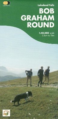
Bob Graham Round
Lakeland Fells
2009
253 kr
Lägg i varukorg
This historic 72 Mile route, completed by Bob Graham in 1932, is now a popular long distance endurance challenge. This map is your essential navigational guide, with recommended route and changeover points shown. Detailed clear and easy to read, printed on waterproof paper, lightweight to carry and …
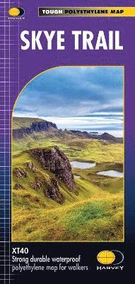
Skye Trail
2019
261 kr
Lägg i varukorg
Entire route on one mapThe Skye Trail is a challenging unmarked route of 127km (79 miles) through the island of Skye. It is specifically aimed at experienced hillwalkers. The route follows much of the amazing Trotternish Ridge and passes beneath the peaks and pinnacles of the Cuillin, which are …