
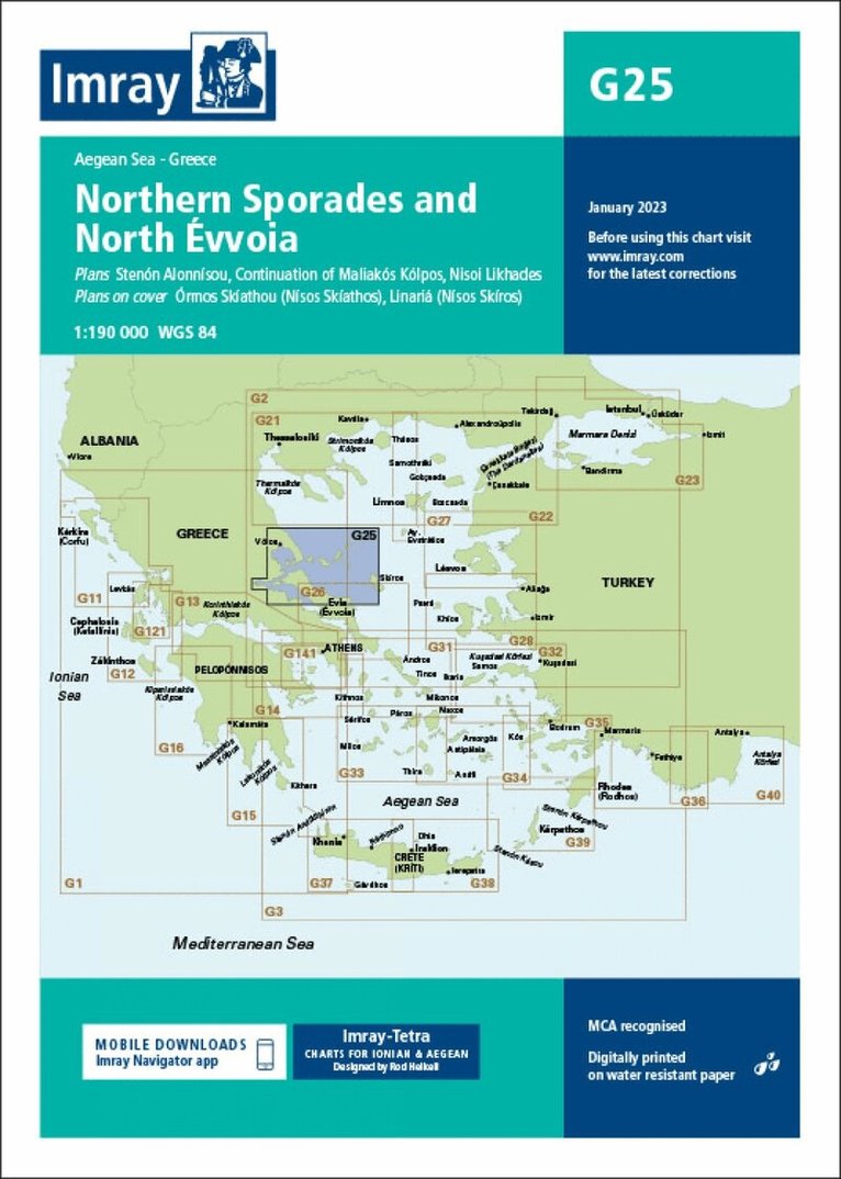
Plans included: Órmos Skíathou (Nísos Skíathos) (1:50 000) Stenón Alonnísou (1:50 000) Linariá (Nísos Skíros) (1:75 000) Continuation of Maliakós Kólpos (1:190 000) Nisoi Likhades (1:50 000) On this edition the chart specification has been improved to show coloured light flashes. A new plan showing the passage around Nisoi Likhades is included. There has been general updating throughout.
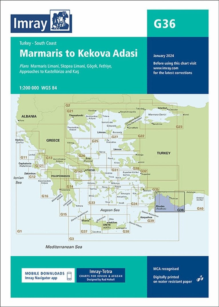
Plans included:Marmaris Limani (1:50 000)Skopea Limani (1:100 000)Göçek (1:25 000)Fethiye (1:35 000)Approaches to Kastellórizo and Kas (1:75 000)Imray-Tetra charts for the Ionian and Aegean are widely acknowledged as the best available for the cruising sailor. They combine the latest official survey data with first-hand information gathered by Rod and Lucinda Heikell. The chart is designed to be used alongside Imray pilot guides of the area. Like all Imray charts, they are printed on water resistant Pretex paper for durability, and they include many anchorages, facilities and inlets not included on official charts.This edition includes the latest official data combined with additional information sourced from Imray's network to make it ideal for small craft. It includes the latest official bathymetric surveys. There has been general updating throughout.
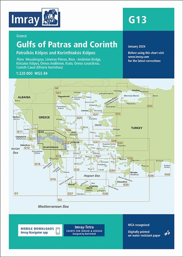
Plans included:Mesolóngion (1:40 000)Liménas Pátron (1:12 500)Ríon - Andírrion Bridge (1:30 000)Krissaíos Kólpos (1:50 000)Órmos Andíkiron (1:50 000)Kiato (1:10 000)Órmos Loutrákiou (1:20 000)Corinth Canal (Dhiórix Korínthou) (1:25 000)Imray-Tetra charts for the Ionian and Aegean are widely acknowledged as the best available for the cruising sailor. They combine the latest official survey data with first-hand information gathered by Rod and Lucinda Heikell. The chart is designed to be used alongside Imray pilot guides of the area. Like all Imray charts, they are printed on water resistant Pretex paper for durability, and they include many anchorages, facilities and inlets not included on official charts.This edition includes the latest official data combined with additional information sourced from Imray's network to make it ideal for small craft. It includes the latest official bathymetric surveys. There has been general updating throughout.
Plans included:Marina Alimos (Kalamáki) (1:12 500)Stenón Metópis (1:30 000)Limín Póros (1:25 000)Nisídhes Tselevínia (1:50 000)Stenón Spétsai (1:40 000)Návplion (1:20 000)Imray-Tetra charts for the Ionian and Aegean are widely acknowledged as the best available for the cruising sailor. They combine the latest official survey data with first-hand information gathered by Rod and Lucinda Heikell. The chart is designed to be used alongside Imray pilot guides of the area. Like all Imray charts, they are printed on water resistant Pretex paper for durability, and they include many anchorages, facilities and inlets not included on official charts.This edition includes the latest official data combined with additional information sourced from Imray's network to make it ideal for small craft. It includes the latest official bathymetric surveys. There has been general updating throughout.
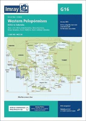
Chart scale 1:190 000Plans included:Liménas Kalamátas (1:12 500)Yíthion (1:12 500)Órmos Kapsáli (1:5000)Dhiakofti (1:12 500)Monemvasía (Yéfira) (1:7500)Nísos Andikíthera to Nísos Kríti (1:190 000)Imray-Tetra charts for the Ionian and Aegean are widely acknowledged as the best available for the cruising sailor. They combine the latest official survey data with first-hand information gathered by Rod and Lucinda Heikell. The chart is designed to be used alongside Imray pilot guides of the area. Like all Imray charts, they are printed on water resistant Pretex paper for durability, and they include many anchorages, facilities and inlets not included on official charts.This edition includes the latest official data combined with additional information sourced from Imray's network to make it ideal for small craft. It includes the latest official bathymetric surveys. There has been general updating throughout.
Plans included:Limín Killinis (1:12 500)Limín Katakólou (1:20 000)Órmos Kiparissias (1:7500)Órmos Navarínou (1:30 000)Stenón Methónis (1:20 000)Liménas Kalamatás (1:12 500)Imray-Tetra charts for the Ionian and Aegean are widely acknowledged as the best available for the cruising sailor. They combine the latest official survey data with first-hand information gathered by Rod and Lucinda Heikell. The chart is designed to be used alongside Imray pilot guides of the area. Like all Imray charts, they are printed on water resistant Pretex paper for durability, and they include many anchorages, facilities and inlets not included on official charts.This edition includes the latest official data combined with additional information sourced from Imray's network to make it ideal for small craft. It includes the latest official bathymetric surveys. There has been general updating throughout.
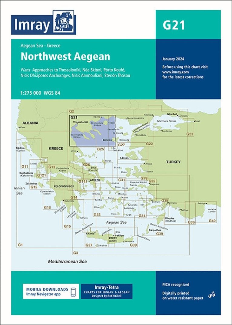
Plans:Porta CanalNéa SkioniNisís Diaporos AnchoragesNisís AmmoulianiStenón ThasouImray-Tetra charts for the Ionian and Aegean are widely acknowledged as the best available for the cruising sailor. They combine the latest official survey data with first-hand information gathered by Rod and Lucinda Heikell. The chart is designed to be used alongside Imray pilot guides of the area. Like all Imray charts, they are printed on water resistant Pretex paper for durability, and they include many anchorages, facilities and inlets not included on official charts.This edition includes the latest official data combined with additional information sourced from Imray's network to make it ideal for small craft. It includes the latest official bathymetric surveys. There has been general updating throughout.
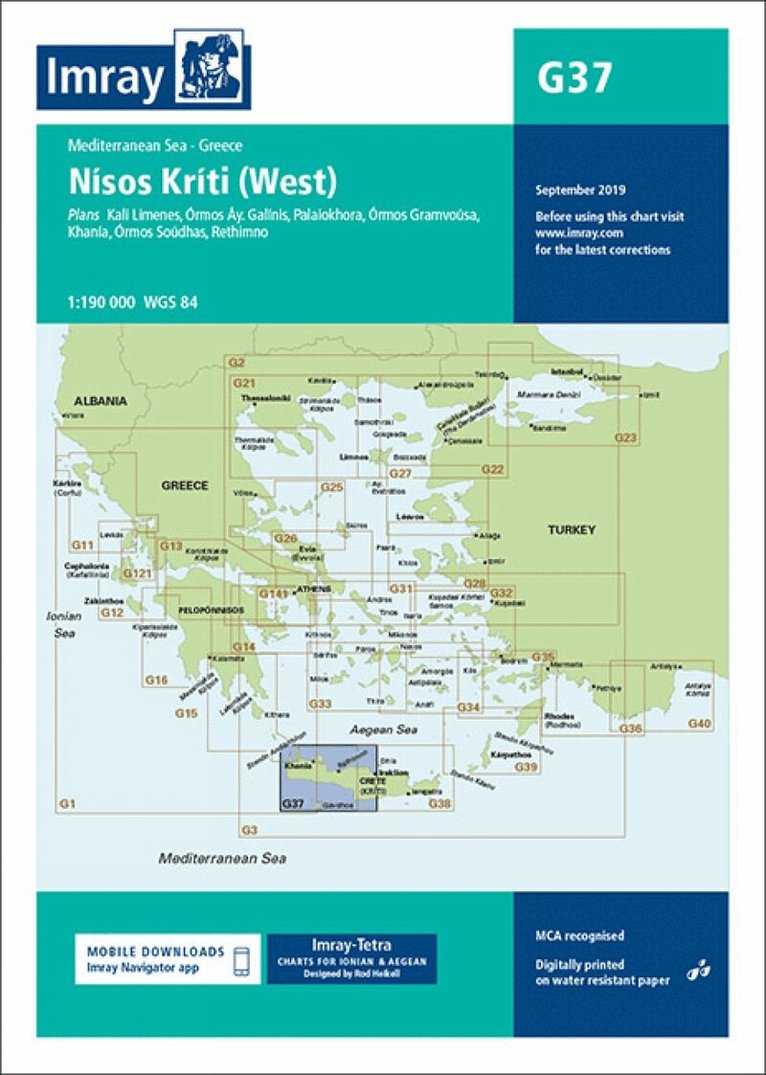
Plans included: Kali Limenes (1:12 500) Órmos Áy. Galínis (1:7500) Palaiokhora (1:15 000) Órmos Gramvoúsa (1:27 500) Khanía (1:7500) Órmos Soúdhas (1:100 000) Rethimno (1:15 000) On this 2017 edition the latest firing practice areas are shown. The chart specification has been improved to show coloured light flashes. There has been general updating throughout.
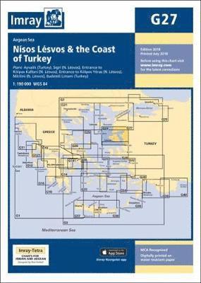
Plans included:Ayvalik (Turkey) (1:75 000)Sígri (N. Lésvos) (1:30 000) Entrance to Kólpos Kalloní (N. Lésvos) (1:30 000)Entrance to Kólpos Yéras (N. Lésvos) (1:40 000)Mitilíni (N. Lésvos) (1:10 000)Bademli Limani (Turkey) (1:40 000)Imray-Tetra charts for the Ionian and Aegean are widely acknowledged as the best available for the cruising sailor. They combine the latest official survey data with first-hand information gathered by Rod and Lucinda Heikell. The chart is designed to be used alongside Imray pilot guides of the area. Like all Imray charts, they are printed on water resistant Pretex paper for durability, and they include many anchorages, facilities and inlets not included on official charts.This edition includes the latest official data combined with additional information sourced from Imray's network to make it ideal for small craft. It includes the latest official bathymetric surveys. There has been general updating throughout.