
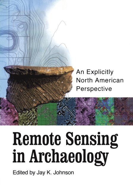
The coming of age of a technology first developed in the 1950s. All the money spent by the United States space program is not spent looking at the stars. NASA is composed of a vast and varied network of scientists across the academic spectrum involved in research and development programs that have wide application on planet Earth. Several of the leaders in the field of remote sensing and archaeology were recently brought together for a NASA-funded workshop in Biloxi, Mississippi. The workshop was organized specifically to show these archaeologists and cultural resource managers how close we are to being able to “see” under the dirt in order to know where to excavate before ever putting a shovel in the ground. As the book that resulted from this workshop demonstrates, this fantasy is quickly becoming a reality. In this volume, eleven archaeologists reveal how the broad application of remote sensing, and especially geophysical techniques, is altering the usual conduct of dirt archaeology. Using case studies that both succeeded and failed, they offer a comprehensive guide to remote sensing techniques on archaeological sites throughout North America. Because this new technology is advancing on a daily basis, the book is accompanied by a CD intended for periodic update that provides additional data and illustrations. with contributions by: R. Berle Clay, Lawrence B. Conyers, Rinita A. Dalan, Marco Giardino, Thomas J. Green, Michael L. Hargrave, Bryan S. Haley, Jay K. Johnson, Kenneth L. Kvamme, J. J. Lockhart, Lewis Somers
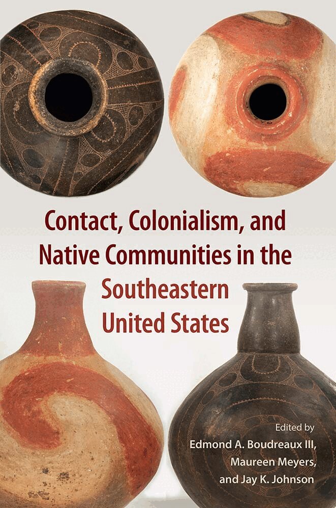
The years 1500–1700 AD were a time of dramatic change for the indigenous inhabitants of southeastern North America, yet Native histories during this era have been difficult to reconstruct due to a scarcity of written records before the eighteenth century. Using archaeology to enhance our knowledge of the period, Contact, Colonialism, and Native Communities in the Southeastern United States presents new research on the ways Native societies responded to early contact with Europeans.
The coming of age of a technology first developed in the 1950s. All the money spent by the United States space program is not spent looking at the stars. NASA is composed of a vast and varied network of scientists across the academic spectrum involved in research and development programs that have wide application on planet Earth. Several of the leaders in the field of remote sensing and archaeology were recently brought together for a NASA-funded workshop in Biloxi, Mississippi. The workshop was organized specifically to show these archaeologists and cultural resource managers how close we are to being able to “see” under the dirt in order to know where to excavate before ever putting a shovel in the ground. As the book that resulted from this workshop demonstrates, this fantasy is quickly becoming a reality. In this volume, eleven archaeologists reveal how the broad application of remote sensing, and especially geophysical techniques, is altering the usual conduct of dirt archaeology. Using case studies that both succeeded and failed, they offer a comprehensive guide to remote sensing techniques on archaeological sites throughout North America. Because this new technology is advancing on a daily basis, the book is accompanied by a CD intended for periodic update that provides additional data and illustrations. with contributions by: R. Berle Clay, Lawrence B. Conyers, Rinita A. Dalan, Marco Giardino, Thomas J. Green, Michael L. Hargrave, Bryan S. Haley, Jay K. Johnson, Kenneth L. Kvamme, J. J. Lockhart, Lewis Somers
The years 1500–1700 AD were a time of dramatic change for the indigenous inhabitants of southeastern North America, yet Native histories during this era have been difficult to reconstruct due to a scarcity of written records before the eighteenth century. Using archaeology to enhance our knowledge of the period, Contact, Colonialism, and Native Communities in the Southeastern United States presents new research on the ways Native societies responded to early contact with Europeans.