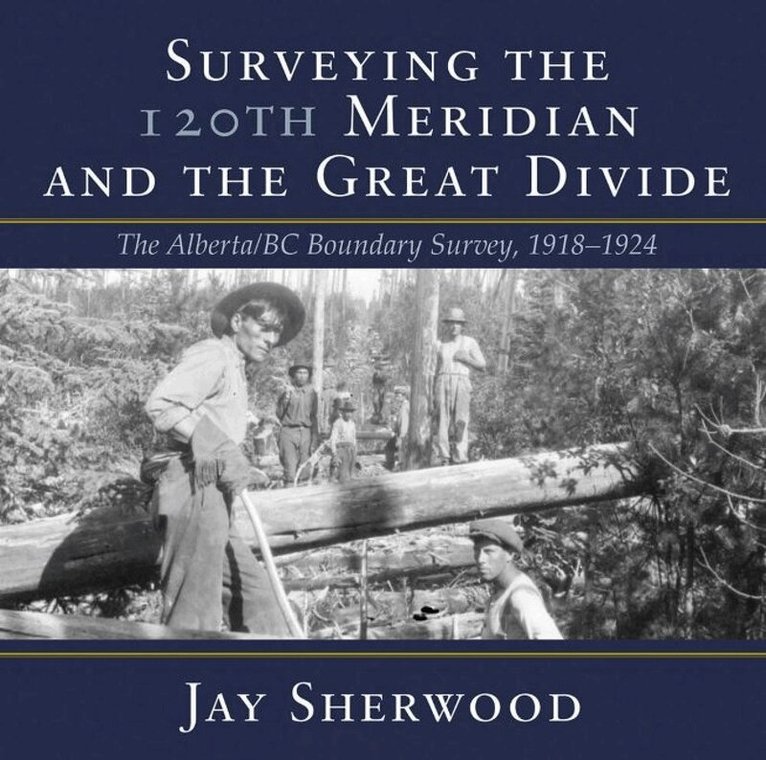
Surveying the 120th Meridian and the Great Divide is the second book of a two-part series describing the initial Alberta-BC boundary survey undertaken between 19131924. Surveying the 120th Meridian focuses on the years 19181924, when the Alberta crew continued the survey of the 120th meridian while the BC crew split off to continue mapping the Great (Continental) Divide. The Alberta-BC boundary survey was a unique Canadian project that combined talented surveyors, high-tech surveying equipment, rugged crew members and Canadian wilderness. This is a story of adventure and danger: the crew climbed mountains and surveyed from the peaks of the Canadian Rockies; slogged through the muskeg north of the Peace River; occasionally crossed rivers at high water; and often worked in the rain, snow or cold. The boundary survey produced the first detailed maps of the terrain along the divide and the first pictures of the northern Canadian Rockies taken from an airplane. But the most important legacy of this project is the collection of approximately 5,000 photographs developed from high-quality glass plate negatives. These photographs provide full panoramas of the Rocky Mountain landscape as it looked over a century ago. Surveying the 120th Meridian and the Great Divide combines the best of these photographs, diary entries and government documents to recount the astonishing journey of the surveyors and their crew members as they explored Canadas most dramatic landscape.
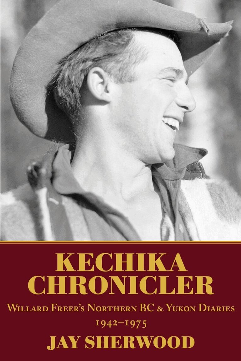
Willard Freer lived in remote areas of northern BC for most of his life. Born in Kamloops in 1910 and raised in the Peace River country, Freer came to the Kechika River valley in 1942, where he worked for a number of years with famed packer and guide Skook Davidson. He then built a cabin about 35 kilometres to the north and spent the rest of his life in the valley, and at Fireside, an Alaska Highway lodge near the junction of the Kechika and Liard rivers. By all accounts, Freer was a quiet, introverted person, who faithfully kept a daily diary from 1942 to 1975. Most of the entries are brief, but cumulatively they provide a detailed record of life in northern BC and southern Yukon Territory. Due to his proximity to the famed Alaska Highway and the historic Davie Trail, Willard encountered many of the Indigenous people who lived, worked and travelled through the Kechika valley, as well as casual visitors, bush pilots, government survey parties including the Geological Survey of Canada, major mining companies, and branches of the US Army in northern BC during World War II. Willard Freers diaries are the most extensive written record of daily life in one of the most remote regions of British Columbia. KECHIKA CHRONICLER provides a voice for his story.
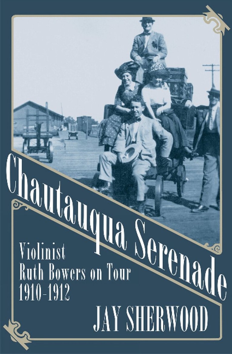
Ruth Bowers had a dream of becoming a professional violinist. In 1910, when traditional careers for women included nursing or teaching, Ruth joined the chautauqua and lyceum tour circuit and hit the road. In the first part of the twentieth century, these popular tours brought music, education and entertainment to millions of people in rural North America. But chautauquas and lyceums also provided employment and fame for many female lecturers and performers. At a time when women did not even have the right to vote, musicians like Ruth Bowers were travelling, becoming financially independent and expanding ideas of what women could do-they were part of the first wave of the women's liberation of the twentieth century. A remarkably talented violinist from Erie, Pennsylvania, Ruth Bowers performed at venues across North America, from the Atlantic to the Pacific Ocean, and from Texas to British Columbia. Ruth shared the bill with famous people like orator William Jennings Bryan, illusionist Eugene Laurant and impersonator Elma B. Smith. While on tour, Bowers collected photographs, postcards and memorabilia and sent letters home. Using this material from his family archives, along with newspaper articles from the 1900s and research files from the chautauqua collection at the University of Iowa, author-historian Jay Sherwood pieces together the unique life of his grandmother. With over 125 previously unpublished photographs and images, CHAUTAUQUA SERENADE offers readers a backstage pass to the iconic chautauqua tour through the eyes of a young woman with a big dream.
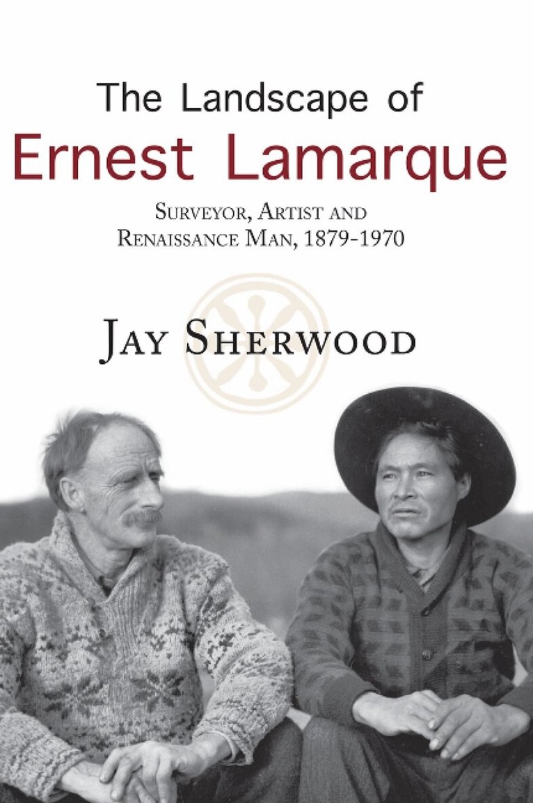
At the age of sixteen, Ernest Lamarque travelled from England to North America, to begin a life as a Victorian adventurer. Born in 1879 and orphaned at age twelve, he would go on to become an artist, a writer and a surveyor, creating some of the earliest visual records of the people of remote regions of Canada. At seventeen, Lamarque started working as a clerk at Hudson's Bay Company posts in Saskatchewan, Alberta, British Columbia and the Northwest Territories. He recorded his adventures through paintings, sketches and photographs, which would later become invaluable historical resources -- the artwork and photography he created during his three years at the Ile-a-la-Crosse district, for example, are among the earliest visual records of the Metis of the area. As one of British Columbia's best-known surveyors, he located a route across northern BC during the Bedaux Expedition. He also travelled along and photographed the historic First Nations Davie Trail as part of his work on the location of the initial Alaska Highway. In 1914, Lamarque participated in the important D A Thomas coal transportation survey in northern Alberta that was halted by the start of World War I. This book reveals remote regions of western Canada and its people and places through the eyes of a self-taught man. Utilising unpublished artwork, photographs and written accounts, author Jay Sherwood tells the story of Lamarque's varied, unusual and interesting life.
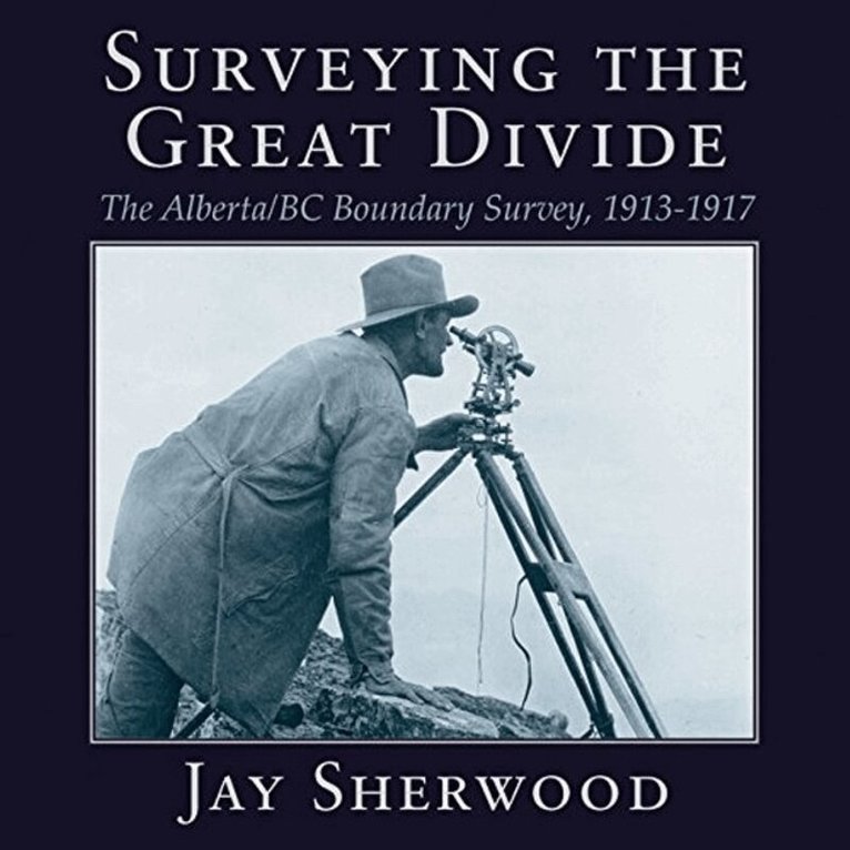
In 1917, during Canadas 50th anniversary, there was little celebration in the country as it entered the fourth year of World War I. This conflict had a tremendous economic and emotional impact on the various levels of government in the country and on the lives of many people in Canada. In western Canada, despite the turmoil and uncertain outcome of the war, one of the countrys major surveying projects continued. In 1913 the Alberta, British Columbia, and Dominion governments began surveying and marking the boundary between the two provinces along the Rocky Mountains. British Columbias representative, A O Wheeler, scaled many of the peaks along the Great Divide and did the phototopographic surveying. R W Cautley, the representative for the Alberta and Dominion governments, mapped the boundary through the economically important mountain passes. During the years of 1913-1917, the Boundary Commission surveyors mainly covered the area from Kicking Horse Pass to the United States border.
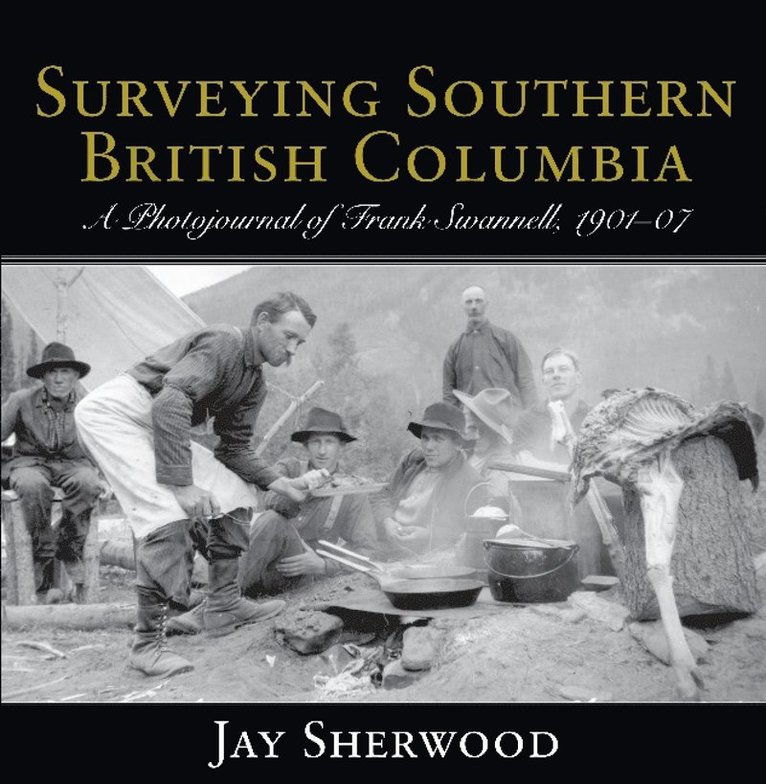
Jay Sherwood's fourth and final book about prominent BC surveyor Frank Swannell, covers the years from 1901 to 1907, before Swannell began surveying for the BC government. Gore & McGregor, one of the leading surveying companies in the province, hired Swannell to work on projects throughout southern British Columbia from the Rocky Mountains to the west coast of Vancouver Island, and from the international boundary as far north as Quesnel in the Cariboo and Bella Coola on the BC coast. Swannell's work had a significant impact on events that shaped our province's history including the search for oil, the Pacific cable survey, the early timber licence surveys for the pulp and paper mill at Ocean Falls and the controversial CPR land grants through southern BC. Yet Swannell was more than a surveyor - he was an accomplished and talented photographer, documenting the development of our province through his compass, his measurements and his lens.SURVEYING SOUTHERN BRITISH COLUMBIA contains 150 stunning photographs that portray human settlement and untamed wilderness in what were the most remote areas of our young province. Sherwood also includes Swannell's courtship letters to Ada Driver, which provide delightful details about the life of a surveyor in the field. Sherwood's meticulous research portrays the life and career of a young Swannell as he perfects his skills and profits from his mistakes, while helping to shape BC as we knowit today. SURVEYING SOUTHERN BRITISH COLUMBIA makes a significant contribution to the history of our province and is a well-crafted conclusion to this important series.