Häftad, Engelska, 2026
197 kr
Skickas
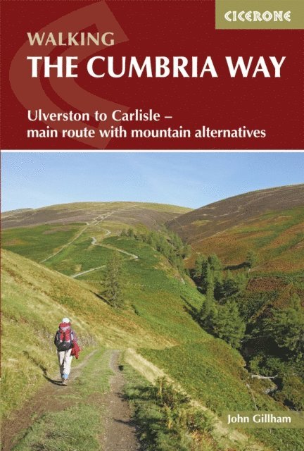
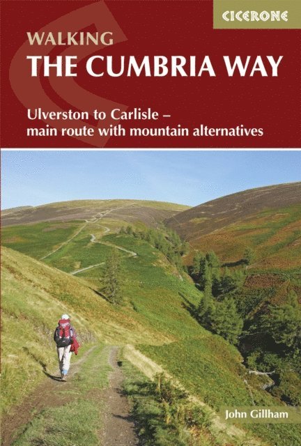
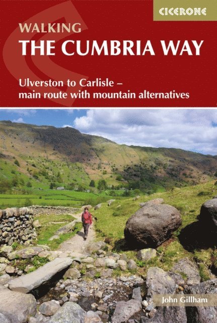
Discover the Cumbria Way, a rewarding long-distance walking route spanning 117 km (73 miles) through the heart of the Lake District National Park from Ulverston in the south to Carlisle in the north. Typically completed in 5 to 8 days, this classic trail follows gently rolling valley paths with optional high-level alternatives, offering a memorable multi-day journey that blends manageable walking with dramatic views of lakes, mountains, and quiet Cumbrian countryside. This expertly crafted Cicerone guidebook, written by seasoned author John Gillham, equips you with everything needed to plan, prepare, and enjoy the Cumbria Way with confidence. Combining clear route descriptions, helpful mapping, practical planning tools, and insightful background on the region’s landscapes and attractions, it is the ideal companion for walkers tackling this classic long-distance walking trail. The route is split into five stages (19 – 26km) with detailed route descriptions and 1:50,000 OS mapping to help you keep on track through the Lake District Alternative mountain routes are included, offering optional high-level days over iconic upland terrain such as the Coniston Fells, Glaramara and Skiddaw, for walkers seeking more challenging summit experiencesRoute summary and facilities tables detail accommodation, refreshments and public transport at key towns and villages along the route, such as Ulverston, Coniston, Great Langdale, Keswick, Caldbeck and CarlisleGPX files are available to download as a digital navigation alternative for the Cumbria WayInsights on when to go, with safety notes for poor weather and winter considerations for tackling Stake Pass and High Pike, are included From the quaint town of Ulverston, the Cumbria Way allows you to traverse the entire Lake District on a walk that combines mostly valley walking with the chance to add more dramatic mountain sections for fit, adventurous hikers. This guidebook gives you the tools and confidence to explore the full breadth of scenery, heritage, and character that make the Cumbria Way a standout long-distance route in northern England.