Martin Plamondon II – författare
Visar alla böcker från författaren Martin Plamondon II. Handla med fri frakt och snabb leverans.
3 produkter
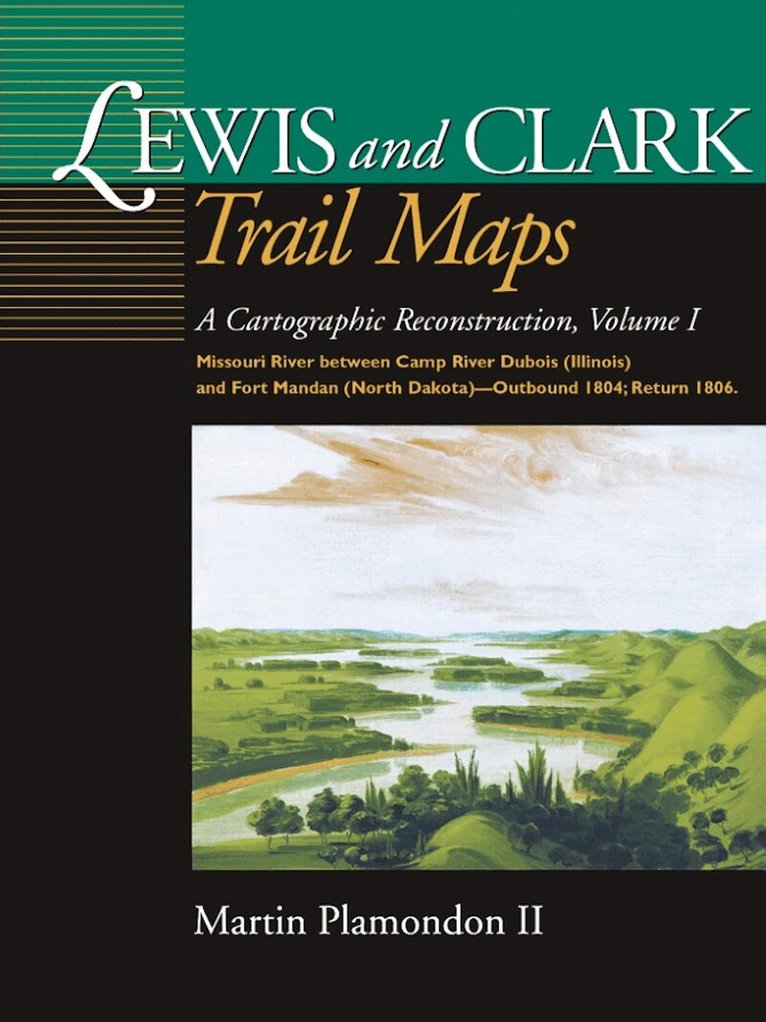
Lewis and Clark Trail Maps
A Cartographic Reconstruction, Volume I: Missouri River Between Camp River Dubois (Illinois) and Fort Mandan (North Dakota) - Outbound 1804; Return 1806
Inbunden, 2000
353 kr
Lägg i varukorg
The Lewis and Clark Expedition bicentennial is producing an unprecedented flurry of interest in the United States, and an array of commemorative activities are being planned in the regions visited by the Corps of Discovery.During the 28-month trek (1804-06), Captain William Clark dutifully surveyed …
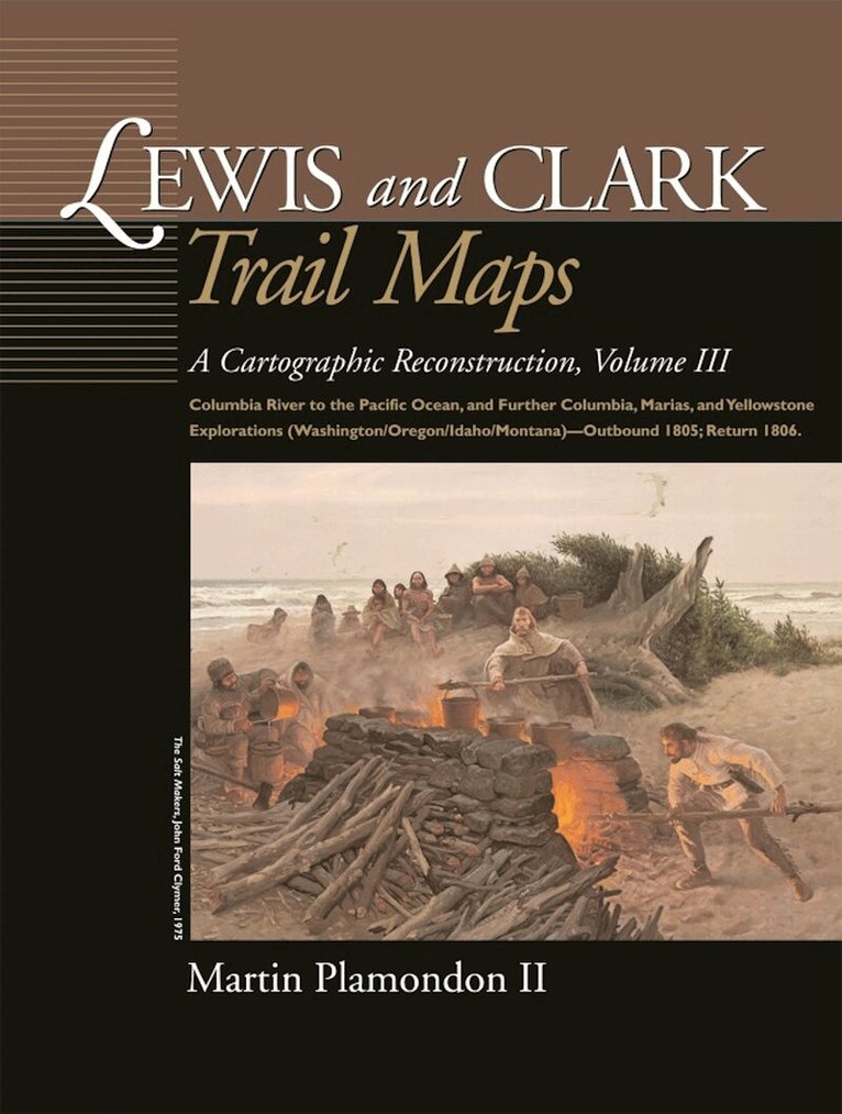
Lewis and Clark Trail Maps
A Cartographic Reconstruction, Volume III: Columbia River to the Pacific Ocean, and Further Columbia, Marias, and Yellowstone Explorations (Washington/Oregon/Idaho/Montana) - Outbound 1805; Return 1806
Inbunden, 2004
353 kr
Lägg i varukorg
After crossing the Bitterroot Range and canoeing down the cataract-filled Snake River, the Corps of Discovery finally reached the long-sought Columbia River in the autumn of 1805. Volume III continues the cartographic reconstruction of the explorers' trek as they set out from the Snake-Columbia …
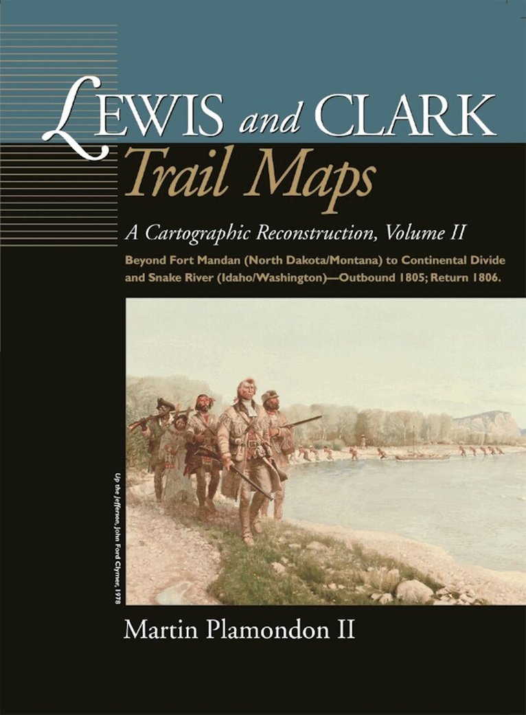
Lewis and Clark Trail Maps
A Cartographic Reconstruction, Volume II: Beyond Fort Mandan (North Dakota/Montana) to Continental Divide and Snake River (Idaho/Washington) - Outbound 1805; Return 1806
Inbunden, 2002
353 kr
Tillfälligt slut
In Volume II, Martin Plamondon presents a cartographic reconstruction of the Corps of Discovery's trek across the northwestern United States in 1805-06. Beginning a short distance above Fort Mandan, 190 maps depict the explorers' route on the Missouri River in North Dakota and Montana, over the …