Massimo De Marchi – författare
Visar alla böcker från författaren Massimo De Marchi. Handla med fri frakt och snabb leverans.
3 produkter
3 produkter
Inbunden, Engelska, 2022
2 433 kr
Skickas inom 10-15 vardagar
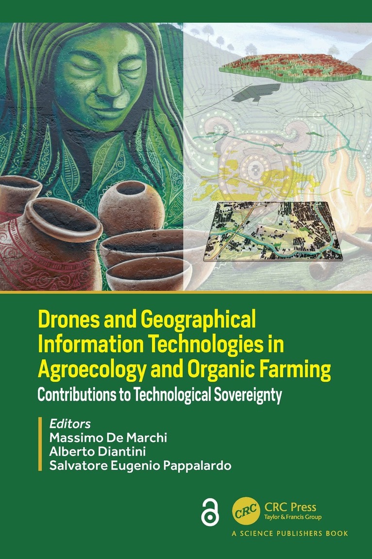
Although organic farming and agroecology are normally not associated with the use of new technologies, it’s rapid growth, new technologies are being adopted to mitigate environmental impacts of intensive production implemented with external material and energy inputs. GPS, satellite images, GIS, drones, help conventional farming in precision supply of water, pesticides, fertilizers. Prescription maps define the right place and moment for interventions of machinery fleets. Yield goal remains the key objective, integrating a more efficient use or resources toward an economic-environmental sustainability. Technological smart farming allows extractive agriculture entering the sustainability era. Societies that practice agroecology through the development of human-environmental co-evolutionary systems represent a solid model of sustainability. These systems are characterized by high-quality agroecosystems and landscapes, social inclusion, and viable economies.This book explores the challenges posed by the new geographic information technologies in agroecology and organic farming. It discusses the differences among technology-laden conventional farming systems and the role of technologies in strengthening the potential of agroecology. The first part reviews the new tools offered by geographic information technologies to farmers and people. The second part provides case studies of most promising application of technologies in organic farming and agroecology: the diffusion of hyperspectral imagery, the role of positioning systems, the integration of drones with satellite imagery. The third part of the book, explores the role of agroecology using a multiscale approach from the farm to the landscape level. This section explores the potential of Geodesign in promoting alliances between farmers and people, and strengthening food networks, whether through proximity urban farming or asserting land rights in remote areas in the spirit of agroecological transition. The Open Access version of this book, available at www.taylorfrancis.com, has been made available under a Creative Commons 4.0 license.
Häftad, Engelska, 2024
1 009 kr
Skickas inom 10-15 vardagar
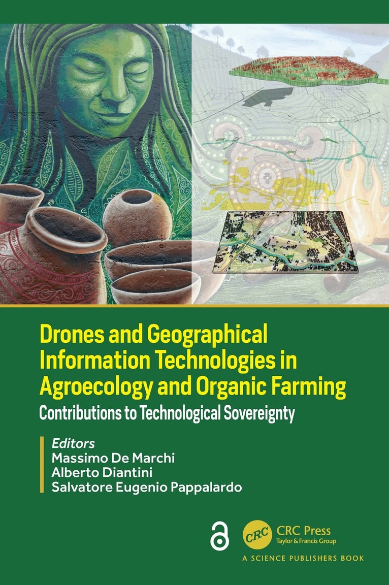
Although organic farming and agroecology are normally not associated with the use of new technologies, it’s rapid growth, new technologies are being adopted to mitigate environmental impacts of intensive production implemented with external material and energy inputs. GPS, satellite images, GIS, drones, help conventional farming in precision supply of water, pesticides, fertilizers. Prescription maps define the right place and moment for interventions of machinery fleets. Yield goal remains the key objective, integrating a more efficient use or resources toward an economic-environmental sustainability. Technological smart farming allows extractive agriculture entering the sustainability era. Societies that practice agroecology through the development of human-environmental co-evolutionary systems represent a solid model of sustainability. These systems are characterized by high-quality agroecosystems and landscapes, social inclusion, and viable economies.This book explores the challenges posed by the new geographic information technologies in agroecology and organic farming. It discusses the differences among technology-laden conventional farming systems and the role of technologies in strengthening the potential of agroecology. The first part reviews the new tools offered by geographic information technologies to farmers and people. The second part provides case studies of most promising application of technologies in organic farming and agroecology: the diffusion of hyperspectral imagery, the role of positioning systems, the integration of drones with satellite imagery. The third part of the book, explores the role of agroecology using a multiscale approach from the farm to the landscape level. This section explores the potential of Geodesign in promoting alliances between farmers and people, and strengthening food networks, whether through proximity urban farming or asserting land rights in remote areas in the spirit of agroecological transition. The Open Access version of this book, available at www.taylorfrancis.com, has been made available under a Creative Commons 4.0 license.
E-bok
PDF, Spanska, 2018102 kr
Läs direkt efter köp
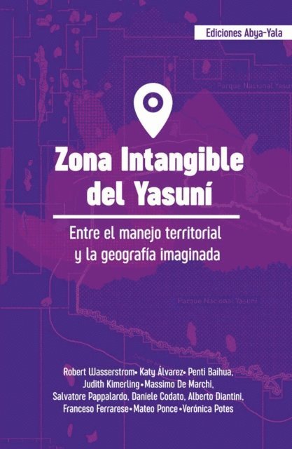
La Zona Intangible del Yasuní se delimitó de acuerdo a los límites de los bloques petroleros, mas no de acuerdo a las necesidades territoriales de sus habitantes. En febrero de 2018 se incluyó, en consulta popular (febrero 2018), la ampliación de esta zona para complacer una demanda de grupos ecologistas y ambientalistas principalmente. No es fácil pues el territorio cada vez es más complicado y los intereses superpuestos son mayores. En estos años, las presiones sobre el territorio del Yasuní han aumentado, se han abierto más arterias viales y se ha construido más infraestructura tanto para la industria como para los campesinos mestizos con quienes los gobiernos locales quieren congraciarse pues significan votos en las urnas.Para analizar este panorama, esta publicación quiere contribuir, desde diversos puntos de vista, a la reflexión sobre este tema. Y es concluyente en un punto fundamental: no hay ampliación que garantice la vida de los pueblos indígenas llamados aislados, si no hay políticas que la sostengan.