Ordnance Survey – författare
Visar alla böcker från författaren Ordnance Survey. Handla med fri frakt och snabb leverans.
979 produkter
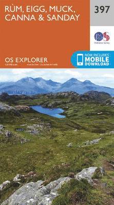
Rum, Eigg, Muck, Canna and Sanday
2015
167 kr
Lägg i varukorg
OS Explorer is the Ordnance Survey's most detailed map and is recommended for anyone enjoying outdoor activities like walking, horse riding and off-road cycling. The OS Explorer range now includes a digital version of the paper map, accessed through the OS smartphone app, OS Maps. Providing …
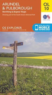
Arundel & Pulborough, Worthing & Bognor Regis
2015
167 kr
Lägg i varukorg
OS Explorer is the Ordnance Survey's most detailed map and is recommended for anyone enjoying outdoor activities like walking, horse riding and off-road cycling. The OS Explorer range of OL maps now includes a digital version of the paper map, accessed through the OS smartphone app, OS Maps. …
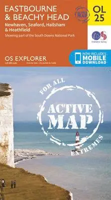
Eastbourne & Beachy Head, Newhaven, Seaford, Hailsham & Heathfield
2015
217 kr
Lägg i varukorg
OS Explorer is the Ordnance Survey's most detailed map and is recommended for anyone enjoying outdoor activities such as walking, horse riding and off-road cycling. The series provides complete GB coverage and can now be used in all weathers thanks to OS Explorer - Active, a tough, versatile …
Ben Nevis and Fort William, the Mamores and the Grey Corries, Kinlochleven and Spean Bridge
2015
167 kr
Lägg i varukorg
OS Explorer is the Ordnance Survey's most detailed map and is recommended for anyone enjoying outdoor activities like walking, horse riding and off-road cycling. The OS Explorer range now includes a digital version of the paper map, accessed through the OS smartphone app, OS Maps. Providing …
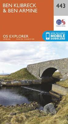
Ben Kilbreck and Ben Armine
2015
167 kr
Lägg i varukorg
OS Explorer is the Ordnance Survey's most detailed map and is recommended for anyone enjoying outdoor activities like walking, horse riding and off-road cycling. The OS Explorer range now includes a digital version of the paper map, accessed through the OS smartphone app, OS Maps. Providing …
Solent & the Isle of Wight, Southampton & Portsmouth
2016
217 kr
Lägg i varukorg
The OS Landranger Active Map series covers Great Britain with 204 detailed maps, perfect for day trips and short breaks. Tough, durable and weatherproof, covered in a lightweight protective plastic coating that can be written on, so that your favourite routes can be easily highlighted. Each map …
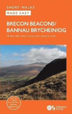
Brecon Beacons
Häftad, 2024
118 kr
Lägg i varukorg
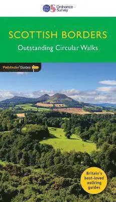
Each walk features a simple-to-follow route profile and accompanying description and pictures, and new-look walk mapping that makes it easier for the user to focus on the route and the points of interest along the way.
Meon Valley, Portsmouth, Gosport & Fareham
2015
167 kr
Lägg i varukorg
OS Explorer is the Ordnance Survey's most detailed map and is recommended for anyone enjoying outdoor activities like walking, horse riding and off-road cycling. The OS Explorer range of OL maps now includes a digital version of the paper map, accessed through the OS smartphone app, OS Maps. …
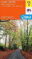
Chichester, South Harting & Selsey
2015
167 kr
Lägg i varukorg
OS Explorer is the Ordnance Survey's most detailed map and is recommended for anyone enjoying outdoor activities like walking, horse riding and off-road cycling. The OS Explorer range of OL maps now includes a digital version of the paper map, accessed through the OS smartphone app, OS Maps. …
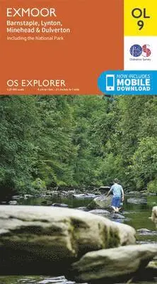
Exmoor, Barnstaple, Lynton, Minehead & Dulverton
2015
167 kr
Lägg i varukorg
OS Explorer is the Ordnance Survey's most detailed map and is recommended for anyone enjoying outdoor activities like walking, horse riding and off-road cycling. The OS Explorer range of OL maps now includes a digital version of the paper map, accessed through the OS smartphone app, OS Maps. …
Brecon Beacons National Park / Parc Cenedlaethol Bannau Brycheiniog - Western Area / Ardal Gorllewinol
2015
167 kr
Lägg i varukorg
OS Explorer is the Ordnance Survey's most detailed map and is recommended for anyone enjoying outdoor activities like walking, horse riding and off-road cycling. The OS Explorer range of OL maps now includes a digital version of the paper map, accessed through the OS smartphone app, OS Maps. …
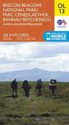
Brecon Beacons National Park / Parc Cenedlaethol Bannau Brycheiniog - Eastern Area / Ardal Ddwyreiniol
2015
167 kr
Lägg i varukorg
OS Explorer is the Ordnance Survey's most detailed map and is recommended for anyone enjoying outdoor activities like walking, horse riding and off-road cycling. The OS Explorer range of OL maps now includes a digital version of the paper map, accessed through the OS smartphone app, OS Maps. …
Purbeck & South Dorset, Poole, Dorchester, Weymouth & Swanage
2015
167 kr
Lägg i varukorg
OS Explorer is the Ordnance Survey's most detailed map and is recommended for anyone enjoying outdoor activities like walking, horse riding and off-road cycling. The OS Explorer range of OL maps now includes a digital version of the paper map, accessed through the OS smartphone app, OS Maps. …
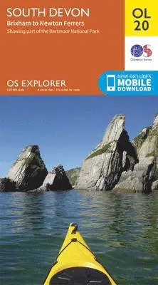
South Devon, Brixham to Newton Ferrers
2015
167 kr
Lägg i varukorg
OS Explorer is the Ordnance Survey's most detailed map and is recommended for anyone enjoying outdoor activities like walking, horse riding and off-road cycling. The OS Explorer range of OL maps now includes a digital version of the paper map, accessed through the OS smartphone app, OS Maps. …
South Pennines, Burnley, Hebden Bridge, Keighley & Todmorden
2015
167 kr
Lägg i varukorg
OS Explorer is the Ordnance Survey's most detailed map and is recommended for anyone enjoying outdoor activities like walking, horse riding and off-road cycling. The OS Explorer range of OL maps now includes a digital version of the paper map, accessed through the OS smartphone app, OS Maps. …
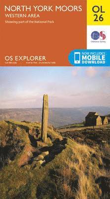
North York Moors - Western Area
2015
167 kr
Lägg i varukorg
OS Explorer is the Ordnance Survey's most detailed map and is recommended for anyone enjoying outdoor activities like walking, horse riding and off-road cycling. The OS Explorer range of OL maps now includes a digital version of the paper map, accessed through the OS smartphone app, OS Maps. …
North York Moors - Eastern Area
2015
167 kr
Lägg i varukorg
OS Explorer is the Ordnance Survey's most detailed map and is recommended for anyone enjoying outdoor activities like walking, horse riding and off-road cycling. The OS Explorer range of OL maps now includes a digital version of the paper map, accessed through the OS smartphone app, OS Maps. …
North Pennines - Teesdale & Weardale
2015
167 kr
Lägg i varukorg
OS Explorer is the Ordnance Survey's most detailed map and is recommended for anyone enjoying outdoor activities like walking, horse riding and off-road cycling. The OS Explorer range of OL maps now includes a digital version of the paper map, accessed through the OS smartphone app, OS Maps. …
Crawley & Horsham, Cranleigh & Billingshurst
2015
167 kr
Lägg i varukorg
OS Explorer is the Ordnance Survey's most detailed map and is recommended for anyone enjoying outdoor activities like walking, horse riding and off-road cycling. The OS Explorer range of OL maps now includes a digital version of the paper map, accessed through the OS smartphone app, OS Maps. …