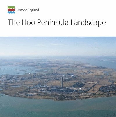
The Hoo Peninsula is located on the north Kent coast 30 miles east of Central London. This book raises awareness of the positive contribution that the historic environment makes to the Hoo Peninsula by describing how changing patterns of land use and maritime activity over time have given this landscape and seascape its distinctive character. It uses new information, which involved historic landscape, seascape and farmstead characterisation, aerial photographic mapping and analysis, area assessment of the buildings, detailed survey of key sites and other desk-based research. It takes a thematic view of the major influences on the history and development of the Hoo Peninsula and demonstrates the role that the Peninsula plays in the national story. The book is an important step towards changing the perception that the Hoo Peninsula is an out-of-the-way area, scarred by past development, where the landscape has no heritage value and major infrastructure can be developed with minimum objection.
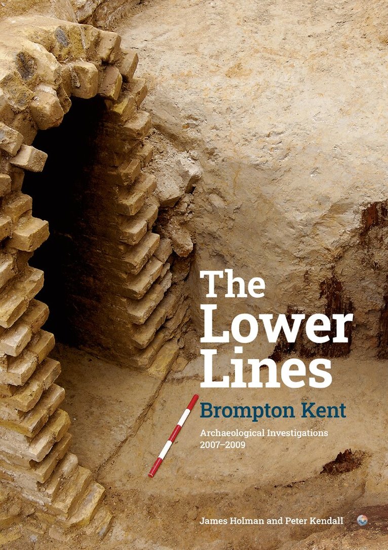
The Lower Lines formed a key part of the defences of Chatham Dockyard during the early part of the nineteenth century. While they were never used in combat, they became the focus for siege training during the later part of the century, and for the development of innovative new military technologies by the Royal Engineers. Latterly they were repurposed during the Second World War as part of the land defences for the Nore Command. The archaeological work undertaken between 2007 and 2009 focussed on two sites, at Mid Kent College and the Black Lion Leisure Centre. This work allowed study of the defences, but also provided an opportunity to investigate how the Royal Engineers were using the area. They constructed elaborate siege exercises, involving many hundreds of men while also experimenting with new technologies such as electric searchlights. The archaeology together with contemporary records allow an intimate picture of what was taking place on the site throughout the nineteenth and into the twentieth centuries.
The Hoo Peninsula is located on the north Kent coast 30 miles east of Central London. This book raises awareness of the positive contribution that the historic environment makes to the Hoo Peninsula by describing how changing patterns of land use and maritime activity over time have given this landscape and seascape its distinctive character. It uses new information, which involved historic landscape, seascape and farmstead characterisation, aerial photographic mapping and analysis, area assessment of the buildings, detailed survey of key sites and other desk-based research. It takes a thematic view of the major influences on the history and development of the Hoo Peninsula and demonstrates the role that the Peninsula plays in the national story. The book is an important step towards changing the perception that the Hoo Peninsula is an out-of-the-way area, scarred by past development, where the landscape has no heritage value and major infrastructure can be developed with minimum objection.
The Lower Lines formed a key part of the defences of Chatham Dockyard during the early part of the nineteenth century. While they were never used in combat, they became the focus for siege training during the later part of the century, and for the development of innovative new military technologies by the Royal Engineers. Latterly they were repurposed during the Second World War as part of the land defences for the Nore Command. The archaeological work undertaken between 2007 and 2009 focussed on two sites, at Mid Kent College and the Black Lion Leisure Centre. This work allowed study of the defences, but also provided an opportunity to investigate how the Royal Engineers were using the area. They constructed elaborate siege exercises, involving many hundreds of men while also experimenting with new technologies such as electric searchlights. The archaeology together with contemporary records allow an intimate picture of what was taking place on the site throughout the nineteenth and into the twentieth centuries.