Roger J. P. Kain – författare
Visar alla böcker från författaren Roger J. P. Kain. Handla med fri frakt och snabb leverans.
5 produkter
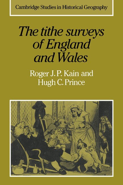
The Tithe Surveys of England and Wales
Av Roger J. P. Kain, Hugh C. Prince
Häftad, 2006
574 kr
Lägg i varukorg
The rural landscape of England and Wales in the mid-nineteenth century is minutely depicted in the large-scale plans and schedules drawn for the Tithe Commissioners. Among other features shown on the maps are field boundaries and rights of way, whilst the accompanying schedules record the names of …
An Atlas and Index of the Tithe Files of Mid-Nineteenth-Century England and Wales
Häftad, 2011
1022 kr
Lägg i varukorg
The tithe surveys of the early Victorian Age, after the great Domesday Book of the eleventh century, represent the most detailed and important national inventory to be taken before our own times. This 1986 book reconstructs elements of mid-nineteenth-century rural landscapes and farming systems by …
The Enclosure Maps of England and Wales 1595-1918
A Cartographic Analysis and Electronic Catalogue
Av Roger J. P. Kain, John Chapman m. fl.
Häftad, 2011
1082 kr
Lägg i varukorg
This book offered the first comprehensive study of the enclosure mapping of England and Wales. Enclosure maps are fundamental sources of evidence in many types of historical inquiries. Although modern historians tend to view these large-scale maps essentially as sources of data on past economies …
The Tithe Maps of England and Wales
A Cartographic Analysis and County-by-County Catalogue
Av Roger J. P. Kain, Richard R. Oliver
Häftad, 2011
1509 kr
Lägg i varukorg
The tithe surveys of mid-nineteenth-century England and Wales marked a new departure in government-sponsored, cadastral surveying of the nation's land. The 11,800 large-scale, detailed maps which they comprise are recognised as one of the most important sets of manuscript historical sources used by …
The Tithe Maps of England and Wales
A Cartographic Analysis and County-by-County Catalogue
Av Roger J. P. Kain, Richard R. Oliver
Inbunden, 1995
4630 kr
Lägg i varukorg
The tithe surveys of mid-nineteenth-century England and Wales marked a new departure in government-sponsored, cadastral surveying of the nation's land. The 11,800 large-scale, detailed maps which they comprise are recognised as one of the most important sets of manuscript historical sources used by …