Stephanie Miles – författare
186 kr
Skickas inom 3-6 vardagar
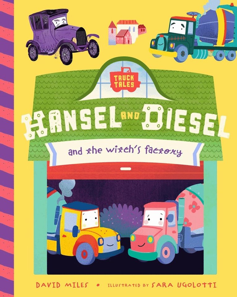
For kids who love all things cars and trucks comes the latest in the Truck Tales series! Hansel and Diesel's father is the village's hardworking cement mixer. But when deliveries of cement suddenly stop, Papa Truck can't work. Who will fix the roads? What about the sidewalks? Hansel and Diesel set off to investigate and get lost deep in the woods and imprisoned by a witch. But it's not for nothing that Hansel and Diesel are the bravest, cleverest trucks in all the land. Quick thinking, courage, and a little cement save the day in this hilarious mixed-up fairytale!
107 kr
Skickas
193 kr
Skickas inom 3-6 vardagar
199 kr
Skickas inom 3-6 vardagar
215 kr
Skickas inom 3-6 vardagar
1 261 kr
Skickas inom 5-8 vardagar
680 kr
Skickas
673 kr
Läs direkt efter köp
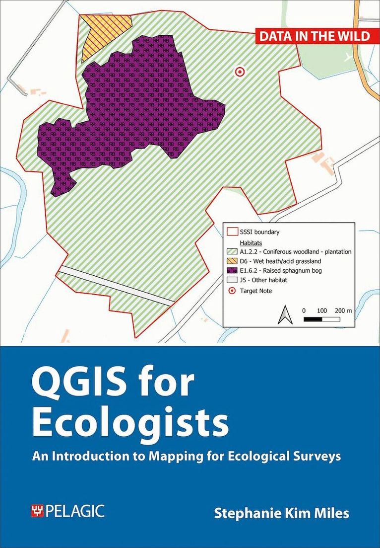
This book teaches the basic stages of mapping for ecological projects. It uses QGIS, an open source system, as this is the most accessible platform to produce maps for reports. The book guides the beginner mapmaker through production of maps for the day-to-day projects of ecologists working in consultancy. If you don’t know where to start or how to use QGIS, this is the practical guide for you. There is no jargon, just everything you require to create the desired maps and to extract from them all the information that you’ll need for reporting.
You will learn how to create several different sorts of maps frequently employed in ecological reports: - basic survey map - aerial imagery survey map - designated sites map - desk-study map - protected species map - habitats map
As a part of this you will also discover how to download third-party maps and datasets, create your own data, geo-reference images and import GPX files into QGIS. Weblinks allow access to downloadable data for use in producing the maps described. The book also includes workflows that you can emulate for your own projects, ensuring that it will remain a helpful tool long after you have completed all the exercises.
Ideal for those working in ecological consultancy and conservation, as well as students with an understanding of ecology and surveying but no background or training in QGIS, this handy book will also be a great help to those needing to refresh their GIS skills and/or looking for workflows to follow.
1 177 kr
Läs direkt efter köp
This book teaches the basic stages of mapping for ecological projects. It uses QGIS, an open source system, as this is the most accessible platform to produce maps for reports. The book guides the beginner mapmaker through production of maps for the day-to-day projects of ecologists working in consultancy. If you don’t know where to start or how to use QGIS, this is the practical guide for you. There is no jargon, just everything you require to create the desired maps and to extract from them all the information that you’ll need for reporting.
You will learn how to create several different sorts of maps frequently employed in ecological reports: - basic survey map - aerial imagery survey map - designated sites map - desk-study map - protected species map - habitats map
As a part of this you will also discover how to download third-party maps and datasets, create your own data, geo-reference images and import GPX files into QGIS. Weblinks allow access to downloadable data for use in producing the maps described. The book also includes workflows that you can emulate for your own projects, ensuring that it will remain a helpful tool long after you have completed all the exercises.
Ideal for those working in ecological consultancy and conservation, as well as students with an understanding of ecology and surveying but no background or training in QGIS, this handy book will also be a great help to those needing to refresh their GIS skills and/or looking for workflows to follow.
107 kr
Skickas inom 7-10 vardagar
234 kr
Tillfälligt slut