Terry Marsh – författare
224 kr
Skickas
128 kr
Skickas
163 kr
Skickas
163 kr
Skickas
100 kr
Skickas
155 kr
Skickas
177 kr
Läs direkt efter köp
235 kr
Läs direkt efter köp
227 kr
Läs direkt efter köp
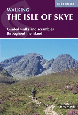
A guidebook to 87 walks and scrambles on the Isle of Skye. Covering the largest island in the Inner Hebrides, the walks are suitable for most walkers, with shorter routes alongside plenty of more challenging, full-day hikes.
The routes range from 2 to 23km (1–15 miles) and can be combined to create longer days out. Eight routes include scrambles, which are clearly indicated in the book.
1:50,000 OS maps are included for each route Detailed information on facilities, accommodation, history and geology Easy access from Portree and Broadford Highlights include routes in the Cuillin and Munro ascents243 kr
Läs direkt efter köp
201 kr
Läs direkt efter köp
201 kr
Läs direkt efter köp
235 kr
Läs direkt efter köp
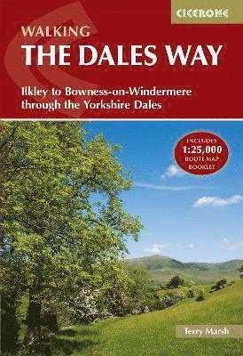
A guidebook to the Dales Way between Ilkley and Bowness-on-Windermere. Taking in the Yorkshire Dales and the Lake District National Park this week-long 128km (79 mile) walk is a perfect introduction to a multi-day hike.
The route is presented in 6 stages between 11 and 31km (7–19 miles) in length and described from south to north, a summary description is also provided for those wanting to walk in the opposite direction. The Watershed variant between Wharfedale and Dentdale is included.
Contains step-by-step description of the route alongside 1:100,000 OS maps Includes a separate map booklet containing OS 1:25,000 mapping and route line The book features a trek planner that highlights information about accommodation, facilities and public transport along the route Full accommodation listings are included232 kr
Läs direkt efter köp
A guidebook to walking the Severn Way between the River Severn’s source at Powys and Bristol. Covering 344km (215 miles), this long-distance walk through the counties of Powys, Shropshire, Worcestershire and Gloucestershire takes around 3 weeks to hike and is suitable for all reasonably fit walkers.
The route is described from north to south in 22 stages, each between 6 and 23km (4–15 miles) in length. A variant route to the source of the river via Plynlimon and a link route from Severn Beach to Bristol city centre are also included.
1:50,000 OS maps included for each stage Detailed information on facilities and accommodation on route Advice on planning and preparation Highlights include Hafren Forest200 kr
Läs direkt efter köp
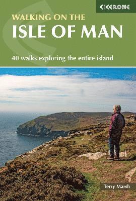
A guidebook to 40 walks exploring the Isle of Man. Covering the whole island, including the mountains, coast and National Glens, there are walks to suit all abilities, from shorter low-level routes to longer and more demanding excursions.
With many walks accessible by public transport, the routes range from 2 to 23km (1–14 miles) and take in waterfalls, historical sites of interest and the island’s highest mountains, Snaefell and North and South Barrule.
1:50,000 OS maps, reproduced at 1:40,000, included for each walkSized to easily fit in a jacket pocketNotes on refreshments and parkingInformation on local geology, history, culture, plants and wildlifeBrief summaries of five longer routes, including the 153km (95 mile) Raad ny Foillan (Isle of Man Coast Path, covered in a separate Cicerone guide)173 kr
Skickas
189 kr
Skickas
103 kr
Skickas
Walking the Severn Way
215 miles from the River Severn's source in Powys to Severn Beach near Bristol
195 kr
Skickas
195 kr
Skickas
127 kr
Skickas
217 kr
Kommande
162 kr
Kommande
127 kr
Skickas
249 kr
Läs direkt efter köp
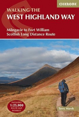
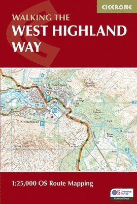
A guidebook to walking the West Highland Way, one of Scotland’s Great Trails. Covering 156km (96 miles) from Milngavie to Fort William, the route is suitable for walkers of most abilities and takes around a week to complete.
The trail is described from south to north in 7 stages of between 14 and 33km (9–20 miles).
Contains step-by-step description of the route alongside 1:100,000 maps GPX files available to download Includes a separate map booklet containing OS 1:25,000 mapping with the route line A handy trek planner highlights the availability of facilities and public transport along the route Accommodation table provided134 kr
Läs direkt efter köp
Would you like to explore the best of the Isle of Mull? This guidebook covers 15 of the best short walks in the area (between 1.5 and 10.5km), including Tobermory, Aros Park, Glengorm Castle, Treshnish, and the beaches of Langamull, Kilvickeon and Tireragan.
Why choose this guidebook?
Walks under three hours, plus one challenge route Easy to follow with clear route descriptions Facilities, parking and highlights for every route No specialist gear needed, walk all year round Ordnance Survey mappingCicerone’s Short Walks guidebooks contain everything you need to get outdoors and discover the best of an area. The routes are perfect if you’re new to walking or looking for something you can enjoy with the whole family. Let the adventures begin!
138 kr
Läs direkt efter köp
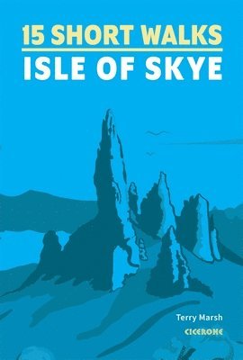
Would you like to explore the best of the Isle of Skye? This guidebook covers 15 of the best short walks in the area (all under three hours), including the Old Man of Storr, the Quiraing pinnacles, Rubha Hunish and the Fairy Pools.
Why choose this guidebook?
Easy to moderate walks suitable for almost everyone Short climbs but no challenging terrain Numbered points which tie OS maps to clear route description Facilities, parking and highlights for every route Route Summary Table to help you choose your walkCicerone’s Short Walks guidebooks contain everything you need to get outdoors and discover the best of an area. The routes are perfect if you’re new to walking or looking for something you can enjoy with the whole family. Let the adventures begin!
227 kr
Läs direkt efter köp
A guidebook to 50-day walks on the Isles of Mull, Coll and Tiree. From short circuits and linear coastal and glen walks to demanding mountain routes, there is something for walkers of all fitness levels and experience on this Inner Hebridean island. The walks range in length from 2-19km (1-12 miles) and cover Mull and the neighbouring islands of Coll, Tiree, Iona, Ulva, Gometra and Erraid.
1:50,000 OS maps included for each walk GPX files available to download Detailed information on accommodation and ferry transport Easy access from Tobermory and Craignure Highlights include an ascent of Ben More263 kr
Läs direkt efter köp
245 kr
Läs direkt efter köp