Thomas Suarez – författare
Visar alla böcker från författaren . Handla med fri frakt och snabb leverans.
6 produkter
6 produkter
Inbunden, Engelska, 2026
434 kr
Skickas inom 5-8 vardagar
Häftad, Engelska, 2022
253 kr
Skickas
E-bok
Engelska, 2012265 kr
Läs direkt efter köp
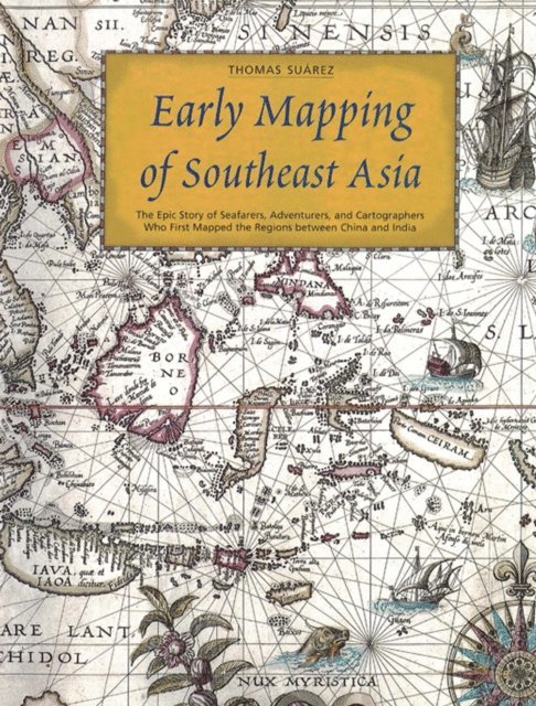
With dozens of rare color maps and other documents, Early Mapping of Southeast Asia follows the story of map-making, exploration and colonization in Asia from the 16th to the 19th centuries. It documents the idea of Southeast Asia as a geographical and cosmological construct, from the earliest of times up until the down of the modern era. using maps, itineraries, sailing instructions, traveler''s tales, religious texts and other contemporary sources, it examines the representation of Southeast Asia, both from the historical perspective of Western exploration and cartography, and also through the eyes of Asian neighbors.Southeast Asia has always occupied a special place in the imaginations of East and West. This book recounts the fascinating story of how Southeast Asia was, quite literally, put on the map, both in cartographic terms and as a literary and imaginative concept.
E-bok
Engelska, 2013265 kr
Läs direkt efter köp
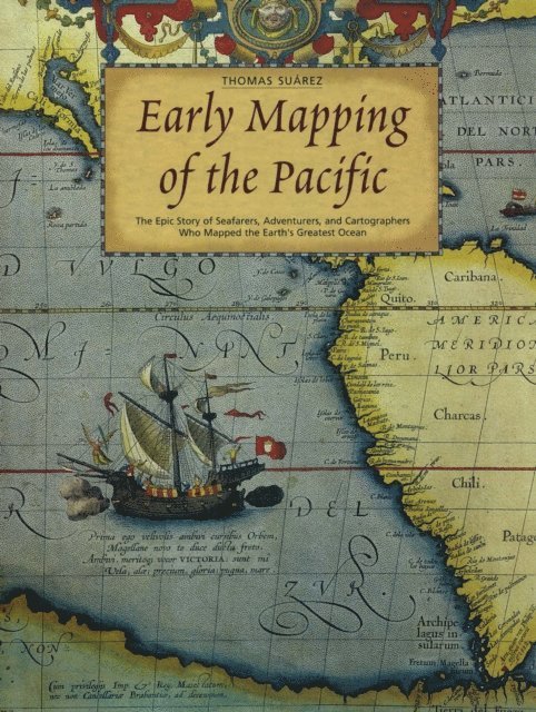
Take a journey back to the uncharted oceans with the most celebrated European explorers! Interest in Southeast Asian history and culture is higher than ever before. Ancient cartography of Oceania holds mysteries as old as time—were these early ocean maps molded as much by fantasy as fact? Early Mapping of the Pacific bravely delves into all the questions surrounding the history of maps. The Pacific Ocean remained a mystery to mapmakers until the latter part of the eighteenth century. This book traces the European exploration and charting of the vast ocean through a cornucopia of beautiful maps stretching from Japan on the northwest, through Juan Fernandez Island on the southeast, with the various islands of Oceania the primary focus. It follows the history of mapmaking from Classical times up to the turn of the twentieth century. The ancient seafarers who ventured eastward from Asia, and were the Pacific''s true pioneers, left no maps. They still helped make cartography history, thanks to the navigational genius their descendants passed to European visitors. Thus, the Pacific as we now know it was formally born when the colonization of America partitioned the seas between Europe and Asia into two. This gorgeous edition presents nearly 300 rare Asia maps and early prints, compiled by expert Thomas Suarez. Topics addressed include: The Pacific Islands and Their People Mariners, Mapmakers and the Great Ocean The Pacific Evolves after Magellan In the Wake of the Solomon Islands Earliest Mapping of Australia and New Zealand The Age of Enlightenment The Three Voyages of James Cook The Discovery of Tahiti and Hawaii Micronesia, the Elusive Isles Surveyors, Whalers, and Missionaries You, too, can share in the wonder of these explorers'' vast geographical and cultural discoveries, and the voyages that led to them, in this comprehensive cartography book.
Häftad, Engelska, 2019
182 kr
Skickas inom 5-8 vardagar
Inbunden, Engelska, 1992
1 793 kr
Tillfälligt slut
Shedding the Veil is a highly original overview of Europe's exploration and discovery beyond her own confines. It tackles the subject via an analysis of maps dating from circa 1434 to 1865, with an emphasis on the period before 1600. The book begins with an appraisal of the peculiar circumstances which led late medieval Europe to pursue long-distance travel, both overland and by sea, introduces cosmographic traditions inherited from classical times, and investigates pre-Columbian excursions into the western ocean. Finally, the great voyages and mappaemundi of the early sixteenth century are described in depth. After 1600 the focus begins to narrow North America and particularly to the colonization of the American Northeast. All maps discussed in detail are illustrated. 40 full-page b/w plates, 25 full-page color plates.