Erdsicht - Einblicke in geographische und geoinformationstechnische Arbeitsweisen – serie
Visar alla böcker i serien Erdsicht - Einblicke in geographische und geoinformationstechnische Arbeitsweisen. Handla med fri frakt och snabb leverans.
8 produkter
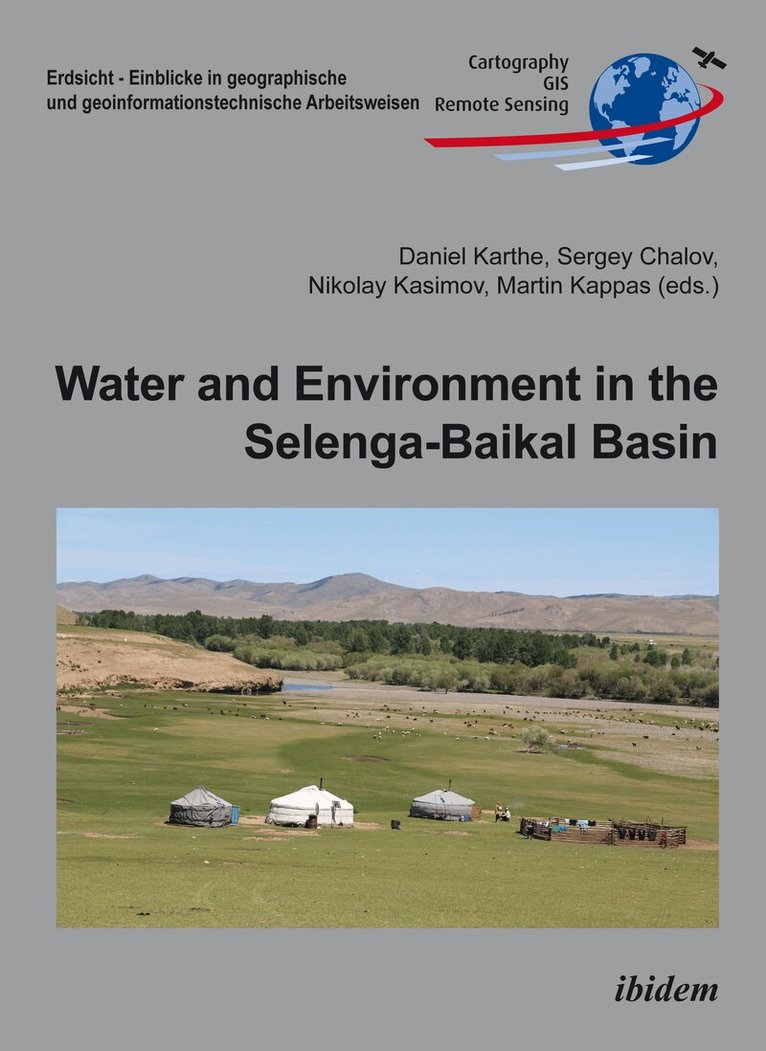
Water and Environment in the Selenga-Baikal Basin
International Research Cooperation for an Ecoregion of Global Relevance
Av Daniel Karthe, Sergey Chalov m. fl.
Inbunden, 2016
1154 kr
Lägg i varukorg
The water resources of the Selenga River/Lake Baikal system are of fundamental importance for the ecosystems and socio-economic development of the region. In this large-scale river and lake basin, there are strong contrasts between regions of relatively pristine nature and massive anthropogenic …
Water and Environment in the Selenga-Baikal Basin: International Research Cooperation for an Ecoregion of Global Relevance
Av Daniel Karthe, Sergey Chalov
Häftad, 2016
939 kr
Lägg i varukorg
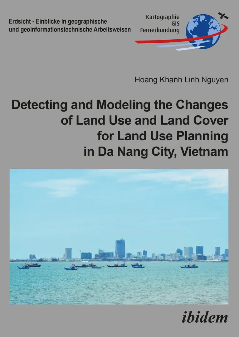
Detecting and Modeling the Changes of Land Use and Land Cover for Land Use Planning in Da Nang City, Vietnam
Av Hoang Khanh Linh Nguyen, Martin Kappas
Häftad, 2018
559 kr
Lägg i varukorg
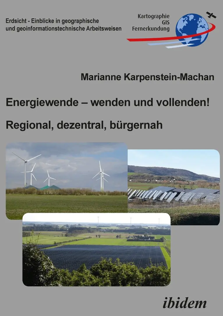
Energiewende – wenden und vollenden! Regional, dezentral, bürgernah
Av Marianne Karpenstein-Machan
Häftad, 2023
376 kr
Lägg i varukorg
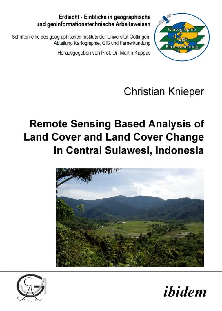
Remote Sensing Based Analysis of Land Cover and Land Cover Change in Central Sulawesi, Indonesia
Häftad, 2006
310 kr
Lägg i varukorg
Tropical rain forests are the most complex, varied, and species-rich terrestrial ecosystems on earth. However, these unique forests are more and more threatened by human activities. About half of the originally forested area has been deforested in the past decades and the pressure on today’s …
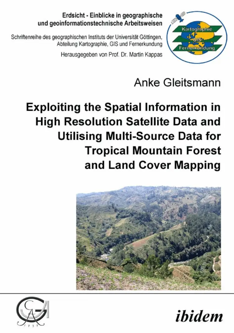
Exploiting the Spatial Information in High Resolution Satellite Data and Utilising Multi-Source Data for Tropical Mountain Forest and Land Cover Mapping
Häftad, 2006
456 kr
Lägg i varukorg
Die Cordillera Central der Dominikanischen Republik ist eine Quelle wichtiger natürlicher Ressourcen – vor allem Wasser – für dieses karibische Land. Im oberen Einzugsgebiet des Río Yaque del Norte wurde im Laufe des 20. Jahrhunderts ein großer Teil der natürlichen Wälder abgeholzt und durch Weide- …
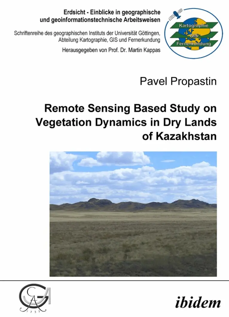
Remote Sensing Based Study on Vegetation Dynamics in Dry Lands of Kazakhstan
Häftad, 2007
403 kr
Lägg i varukorg
The natural environment of drylands is highly vulnerable and fra¬gile, variations of climate conditions here are the highest among all terrestrial ecosystems and that is why they are expected to be strongly influenced by the current climate change. Remote sensing and GIS play an important role in a …
Comparison of GIS-based and High Resolution Satellite Imagery Population Modeling
A Case Study for Istanbul
Häftad, 2011
337 kr
Tillfälligt slut
Over the last decades, the rapid growth of the world population has led to a large number of emerging megacities. The 1999 Izmit (Turkey) earthquake is a striking example of the impact of natural hazards on megacities. On August 17, 1999, a magnitude 7.6 earthquake struck the area of Izmit, Turkey, …