Historic English Counties Maps Collection – serie
Visar alla böcker i serien Historic English Counties Maps Collection. Handla med fri frakt och snabb leverans.
2 produkter
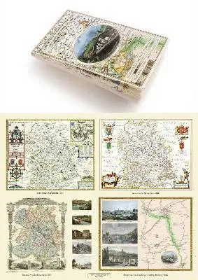
Shropshire 1611 – 1836 – Fold Up Map that features a collection of Four Historic Maps, John Speed’s County Map 1611, Johan Blaeu’s County Map of 1648, Thomas Moules County Map of 1836 and a Map of the Severn Valley Railway in 1887.The maps also feature a number of early views across Shropshire including the famous Ironbridge over the Severn and the Severn at Bridgnorth.
Av Mapseeker Publishing Ltd Mapseeker Publishing Ltd
Häftad, 2019
259 kr
Tillfälligt slut
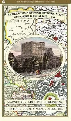
Collection of Four Historic Maps of Norfolk from 1611 - 1836
Av Mapseeker Archive Publishing Ltd Mapseeker Archive Publishing Ltd
Häftad, 2019
259 kr
Tillfälligt slut