OS Explorer Map – serie
Visar alla böcker i serien OS Explorer Map. Handla med fri frakt och snabb leverans.
315 produkter
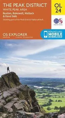
Peak District
White Peak Area
2020
167 kr
Lägg i varukorg
OS Explorer is the Ordnance Survey's most detailed map and is recommended for anyone enjoying outdoor activities like walking, horse riding and off-road cycling. The OS Explorer range of OL maps now includes a digital version of the paper map, accessed through the OS smartphone app, OS Maps. …
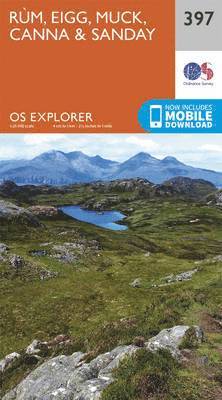
Rum, Eigg, Muck, Canna and Sanday
2015
167 kr
Lägg i varukorg
OS Explorer is the Ordnance Survey's most detailed map and is recommended for anyone enjoying outdoor activities like walking, horse riding and off-road cycling. The OS Explorer range now includes a digital version of the paper map, accessed through the OS smartphone app, OS Maps. Providing …
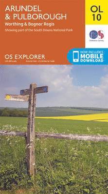
Arundel & Pulborough, Worthing & Bognor Regis
2015
167 kr
Lägg i varukorg
OS Explorer is the Ordnance Survey's most detailed map and is recommended for anyone enjoying outdoor activities like walking, horse riding and off-road cycling. The OS Explorer range of OL maps now includes a digital version of the paper map, accessed through the OS smartphone app, OS Maps. …
Ben Nevis and Fort William, the Mamores and the Grey Corries, Kinlochleven and Spean Bridge
2015
167 kr
Lägg i varukorg
OS Explorer is the Ordnance Survey's most detailed map and is recommended for anyone enjoying outdoor activities like walking, horse riding and off-road cycling. The OS Explorer range now includes a digital version of the paper map, accessed through the OS smartphone app, OS Maps. Providing …
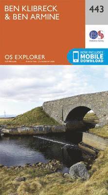
Ben Kilbreck and Ben Armine
2015
167 kr
Lägg i varukorg
OS Explorer is the Ordnance Survey's most detailed map and is recommended for anyone enjoying outdoor activities like walking, horse riding and off-road cycling. The OS Explorer range now includes a digital version of the paper map, accessed through the OS smartphone app, OS Maps. Providing …
Meon Valley, Portsmouth, Gosport & Fareham
2015
167 kr
Lägg i varukorg
OS Explorer is the Ordnance Survey's most detailed map and is recommended for anyone enjoying outdoor activities like walking, horse riding and off-road cycling. The OS Explorer range of OL maps now includes a digital version of the paper map, accessed through the OS smartphone app, OS Maps. …
Chichester, South Harting & Selsey
2015
167 kr
Lägg i varukorg
OS Explorer is the Ordnance Survey's most detailed map and is recommended for anyone enjoying outdoor activities like walking, horse riding and off-road cycling. The OS Explorer range of OL maps now includes a digital version of the paper map, accessed through the OS smartphone app, OS Maps. …
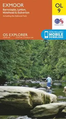
Exmoor, Barnstaple, Lynton, Minehead & Dulverton
2015
167 kr
Lägg i varukorg
OS Explorer is the Ordnance Survey's most detailed map and is recommended for anyone enjoying outdoor activities like walking, horse riding and off-road cycling. The OS Explorer range of OL maps now includes a digital version of the paper map, accessed through the OS smartphone app, OS Maps. …
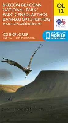
Brecon Beacons National Park / Parc Cenedlaethol Bannau Brycheiniog - Western Area / Ardal Gorllewinol
2015
167 kr
Lägg i varukorg
OS Explorer is the Ordnance Survey's most detailed map and is recommended for anyone enjoying outdoor activities like walking, horse riding and off-road cycling. The OS Explorer range of OL maps now includes a digital version of the paper map, accessed through the OS smartphone app, OS Maps. …
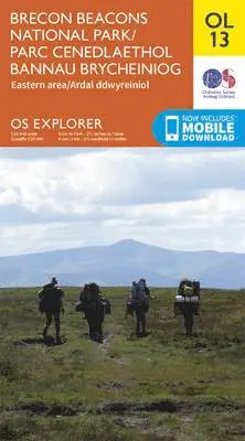
Brecon Beacons National Park / Parc Cenedlaethol Bannau Brycheiniog - Eastern Area / Ardal Ddwyreiniol
2015
167 kr
Lägg i varukorg
OS Explorer is the Ordnance Survey's most detailed map and is recommended for anyone enjoying outdoor activities like walking, horse riding and off-road cycling. The OS Explorer range of OL maps now includes a digital version of the paper map, accessed through the OS smartphone app, OS Maps. …
Purbeck & South Dorset, Poole, Dorchester, Weymouth & Swanage
2015
167 kr
Lägg i varukorg
OS Explorer is the Ordnance Survey's most detailed map and is recommended for anyone enjoying outdoor activities like walking, horse riding and off-road cycling. The OS Explorer range of OL maps now includes a digital version of the paper map, accessed through the OS smartphone app, OS Maps. …
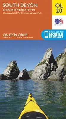
South Devon, Brixham to Newton Ferrers
2015
167 kr
Lägg i varukorg
OS Explorer is the Ordnance Survey's most detailed map and is recommended for anyone enjoying outdoor activities like walking, horse riding and off-road cycling. The OS Explorer range of OL maps now includes a digital version of the paper map, accessed through the OS smartphone app, OS Maps. …
South Pennines, Burnley, Hebden Bridge, Keighley & Todmorden
2015
167 kr
Lägg i varukorg
OS Explorer is the Ordnance Survey's most detailed map and is recommended for anyone enjoying outdoor activities like walking, horse riding and off-road cycling. The OS Explorer range of OL maps now includes a digital version of the paper map, accessed through the OS smartphone app, OS Maps. …
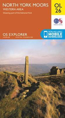
North York Moors - Western Area
2015
167 kr
Lägg i varukorg
OS Explorer is the Ordnance Survey's most detailed map and is recommended for anyone enjoying outdoor activities like walking, horse riding and off-road cycling. The OS Explorer range of OL maps now includes a digital version of the paper map, accessed through the OS smartphone app, OS Maps. …
North York Moors - Eastern Area
2015
167 kr
Lägg i varukorg
OS Explorer is the Ordnance Survey's most detailed map and is recommended for anyone enjoying outdoor activities like walking, horse riding and off-road cycling. The OS Explorer range of OL maps now includes a digital version of the paper map, accessed through the OS smartphone app, OS Maps. …
North Pennines - Teesdale & Weardale
2015
167 kr
Lägg i varukorg
OS Explorer is the Ordnance Survey's most detailed map and is recommended for anyone enjoying outdoor activities like walking, horse riding and off-road cycling. The OS Explorer range of OL maps now includes a digital version of the paper map, accessed through the OS smartphone app, OS Maps. …
Crawley & Horsham, Cranleigh & Billingshurst
2015
167 kr
Lägg i varukorg
OS Explorer is the Ordnance Survey's most detailed map and is recommended for anyone enjoying outdoor activities like walking, horse riding and off-road cycling. The OS Explorer range of OL maps now includes a digital version of the paper map, accessed through the OS smartphone app, OS Maps. …
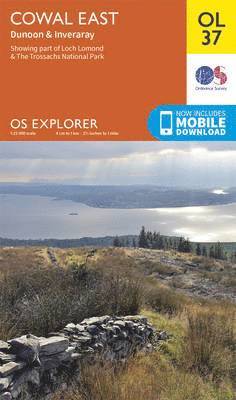
Cowal East, Dunoon & Inverary
2015
167 kr
Lägg i varukorg
OS Explorer is the Ordnance Survey's most detailed map and is recommended for anyone enjoying outdoor activities like walking, horse riding and off-road cycling. The OS Explorer range of OL maps now includes a digital version of the paper map, accessed through the OS smartphone app, OS Maps. …
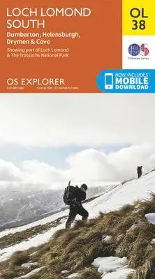
Loch Lomond South, Dumbarton & Helensburgh, Drymen & Cove
2015
167 kr
Lägg i varukorg
OS Explorer is the Ordnance Survey's most detailed map and is recommended for anyone enjoying outdoor activities like walking, horse riding and off-road cycling. The OS Explorer range of OL maps now includes a digital version of the paper map, accessed through the OS smartphone app, OS Maps. …
Loch Lomond North, Tyndrum, Crianlarich & Arrochar
2015
167 kr
Lägg i varukorg
OS Explorer is the Ordnance Survey's most detailed map and is recommended for anyone enjoying outdoor activities like walking, horse riding and off-road cycling. The OS Explorer range of OL maps now includes a digital version of the paper map, accessed through the OS smartphone app, OS Maps. …
Forest of Bowland & Ribblesdale, Pendle Hill, Clitheroe & Settle
2015
167 kr
Lägg i varukorg
OS Explorer is the Ordnance Survey's most detailed map and is recommended for anyone enjoying outdoor activities like walking, horse riding and off-road cycling. The OS Explorer range of OL maps now includes a digital version of the paper map, accessed through the OS smartphone app, OS Maps. …
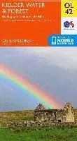
Kielder Water & Forest, Bellingham & Simonside Hills
2015
167 kr
Lägg i varukorg
OS Explorer is the Ordnance Survey's most detailed map and is recommended for anyone enjoying outdoor activities like walking, horse riding and off-road cycling. The OS Explorer range of OL maps now includes a digital version of the paper map, accessed through the OS smartphone app, OS Maps. …
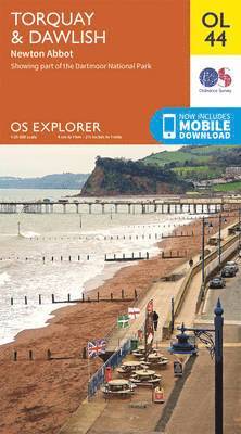
Torquay & Dawlish, Newton Abbot
2015
167 kr
Lägg i varukorg
OS Explorer is the Ordnance Survey's most detailed map and is recommended for anyone enjoying outdoor activities like walking, horse riding and off-road cycling. The OS Explorer range of OL maps now includes a digital version of the paper map, accessed through the OS smartphone app, OS Maps. …
Cotswolds, Burford, Chipping Campden, Cirencester & Stow-on-the Wold
2015
167 kr
Lägg i varukorg
OS Explorer is the Ordnance Survey's most detailed map and is recommended for anyone enjoying outdoor activities like walking, horse riding and off-road cycling. The OS Explorer range of OL maps now includes a digital version of the paper map, accessed through the OS smartphone app, OS Maps. …
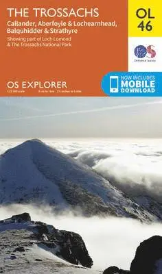
Trossachs, Callander, Aberfoyle & Lochearnhead, Balquhidder & Strathyre
2015
167 kr
Lägg i varukorg
OS Explorer is the Ordnance Survey's most detailed map and is recommended for anyone enjoying outdoor activities like walking, horse riding and off-road cycling. The OS Explorer range of OL maps now includes a digital version of the paper map, accessed through the OS smartphone app, OS Maps. …
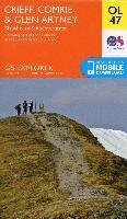
Crieff, Comrie & Glen Artney, Strathearn & Auchterarder
2015
167 kr
Lägg i varukorg
OS Explorer is the Ordnance Survey's most detailed map and is recommended for anyone enjoying outdoor activities like walking, horse riding and off-road cycling. The OS Explorer range of OL maps now includes a digital version of the paper map, accessed through the OS smartphone app, OS Maps. …
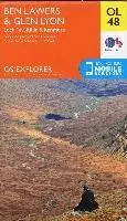
Ben Lawers & Glen Lyon, Loch Tay, Killin & Kenmore
2015
167 kr
Lägg i varukorg
OS Explorer is the Ordnance Survey's most detailed map and is recommended for anyone enjoying outdoor activities like walking, horse riding and off-road cycling. The OS Explorer range of OL maps now includes a digital version of the paper map, accessed through the OS smartphone app, OS Maps. …
Pitlochry & Loch Tummel, Aberfeldy, Kinloch Rannoch & Schiehallion
2015
167 kr
Lägg i varukorg
OS Explorer is the Ordnance Survey's most detailed map and is recommended for anyone enjoying outdoor activities like walking, horse riding and off-road cycling. The OS Explorer range of OL maps now includes a digital version of the paper map, accessed through the OS smartphone app, OS Maps. …
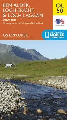
Ben Alder, Loch Ericht & Loch Laggan, Dalwhinnie
2015
167 kr
Lägg i varukorg
OS Explorer is the Ordnance Survey's most detailed map and is recommended for anyone enjoying outdoor activities like walking, horse riding and off-road cycling. The OS Explorer range of OL maps now includes a digital version of the paper map, accessed through the OS smartphone app, OS Maps. …
Atholl, Glen Tilt, Beinn Dearg & Carn nan Gabhar
2015
167 kr
Lägg i varukorg
OS Explorer is the Ordnance Survey's most detailed map and is recommended for anyone enjoying outdoor activities like walking, horse riding and off-road cycling. The OS Explorer range of OL maps now includes a digital version of the paper map, accessed through the OS smartphone app, OS Maps. …