Trail Map XT40 – serie
Visar alla böcker i serien Trail Map XT40. Handla med fri frakt och snabb leverans.
4 produkter
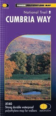
Cumbria Way
2016
345 kr
Lägg i varukorg
Entire route on one mapThe Cumbria Way is 112km (70 miles) from Ulverston to Carlisle. It passes through Coniston, Dungeon Ghyll, Keswick and Caldbeck. The route passes mostly through valleys rather than over high tops.Tough, light, durable and 100% waterproofIncludes Rights of WayRoute clearly …
South Downs Way
2019
261 kr
Lägg i varukorg
Just one HARVEY map covers the whole route. This map is detailed, with the route of the National Trail clearly marked. The map also contains general info & useful telephone nos to assist with planning. Info & key are in 3 languages (English, French & German).
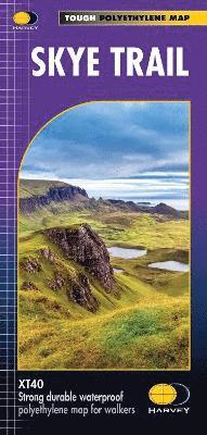
Skye Trail
2019
261 kr
Lägg i varukorg
Entire route on one mapThe Skye Trail is a challenging unmarked route of 127km (79 miles) through the island of Skye. It is specifically aimed at experienced hillwalkers. The route follows much of the amazing Trotternish Ridge and passes beneath the peaks and pinnacles of the Cuillin, which are …
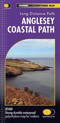
Anglesey Coastal Path
2016
261 kr
Lägg i varukorg
The 200km (125 mile) long Anglesey Coastal Path is a long distance route that follows much of the island's coastline and comprises one section of the Wales Coast Path. The path primarily caters for walkers however, cyclists and horse riders can also enjoy certain sections. The path falls within a …