• Fri frakt över 249 kr
  • •
  • Snabba leveranser
  • •
  • Billiga böcker
Kundservice

Du är på sajten för privatpersoner.

Företag, bibliotek eller offentlig verksamhet?

Du handlar på classic.bokus.com, där alla dina funktioner finns intakta.
Till classic.bokus.com
Bokus logotyp. Gå till startsidan.
  • Erbjudanden
  • Nyheter
  • Student
  • Topplistor
  • Barn & ungdom
  • Bokus Play
  • E-böcker
  • Pocketböcker
  • Spel & pussel

10% rabatt på allt med kod NYSTART10 →

Sidfot

Mina sidor

    Hjälp

    • Kundservice
    • Vanliga frågor och svar
    • Frakt och leverans
    • Retur vid ångerrätt
    • Reklamera vara
    • Betalning
    • Köpvillkor
    • Allmänna villkor
    • Information om webbplatsens tillgänglighet

    Om Bokus

    • Om oss
    • Pressrum
    • För studenter
    • För företag
    • För bibliotek och offentlig verksamhet
    • För leverantörer
    • Hållbarhet

    Populärt

    • Aktuella erbjudanden
    • Presentkort
    • Studentlitteratur
    • Nya böcker
    • Topplistor
    • Signerade böcker
    • Engelska böcker

    Inspiration

    • Boktips
    • BookTok
    • Populära bokserier
    • Barnbokskaraktärer
    • Populära författare
    Logotyp för Bokus
    Följ oss på Facebook (extern länk)Följ oss på Instagram (extern länk)Följ oss på YouTube (extern länk)Följ oss på TikTok (extern länk)
    bokus @ CookiesAnpassa cookiesIntegritetspolicyKöpvillkor
    Till Citymail hemsida (extern länk)Till Budbee hemsida (extern länk)Till Postnord hemsida (extern länk)Till Schenker hemsida (extern länk)Till Early Bird hemsida (extern länk)Till Walleys hemsida (extern länk)
    1. Samhälle och politik
    2. Krig och försvar
    3. Militära operationer
    4. Slag och fälttåg

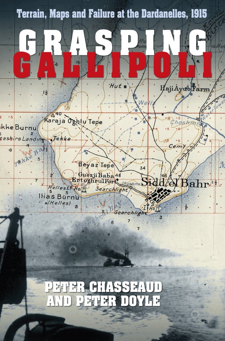
    Grasping Gallipoli

    Terrain, Maps and Failure at the Dardanelles, 1915

    AvPeter Chasseaud,Peter Doyle

    Häftad, Engelska, 2015

    179 kr

    Tillfälligt slut

    Fler format och utgåvor

    Inbunden

    Tillf. slut

    Beskrivning

    The failure of the Gallipoli campaign was instantly blamed on a great untruth – that the War Office was unprepared for Dardanelles operations and gave Sir Ian Hamilton little in the way of maps and terrain intelligence. This myth is repeated by current historians. The Dardanelles Commission became a battleground of accusation and counter-accusation. This book, incorporating much previously unpublished material, demonstrates that geographical intelligence preparations had indeed been made by the War Office and the Admiralty for decades. They had collected a huge amount of terrain information, maps and charts covering the topography and defences, and knew a great deal about Greek plans to capture the Gallipoli Peninsula. At least one plan was Anglo-Greek!Much of this material, which is here identified and evaluated, was handed over to Hamilton’s Staff. Additional material was obtained in theatre before the landings, T. E. Lawrence playing a part. Grasping Gallipolli, which is the first book to examine the intelligence and mapping side of the Dardanelles campaign, looks closely at its terrain, and describes the production and development of new operations maps, and clarifies whether the intelligence was properly processed and efficiently used. It also examines the use of aerial photos taken by the Royal Naval Air Service during the campaign, and charting, hydrographic and other intelligence work by the Royal Navy.

    Produktinformation

    • Utgivningsdatum:2015-03-02
    • Mått:156 x 234 x 30 mm
    • Vikt:720 g
    • Format:Häftad
    • Språk:Engelska
    • Antal sidor:364
    • Förlag:The History Press Ltd
    • ISBN:9780750962261

    Utforska kategorier

    • Slag och fälttåg inom Samhälle och politik
    • Europas historia inom Historia och arkeologi
    • Första världskriget inom Historia och arkeologi

    Mer om författaren

    Dr PETER CHASSEAUD is the acknowledged expert on First World War survey and mapping, and an acclaimed military historian. He was a commissioner on the A19 (Ypres battlefield) project, and is involved in battlefield archaeology and research. In his long career, he has worked for TV and on the Naval and Military Press/Imperial War Museum/National Archives 1914–18 trench map CD and DVD projects, and has also published several books. He is a Fellow of the Royal Geographical Society and a member of the Royal United Services Institute. PETER DOYLE specialises in the understanding of military terrain, with special reference to the two world wars. A member of the British Commission of Military History, and co-secretary of the Parliamentary All Party War Graves and Battlefield Heritage Group, he is the author of a number of works of military history.