• Fri frakt över 249 kr
  • •
  • Snabba leveranser
  • •
  • Billiga böcker
Kundservice

Du är på sajten för privatpersoner.

Företag, bibliotek eller offentlig verksamhet?

Du handlar på classic.bokus.com, där alla dina funktioner finns intakta.
Till classic.bokus.com
Bokus logotyp. Gå till startsidan.
  • Erbjudanden
  • Nyheter
  • Student
  • Topplistor
  • Barn & ungdom
  • Bokus Play
  • E-böcker
  • Pocketböcker
  • Spel & pussel

10% rabatt på allt med kod NYSTART10 →

Sidfot

Mina sidor

    Hjälp

    • Kundservice
    • Vanliga frågor och svar
    • Frakt och leverans
    • Retur vid ångerrätt
    • Reklamera vara
    • Betalning
    • Köpvillkor
    • Allmänna villkor
    • Information om webbplatsens tillgänglighet

    Om Bokus

    • Om oss
    • Pressrum
    • För studenter
    • För företag
    • För bibliotek och offentlig verksamhet
    • För leverantörer
    • Hållbarhet

    Populärt

    • Aktuella erbjudanden
    • Presentkort
    • Studentlitteratur
    • Nya böcker
    • Topplistor
    • Signerade böcker
    • Engelska böcker

    Inspiration

    • Boktips
    • BookTok
    • Populära bokserier
    • Barnbokskaraktärer
    • Populära författare
    Logotyp för Bokus
    Följ oss på Facebook (extern länk)Följ oss på Instagram (extern länk)Följ oss på YouTube (extern länk)Följ oss på TikTok (extern länk)
    bokus @ CookiesAnpassa cookiesIntegritetspolicyKöpvillkor
    Till Citymail hemsida (extern länk)Till Budbee hemsida (extern länk)Till Postnord hemsida (extern länk)Till Schenker hemsida (extern länk)Till Early Bird hemsida (extern länk)Till Walleys hemsida (extern länk)
    1. Naturvetenskap och teknik
    2. Geovetenskap
    3. Miljövetenskap och miljöpolitik

    Observing Land from Space

    Science, Customers and Technology

    AvMichel M. Verstraete,Massimo Menenti

    Inbunden, Engelska, 2000

    Del i serien Advances in Global Change Research

    1 623 kr

    Beställningsvara. Skickas inom 10-15 vardagar. Fri frakt över 249 kr.

    Beskrivning

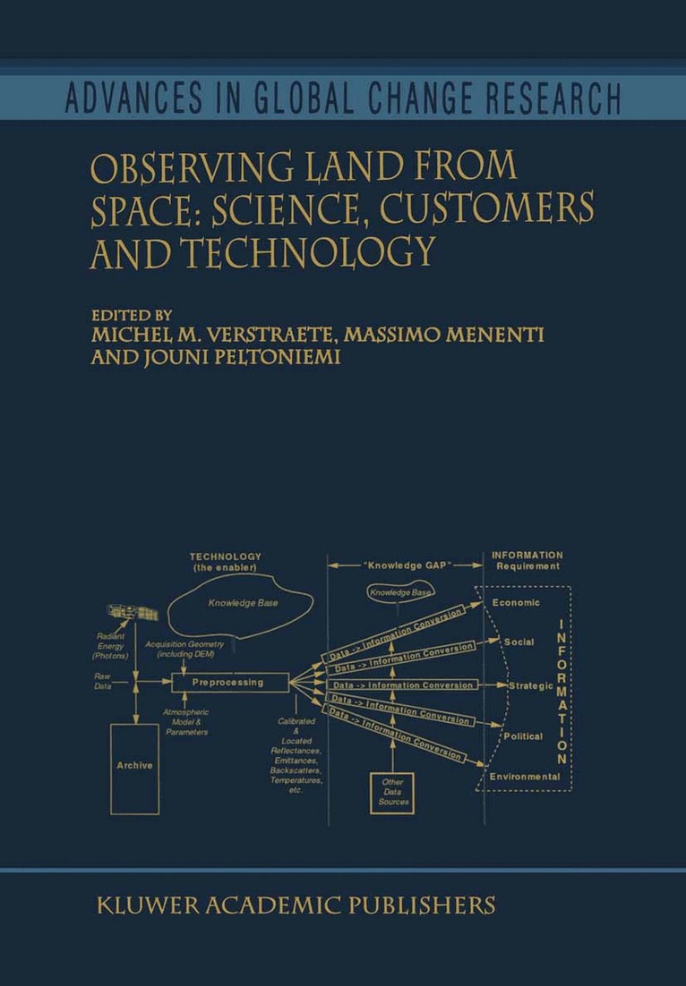
    This volume offers a broad overview of the science and technology of remote sensing, its policy implications, and the needs of operational users in the context of climate change and environmental degradation over land. The various chapters derive from presentations originally made at the first ENAMORS conference on Optical Remote Sensing of Terrestrial Surfaces: New Sensors, Advanced Algorithms, and the Opportunity for Novel Applications, held in Tuusula, Finland, in September 1997. This meeting assembled a panel of scientists, engineers, users, and policy makers, and provided a forum to debate scientific priorities, technological opportunities, and information requirements. Policy makers strive to take full advantage of investments in Earth Observation, scientists develop new and better algorithms to deliver more accurate characterizations of the environment, or propose innovative applications, while Space Agencies design observational systems better adapted to meet the requirements of a broad spectrum of scientific missions.

    Produktinformation

    • Utgivningsdatum:2000-09-30
    • Mått:155 x 235 x 24 mm
    • Vikt:699 g
    • Format:Inbunden
    • Språk:Engelska
    • Serie:Advances in Global Change Research
    • Antal sidor:344
    • Upplaga:2000
    • Förlag:Kluwer Academic Publishers
    • ISBN:9780792365037

    Utforska kategorier

    • Miljövetenskap och miljöpolitik inom Naturvetenskap och teknik
    • Geografi inom Naturvetenskap och teknik

    Recensioner i media

    'In summary, this book will be of use primarily to those with a strong remote sensing background. This covers the most recent tools and trends, and paints an overall picture of this field. In this sense this book is a good reference for RS specialists and global change researchers. It is of interest to those dealing with global scale mapping and modelling. It presents many succesful RS applications, which may stimulate methods and data resources.' Goderma,102(2001)

    Innehållsförteckning

    • Welcome Address.- Activities of the European Commission in Earth Observation.- The CEO Initiatives to Collect and Analyze User Requirements for Earth Observation.- National Strategy for Developing Earth Observation Applications in Finland.- Operationalization of Earth Observation.- Remote Sensing of Forest Fires.- Using Current and Future Remote Sensing Systems in Natural Hazards Management.- Examples of the Use of Satellite Data in Numerical Weather Prediction Models.- The Contribution of Remote Sensing Technologies and Algorithms to Land Surface Processes Studies.- Exploitation and Evaluation of Retrieval Algorithms for Geostationary Satellite Data Processing.- The Role of Remote Sensing in Land Surface Experiments within BAHC and ISLSCP.- Earth Observation Demands for Improved Water Resources Management.- A Biophysical Process-Based Estimate of Global Land Surface Evaporation Using Satellite and Ancillary Data.- Remote Sensing of Land Cover and Land Cover Change.- Land-Cover Categories Versus Biophysical Attributes to Monitor Land-Cover Change by Remote Sensing.- A New Approach to Characterize Global Land Surfaces.- Remote Sensing Requirements to Support Forest Inventories.- Some Research and Applications in the CSIRO (Australia) Earth Observation Centre on Scene Brightness Due to BRDF.- Remote Sensing of Albedo Using the BRDF in Relation to Land Surface Properties.- Experimental Study of Statistical Characteristics of Plant Canopy Radiation Regime.- Light Scattering Models and Reflectance Measurements in Remote Sensing of Snow.- Ray Optics Approximation for Random Clusters of Gaussian Spheres.- Backscattering of Light by Snow.- Australian Sites for the Validation of Satellite Retrievals of the Radiative Properties of Land Surfaces.- Instruments and Methods for the Ground-Level Reference Measurement of Solar Radiation, Albedo and Net Radiation.- The NASA Earth System Science Program in 21st Century.- ESA’s Plans and Strategy for Optical Remote Sensing of Terrestrial Surfaces in the Next Decade.- Early Results from Adeos and Future Earth Observation Missions.- Vegetation: An Earth Observation System to Monitor the Biosphere.- Hyperspectral Imager Survey and Developments for Scientific and Operational Land Processes Monitoring Applications.- Summary and Conclusions.