• Fri frakt över 249 kr
  • •
  • Snabba leveranser
  • •
  • Billiga böcker
Kundservice

Du är på sajten för privatpersoner.

Företag, bibliotek eller offentlig verksamhet?

Du handlar på classic.bokus.com, där alla dina funktioner finns intakta.
Till classic.bokus.com
Bokus logotyp. Gå till startsidan.
  • Erbjudanden
  • Nyheter
  • Student
  • Topplistor
  • Barn & ungdom
  • Bokus Play
  • E-böcker
  • Pocketböcker
  • Spel & pussel

10% rabatt på allt med kod: NYSTART10 →

Sidfot

Mina sidor

    Hjälp

    • Kundservice
    • Vanliga frågor och svar
    • Frakt och leverans
    • Retur vid ångerrätt
    • Reklamera vara
    • Betalning
    • Köpvillkor
    • Allmänna villkor
    • Information om webbplatsens tillgänglighet

    Om Bokus

    • Om oss
    • Pressrum
    • För studenter
    • För företag
    • För bibliotek och offentlig verksamhet
    • För leverantörer
    • Hållbarhet

    Populärt

    • Aktuella erbjudanden
    • Presentkort
    • Studentlitteratur
    • Nya böcker
    • Topplistor
    • Signerade böcker
    • Engelska böcker

    Inspiration

    • Boktips
    • BookTok
    • Populära bokserier
    • Barnbokskaraktärer
    • Populära författare
    Logotyp för Bokus
    Följ oss på Facebook (extern länk)Följ oss på Instagram (extern länk)Följ oss på YouTube (extern länk)Följ oss på TikTok (extern länk)
    bokus @ CookiesAnpassa cookiesIntegritetspolicyKöpvillkor
    Till Citymail hemsida (extern länk)Till Budbee hemsida (extern länk)Till Postnord hemsida (extern länk)Till Schenker hemsida (extern länk)Till Early Bird hemsida (extern länk)Till Walleys hemsida (extern länk)
    1. Naturvetenskap och teknik
    2. Teknik och industri
    3. Övrig teknik och tillämpad vetenskap

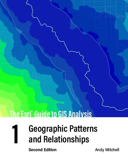
    Esri Guide to GIS Analysis, Volume 1

    Geographic Patterns and Relationships

    AvAndy Mitchell

    Häftad, Engelska, 2020

    693 kr

    Beställningsvara. Skickas inom 5-8 vardagar. Fri frakt över 249 kr.

    Fler format och utgåvor

    Häftad

    522 kr

    Inbunden

    1 058 kr

    Beskrivning

    Do more with your GIS and understand the foundation of spatial analysis: geographic patterns and relationships.A geographic information system (GIS) enables so much more than mapping. A GIS inherently enables spatial analysis that can give you a better understanding of your geographic data. GIS analysis reveals answers to questions like:Where is it?Where’s the most and least?How much is where?What’s inside?What’s nearby?What’s changed?But how do you get started? The second edition of The Esri Guide to GIS Analysis, Volume 1 shows you how and more.With easier to read maps and text, The Esri Guide to GIS Analysis, Volume 1, second edition, updates a classic text and teaches foundational spatial analysis patterns that provides geographic insights. Learn the basic concepts of spatial analysis and GIS. Build on that understanding with essential map-building skills to unveil and display patterns and relationships. The Esri Guide to GIS Analysis, Volume 1, second edition, also includes a guide to online lessons that reinforce the concepts and demonstrate GIS application.Written for both new and experienced GIS users using an easy to follow format, the second edition of The Esri Guide to GIS Analysis, Volume 1 helps you build a foundation of the basic tasks needed to handle a wide range of analysis applications and prepares you for more advanced GIS skills.

    Produktinformation

    • Utgivningsdatum:2020-07-09
    • Mått:188 x 234 x 18 mm
    • Vikt:726 g
    • Format:Häftad
    • Språk:Engelska
    • Antal sidor:312
    • Upplaga:2
    • Förlag:ESRI Press
    • ISBN:9781589485792

    Utforska kategorier

    • Övrig teknik och tillämpad vetenskap inom Naturvetenskap och teknik
    • Teknik: allmänt inom Naturvetenskap och teknik
    • Geografi inom Naturvetenskap och teknik

    Mer om författaren

    Andy Mitchell is a technical writer with more than 30 years’ experience in GIS. He is the author or co-author of several books, including The Esri Guide to GIS Analysis series and Zeroing In: Geographic Information Systems at Work in the Community.

    Innehållsförteckning

    • Introducing GIS analysisWhat is GIS analysis?Understanding geographic featuresUnderstanding geographic attributesMapping where things areWhy map where things are?Deciding what to mapPreparing your dataMaking your mapAnalyzing geographic patternsMapping the most and leastWhy map the most and least?What do you need to map?Understanding quantitiesCreating classesMaking a mapLooking for patternsMapping densityWhy map density?Deciding what to mapTwo ways of mapping densityMapping density for defined areasCreating a density surfaceFinding what's insideWhy map what's inside?Defining your analysisThree ways of finding what's insideDrawing areas and featuresSelecting features inside an areaOverlaying areas and featuresFinding what's nearbyWhy map what's nearby?Defining your analysisThree ways of finding what's nearbyUsing straight-line distanceMeasuring distance or cost over a networkCalculating cost over a geographic surfaceMapping changeWhy map change?Defining your analysisThree ways of mapping changeCreating a time seriesCreating a tracking mapMeasuring and mapping changeWhere to get more informationIndex