E-bok, Engelska, 2018
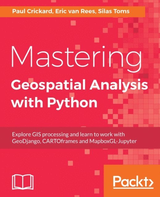
Mastering Geospatial Analysis with Python
Av Eric van Rees, Paul Crickard, Silas Toms
539 kr
Skickas tisdag 13/10
Beskrivning
Explore GIS processing and learn to work with various tools and libraries in Python.
Key Features
- [*] Analyze and process geospatial data using Python libraries such as; Anaconda, GeoPandas
- [*] Leverage new ArcGIS API to process geospatial data for the cloud.
- [*] Explore various Python geospatial web and machine learning frameworks.
Book Description
Python comes with a host of open source libraries and tools that help you work on professional geoprocessing tasks without investing in expensive tools. This book will introduce Python developers, both new and experienced, to a variety of new code libraries that have been developed to perform geospatial analysis, statistical analysis, and data management. This book will use examples and code snippets that will help explain how Python 3 differs from Python 2, and how these new code libraries can be used to solve age-old problems in geospatial analysis.You will begin by understanding what geoprocessing is and explore the tools and libraries that Python 3 offers. You will then learn to use Python code libraries to read and write geospatial data. You will then learn to perform geospatial queries within databases and learn PyQGIS to automate analysis within the QGIS mapping suite. Moving forward, you will explore the newly released ArcGIS API for Python and ArcGIS Online to perform geospatial analysis and create ArcGIS Online web maps. Further, you will deep dive into Python Geospatial web frameworks and learn to create a geospatial REST API.What you will learn
- [*] Manage code libraries and abstract geospatial analysis techniques using Python 3.
- [*] Explore popular code libraries that perform specific tasks for geospatial analysis.
- [*] Utilize code libraries for data conversion, data management, web maps, and REST API creation.
- [*] Learn techniques related to processing geospatial data in the cloud.
- [*] Leverage features of Python 3 with geospatial databases such as PostGIS, SQL Server, and SpatiaLite.
Who this book is for
The audience for this book includes students, developers, and geospatial professionals who need a reference book that covers GIS data management, analysis, and automation techniques with code libraries built in Python 3.
Produktinformation
- Utgivningsdatum: 2018-04-27
- Språk: Engelska
- Filformat: EPUB
- Kopieringsskydd: LCP
- ISBN: 9781788293815
- Förlag: Packt Publishing
Utforska kategorier
Betyg & recensioner
0 recensioner
Inga recensioner tillgängliga.