• Fri frakt över 249 kr
  • •
  • Snabba leveranser
  • •
  • Billiga böcker
Kundservice

Du är på sajten för privatpersoner.

Företag, bibliotek eller offentlig verksamhet?

Du handlar på classic.bokus.com, där alla dina funktioner finns intakta.
Till classic.bokus.com
Bokus logotyp. Gå till startsidan.
  • Erbjudanden
  • Nyheter
  • Student
  • Topplistor
  • Barn & ungdom
  • Bokus Play
  • E-böcker
  • Pocketböcker
  • Spel & pussel

10% rabatt på allt med kod NYSTART10 →

Sidfot

Mina sidor

    Hjälp

    • Kundservice
    • Vanliga frågor och svar
    • Frakt och leverans
    • Retur vid ångerrätt
    • Reklamera vara
    • Betalning
    • Köpvillkor
    • Allmänna villkor
    • Information om webbplatsens tillgänglighet

    Om Bokus

    • Om oss
    • Pressrum
    • För studenter
    • För företag
    • För bibliotek och offentlig verksamhet
    • För leverantörer
    • Hållbarhet

    Populärt

    • Aktuella erbjudanden
    • Presentkort
    • Studentlitteratur
    • Nya böcker
    • Topplistor
    • Signerade böcker
    • Engelska böcker

    Inspiration

    • Boktips
    • BookTok
    • Populära bokserier
    • Barnbokskaraktärer
    • Populära författare
    Logotyp för Bokus
    Följ oss på Facebook (extern länk)Följ oss på Instagram (extern länk)Följ oss på YouTube (extern länk)Följ oss på TikTok (extern länk)
    bokus @ CookiesAnpassa cookiesIntegritetspolicyKöpvillkor
    Till Citymail hemsida (extern länk)Till Budbee hemsida (extern länk)Till Postnord hemsida (extern länk)Till Schenker hemsida (extern länk)Till Early Bird hemsida (extern länk)Till Walleys hemsida (extern länk)
    1. Historia och arkeologi
    2. Historia
    3. Europas historia

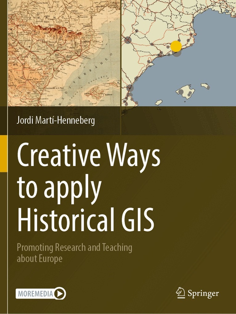
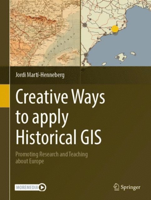
    Creative Ways to apply Historical GIS

    Promoting Research and Teaching about Europe

    AvJordi Martí-Henneberg

    Inbunden, Engelska, 2023

    1 673 kr

    Beställningsvara. Skickas inom 10-15 vardagar. Fri frakt över 249 kr.

    Fler format och utgåvor

    E-bok

    2 105 kr

    Häftad

    1 673 kr

    Beskrivning

    This volume promotes the use of Historical GIS (H-GIS) for both education and research. It consists of a coherent set of chapters that allow readers to study the spatial histories of cities, infrastructure, landscapes, and more across Europe. Each chapter is accompanied by Electronic Supplementary Material (ESM) including GIS data, guides and complementary material in .pdf format, and more. To date, there are no similar materials available in this field compiled in a single book. Interdisciplinarity in spatial research is a main theme of this volume, and the text and tools provided here allow readers to combine inputs relating to the study of earth sciences, population, urban growth and transportation, focusing on changes over both space and time. Each chapter provides data in GIS format and also a user's guide to enable readers to deeply engage with the contents themselves. Guidelines are provided to help locate new data about other areas of the world, which users will be able to develop independently. The book is divided into three parts, each presenting different scales of study and analysis at the local, regional and national levels. Part One deals with general subjects analyzed across large areas, mainly within Europe. Part Two provides more specific subjects and data. Part Three covers sources and teaching with H-GIS. The book will be of interest to researchers, academics, teachers and students from secondary schools up to university level. Each subject and tutorial is aimed at a multi-level audience.

    Produktinformation

    • Utgivningsdatum:2023-10-04
    • Mått:210 x 279 x 21 mm
    • Vikt:732 g
    • Format:Inbunden
    • Språk:Engelska
    • Antal sidor:200
    • Förlag:Springer International Publishing AG
    • ISBN:9783031217302

    Utforska kategorier

    • Europas historia inom Historia och arkeologi
    • Geografi inom Naturvetenskap och teknik
    • Pedagogisk metodik inom Psykologi och pedagogik

    Mer om författaren

    Dr. Jordi Marti-Henneberg is a Professor of Human Geography and Jean Monnet Chair in European Integration at the University of Lleida, Spain. His work consists of constructing and obtaining results from a new GIS database for studying the historical geography of Europe since the mid-19th century. He measures and map three main phenomena: changes in regional borders; the growth of total population at the regional, urban and municipal levels; and the evolution of transportation networks, at 10-year intervals, since 1830. The main challenges consist of integrating all of this information and calculating the market access provided by the combination of different modes of transport at the regional level. Websites created: https://www.learneurope.eu, http://europa.udl.cat/, and www.ciudadyferrocarril.com, on railway stations; and www.patrimoniindustrial.cat, on industrial heritage.

    Innehållsförteckning

    • 1-Using the GIS of regional boundaries to analyse historical data on population and GDP.- 2-The urbanization process: Covering the evolution of 7,269 cities in Europe, 1870-2020.- 3-The spread of railways in Europe: 1830-2020.- 4-Main roads in Europe: from 1835 to the first motorway network.- 5-European ports : a location analysis.- 6-A combined view of the impact of transport infrastructure on population distribution and urbanization processes in Europe.- 7-Using Historical Aerial Photographs to Study Long Term Landscape Dynamics.- 8-The Transport Revolution on Land and Sea: Fishing and Railways in Great Britain, Spain and Portugal, 1840-1914.- 9-Mapping one century of accessibility on the French railway network, 1830-1930.- 10-The Expansion of Mail Service and Railways in Britain and France, 1840-1914.- 11-The Historical Economic Geography of Worker Welfare Ratios and Skill Premiums Across 603 Cantons of Southwest France based on ca. 1857 L’enquete Agricole Archival Data.- 12-The uses of census data to study the evolution of two indicators of human development: infant mortality and fertility in Europe.- 13-The use of urban cartography to analyse the spread of cities through history.- 14-Identifying historical landscapes and cultural heritage using GIS.