• Fri frakt över 249 kr
  • •
  • Snabba leveranser
  • •
  • Billiga böcker
Kundservice

Du är på sajten för privatpersoner.

Företag, bibliotek eller offentlig verksamhet?

Du handlar på classic.bokus.com, där alla dina funktioner finns intakta.
Till classic.bokus.com
Bokus logotyp. Gå till startsidan.
  • Erbjudanden
  • Nyheter
  • Student
  • Topplistor
  • Barn & ungdom
  • Bokus Play
  • E-böcker
  • Pocketböcker
  • Spel & pussel

10% rabatt på allt med kod: NYSTART10 →

Sidfot

Mina sidor

    Hjälp

    • Kundservice
    • Vanliga frågor och svar
    • Frakt och leverans
    • Retur vid ångerrätt
    • Reklamera vara
    • Betalning
    • Köpvillkor
    • Allmänna villkor
    • Information om webbplatsens tillgänglighet

    Om Bokus

    • Om oss
    • Pressrum
    • För studenter
    • För företag
    • För bibliotek och offentlig verksamhet
    • För leverantörer
    • Hållbarhet

    Populärt

    • Aktuella erbjudanden
    • Presentkort
    • Studentlitteratur
    • Nya böcker
    • Topplistor
    • Signerade böcker
    • Engelska böcker

    Inspiration

    • Boktips
    • BookTok
    • Populära bokserier
    • Barnbokskaraktärer
    • Populära författare
    Logotyp för Bokus
    Följ oss på Facebook (extern länk)Följ oss på Instagram (extern länk)Följ oss på YouTube (extern länk)Följ oss på TikTok (extern länk)
    bokus @ CookiesAnpassa cookiesIntegritetspolicyKöpvillkor
    Till Citymail hemsida (extern länk)Till Budbee hemsida (extern länk)Till Postnord hemsida (extern länk)Till Schenker hemsida (extern länk)Till Early Bird hemsida (extern länk)Till Walleys hemsida (extern länk)
    1. Naturvetenskap och teknik
    2. Geovetenskap
    3. Miljövetenskap och miljöpolitik

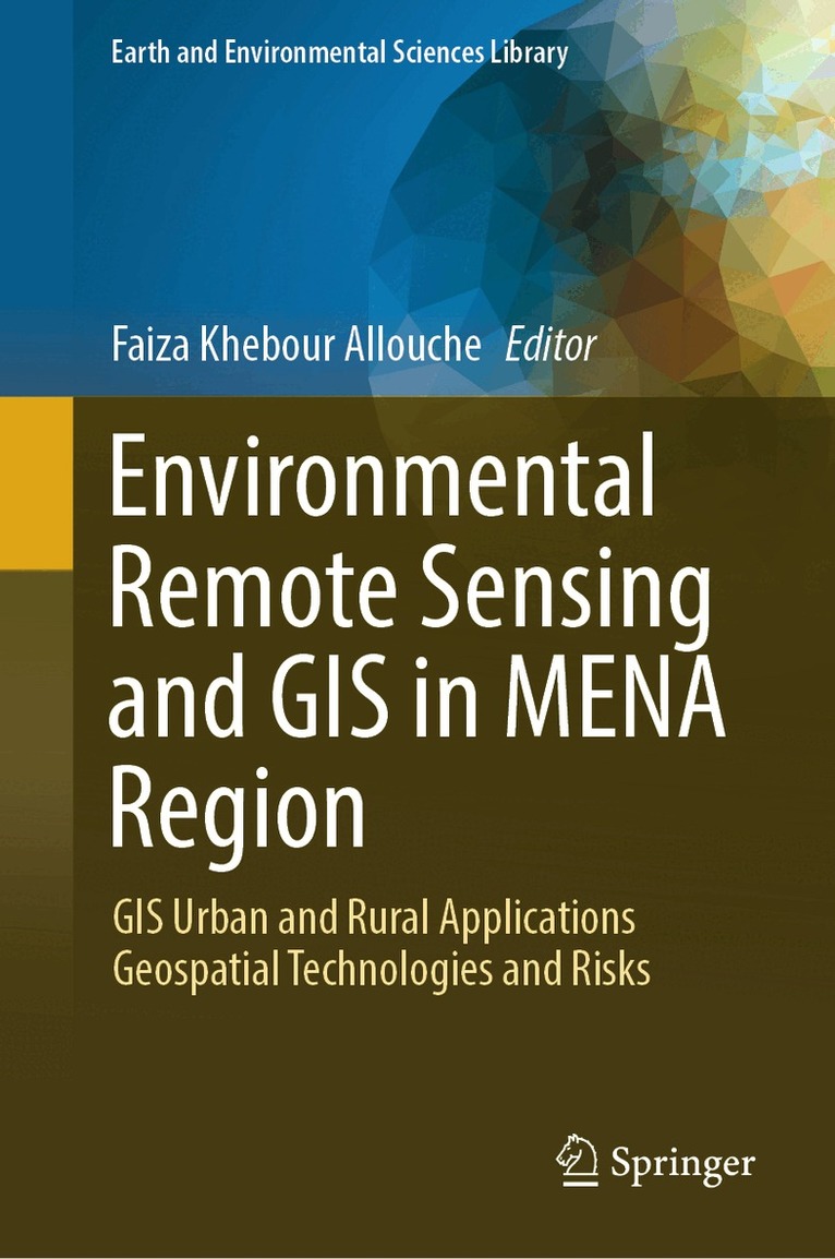
    Environmental Remote Sensing and GIS in MENA Region

    GIS Urban and Rural Applications Geospatial Technologies and Risks

    AvFaiza Khebour Allouche

    Inbunden, Engelska, 2026

    Del i serien Earth and Environmental Sciences Library

    1 626 kr

    Beställningsvara. Skickas inom 10-15 vardagar. Fri frakt över 249 kr.

    Beskrivning

    This book is authored by experts in the topic from MENA region to present the results and findings of their research work and the related state-of-the-art connected to the book title. This unique volume highlights recent efforts to present the importance of the use of remote sensing ad GIS tools to assess and monitor risks that threaten different cities or rural areas face to climate change and anthropogenic actions. This book's authors gathered a unique set of applications and approach, including techniques applied to optimize the exploitation of resources such us pelagic fish, to manage water resources, to map heat islands, etc. For example, a recent study done in Algiers, Sousse and Marrakesh regions show the variation of the spatial distribution of the vegetation cover since the 1970s, as well as since the colonial period. The valorization of GEE to treat data of remote sensing for different applications in earth sciences is presented too. Given its scope, the book provides a valuable tool for decision support and a valuable guide for policy planners, decision-makers, stakeholders, researchers, engineers and graduate students.

    Produktinformation

    • Utgivningsdatum:2026-01-03
    • Mått:155 x 235 x 26 mm
    • Vikt:821 g
    • Format:Inbunden
    • Språk:Engelska
    • Serie:Earth and Environmental Sciences Library
    • Antal sidor:367
    • Förlag:Springer International Publishing AG
    • ISBN:9783031865732

    Utforska kategorier

    • Miljövetenskap och miljöpolitik inom Naturvetenskap och teknik
    • Sociologi inom Samhälle och politik
    • Geografi inom Naturvetenskap och teknik

    Mer om författaren

    Pr. Faiza Khebour Allouche is a full Professor at the High Institute of Agronomic Sciences Chott Meriam (ISA-CM), Sousse University, Department of Horticultural Sciences and Landscape, Laboratory of Integrated management of natural resources: remote sensing, spatial analysis and modeling (GREEN-TEAM). She received the BsC. degree in Agronomic sciences from the ISA-CM, Sousse, in 1997, the M.S. degree in Improved crop production in 2000, with Honours, from the National Agronomic Institute of Tunis (INAT), Carthage University. She got her PhD degree in the field of Agronomic Sciences in 2007, with the highest level of distinction, from the Mirail Toulouse2 University, France, and has an Advanced Certificate in Geomatics and Applications from the National School of Geographic Sciences-Marne-La-Valée, Paris, France and the Hassania school of public works, Casablanca, Marocco. Pr. Faiza Khebour Allouche participated in several national and international projects from 1998 until now. She published more than 100 papers in national and international journals and conferences. She is a member of the scientific committee of several international conferences and a member of the organizing committee of others and participated in more than 50 conferences. Her principle background is related to engineering sciences and integrated geomatics applications in the field of agriculture and environment and her current research activities focuses on the integration of IA in Earth Observation data to support Sustainable Development Goals in MENA regions. She is the editor of three volumes at the Springer Handbook of Springer nature Series.

    Innehållsförteckning

    • Introduction to Environmental Remote Sensing and GIS in MENA Regions.- GIS and remote sensing for a better understanding of ancient and modern rainwater harvesting strategies and the identification of current potentials and improvement possibilities.- The National Strategy for the Development of Small Pelagic Fisheries in the Northeast of Tunisia (Central Mediterranean): Status and Prospects.- Benthic Trawling Bycatch Discards and Fisheries Management in Northern Tunisia (G12 Area) Western Mediterranean Sea.- Remote sensing applications with Google earth engine.