• Fri frakt över 249 kr
  • •
  • Snabba leveranser
  • •
  • Billiga böcker
Kundservice

Du är på sajten för privatpersoner.

Företag, bibliotek eller offentlig verksamhet?

Du handlar på classic.bokus.com, där alla dina funktioner finns intakta.
Till classic.bokus.com
Bokus logotyp. Gå till startsidan.
  • Erbjudanden
  • Nyheter
  • Student
  • Topplistor
  • Barn & ungdom
  • Bokus Play
  • E-böcker
  • Pocketböcker
  • Spel & pussel

10% rabatt på allt med kod NYSTART10 →

Sidfot

Mina sidor

    Hjälp

    • Kundservice
    • Vanliga frågor och svar
    • Frakt och leverans
    • Retur vid ångerrätt
    • Reklamera vara
    • Betalning
    • Köpvillkor
    • Allmänna villkor
    • Information om webbplatsens tillgänglighet

    Om Bokus

    • Om oss
    • Pressrum
    • För studenter
    • För företag
    • För bibliotek och offentlig verksamhet
    • För leverantörer
    • Hållbarhet

    Populärt

    • Aktuella erbjudanden
    • Presentkort
    • Studentlitteratur
    • Nya böcker
    • Topplistor
    • Signerade böcker
    • Engelska böcker

    Inspiration

    • Boktips
    • BookTok
    • Populära bokserier
    • Barnbokskaraktärer
    • Populära författare
    Logotyp för Bokus
    Följ oss på Facebook (extern länk)Följ oss på Instagram (extern länk)Följ oss på YouTube (extern länk)Följ oss på TikTok (extern länk)
    bokus @ CookiesAnpassa cookiesIntegritetspolicyKöpvillkor
    Till Citymail hemsida (extern länk)Till Budbee hemsida (extern länk)Till Postnord hemsida (extern länk)Till Schenker hemsida (extern länk)Till Early Bird hemsida (extern länk)Till Walleys hemsida (extern länk)
    1. Medicin
    2. Medicin: allmänt
    3. Samhällsmedicin och preventiv medicin
    4. Epidemiologi och medicinsk statistik

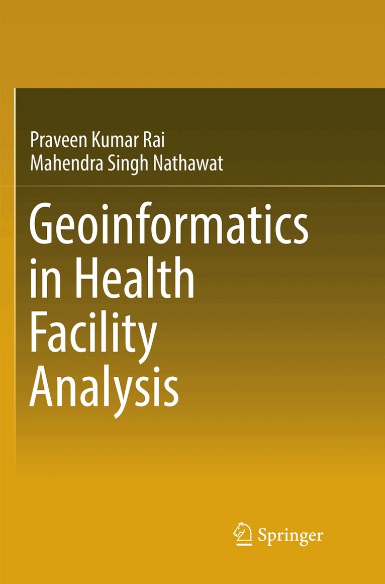
    Geoinformatics in Health Facility Analysis

    AvPraveen Kumar Rai,Mahendra Singh Nathawat

    Häftad, Engelska, 2018

    1 229 kr

    Beställningsvara. Skickas inom 10-15 vardagar. Fri frakt över 249 kr.

    Fler format och utgåvor

    Inbunden

    1 673 kr

    Beskrivning

    This book demonstrates how GIS techniques and statistical methods can be used to emphasise the characteristics of population and its related variables, vis-à-vis care facilities and the status of vector borne diseases, as well as for malaria modeling.  Concentrating on the Varanasi district of India, the main aim of the book is to determine and map the density areas of vector borne diseases using GIS techniques.The book explores how health GIS is an important sub-discipline of health science and medical geography, which is traditionally focused on the spatial aspects of disease ecology and health care facility analysis.

    Produktinformation

    • Utgivningsdatum:2018-06-08
    • Mått:155 x 235 x 13 mm
    • Vikt:434 g
    • Format:Häftad
    • Språk:Engelska
    • Antal sidor:231
    • Förlag:Springer International Publishing AG
    • ISBN:9783319830971

    Utforska kategorier

    • Epidemiologi och medicinsk statistik inom Medicin
    • Tillämpad datateknik inom Data och IT
    • Geografi inom Naturvetenskap och teknik

    Mer om författaren

    Dr. Praveen Kumar Rai is working as an Assistant Professor of Remote Sensing and GIS course in Department of Geography, Institute of Science Banaras Hindu University, Varanasi, India since 25th August 2008. He did his M.Sc. in Geography with Remote Sensing specialization from Banaras Hindu University (2004-06) and M.Tech. in Remote Sensing from Birla Institute of Technology, Mesra, Ranchi (2006-08). Dr. Rai also did his PhD. degree in Remote Sensing and GIS from Birla Institute of Technology, Mesra, Ranchi (2009-12). His area of specialization is Glacier Mapping Using Remote sensing. Land Use Land Cover Mapping, Health GIS, Natural Resource Mapping and Management, Regional & Urban Planning using GIS. He has published more than 38 international and national research papers in the various fields of Remote Sensing and GIS and has also written 2 books in the application of Remote Sensing and GIS.Prof. M.S.Nathawat is a well-known Geographer. After his M.A. in Geography from Rajasthan University (1980), he worked in South Asia Study Centre, University of Rajasthan as a Research Fellow (1982-1984) and then he joined as a Scientist/Lecturer (1985-93) and Senior Scientific Officer and in-charge (1993-98) in Dept. of Remote Sensing, B.M. Birla Science & Technology Centre, Jaipur. He also joined State NRDMS Centre, Dept. of Science & Technology, Govt. of Haryana as a Project Director (1998-2001). Prof. Nathawat headed Department of Remote Sensing & Geoinformatics, Birla Institute of Technology (BIT), Mesra, Ranchi (India) from 2001 to 2011. At present Prof. Nathawat is working   as a Professor in Geography Discipline School of Sciences, Indira Gandhi National Open University (IGNOU), New Delhi, India since 2011. He did his PG Diploma (1986-87) in Remote Sensing Techniques in Geology & Geomorphology, Indian Institute of Remote Sensing, Dept. of Space. Dehradun. He has completed his PhD (1992-96) in University of Rajasthan in the field of Geomorphological Aspects of the Processes of Desertification in Rajasthan:  Monitoring & Dynamics with Remote Sensing. His area of specialization and research interest are Desertification, GIS, Natural Resources Management, Regional & Urban Planning, Environmental Geomorphology, Climate Change, Sustainable livelihood    and Disaster Management. He has 30 years’ research experiences and 16 years teaching experiences in the field of Remote Sensing and GIS and has published more than 60 research papers in various international and national journals and has also written 8 books. Prof Nathawat also made significant contributions in number of Atlases published by NRSC (ISRO), HSCST, and SAC etc. He has been awarded Baden-Wuerttemberg Fellowship-2009-10 (Under Indo-German Cultural Exchange Programme). Under his supervision more than 15 PhD. students and 42 M.Tech./M.Sc. students have completed their degree.

    Innehållsförteckning

    • 1. Health Care System and Geospatial Technology: A Conceptual Framework of the Study.- 2. Varanasi District: Study Area Profile.- 3. Integration of Census Data with GIS for Analysis of Population Characteristics.- 4. Analysis of Health Care Facility Using GIS.-  5. GIS in Vector Borne Disease Mapping.- 6. Malaria Susceptibility Mapping Using Statistical Methods with GIS.- 7. A Geographical Survey for Utilization of Health Care Facilities.- 8. GIS in Health Care Planning.- Bibliography.- Appendix.